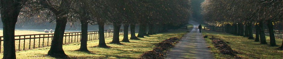
Before I get onto today’s trip, a couple of pictures from outside our hotel last night.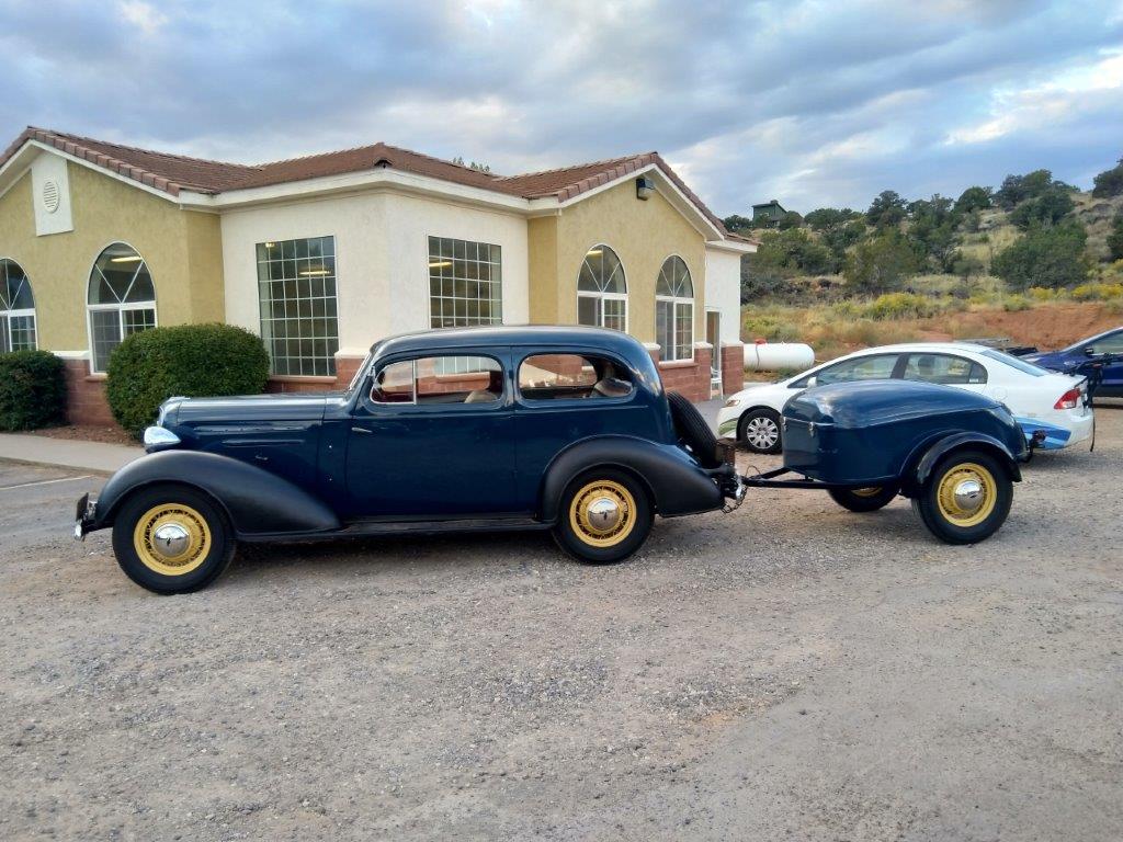
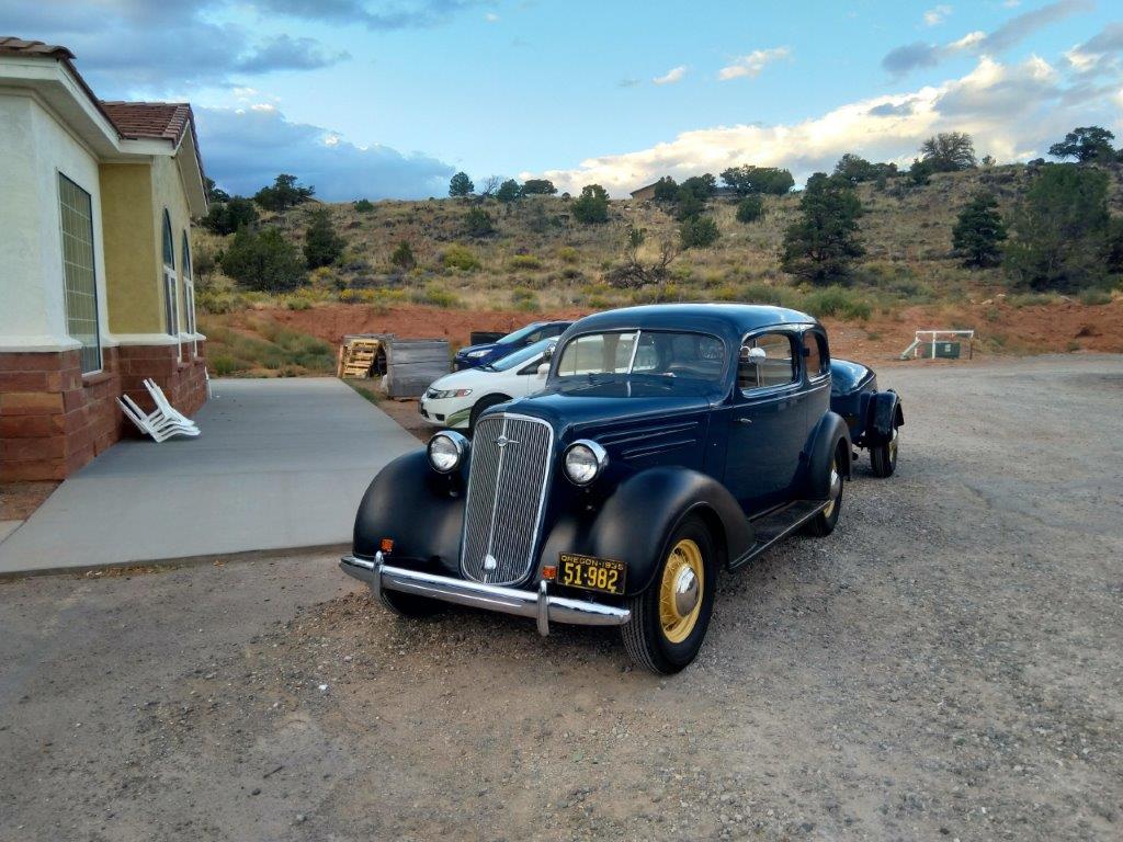 All I can tell you is the car was in great condition, it was a Chevrolet and had 1935 Oregon plates. Any further identification??
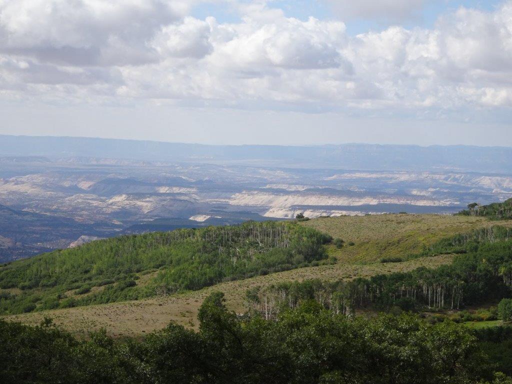
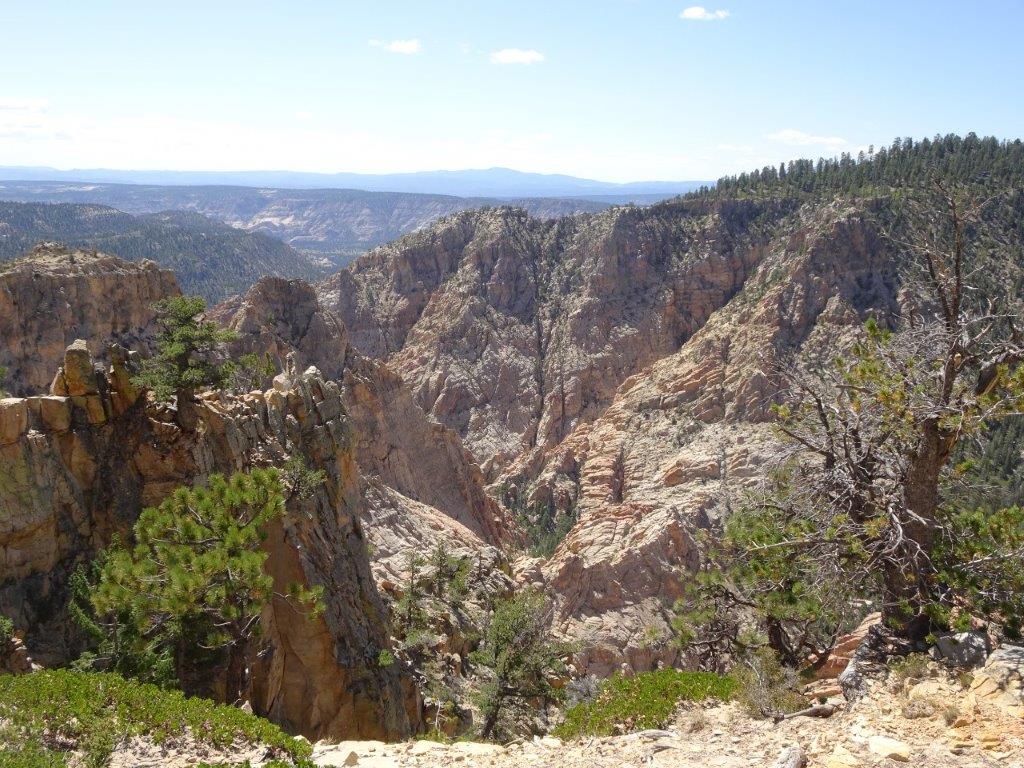
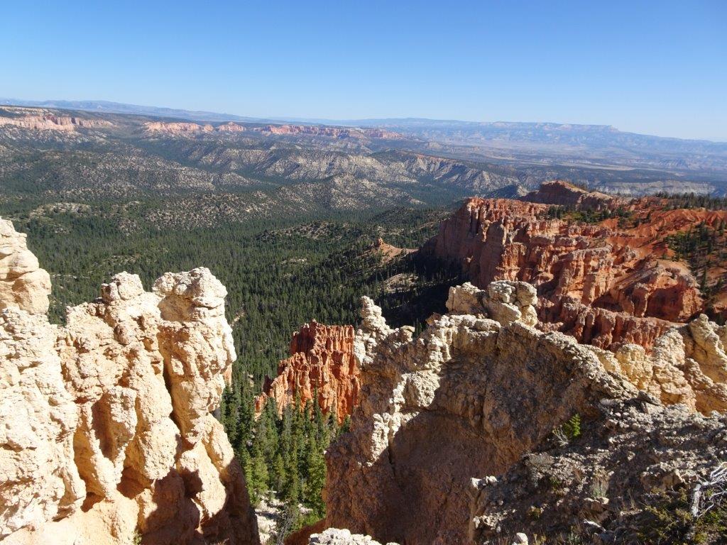
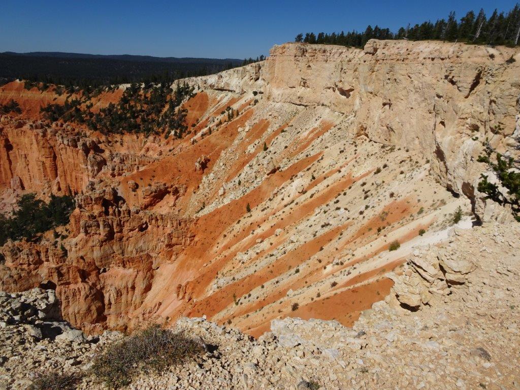
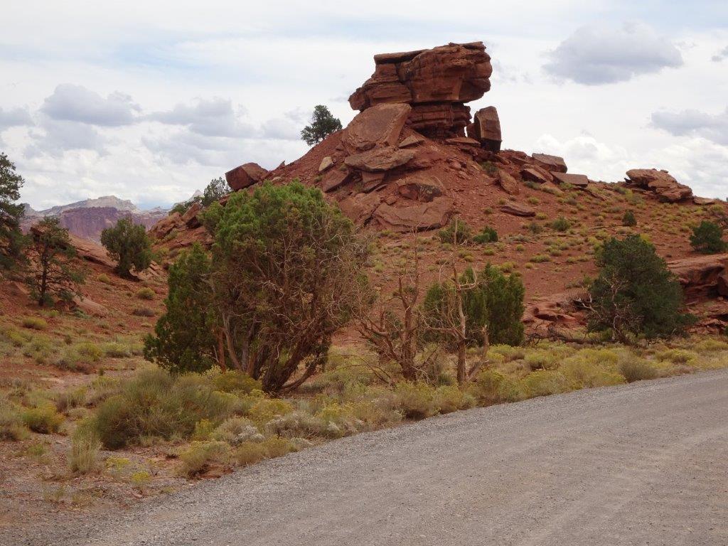
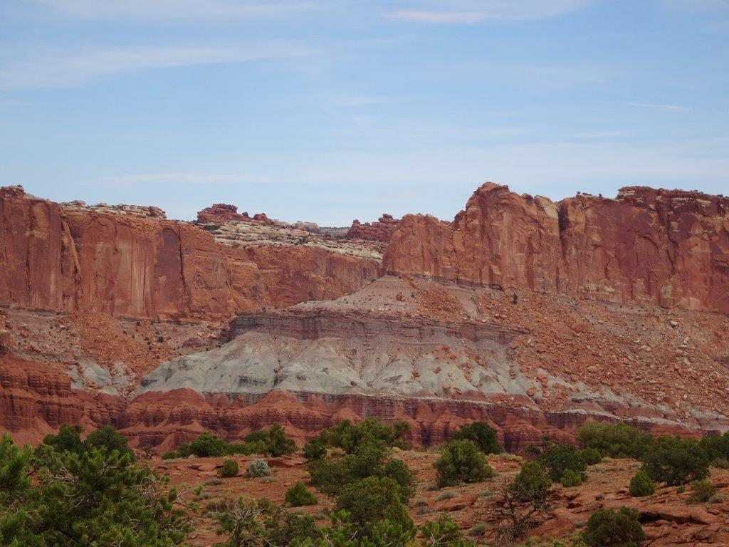
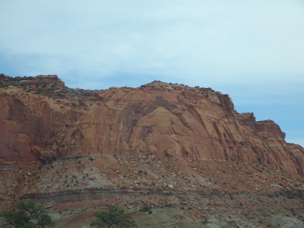
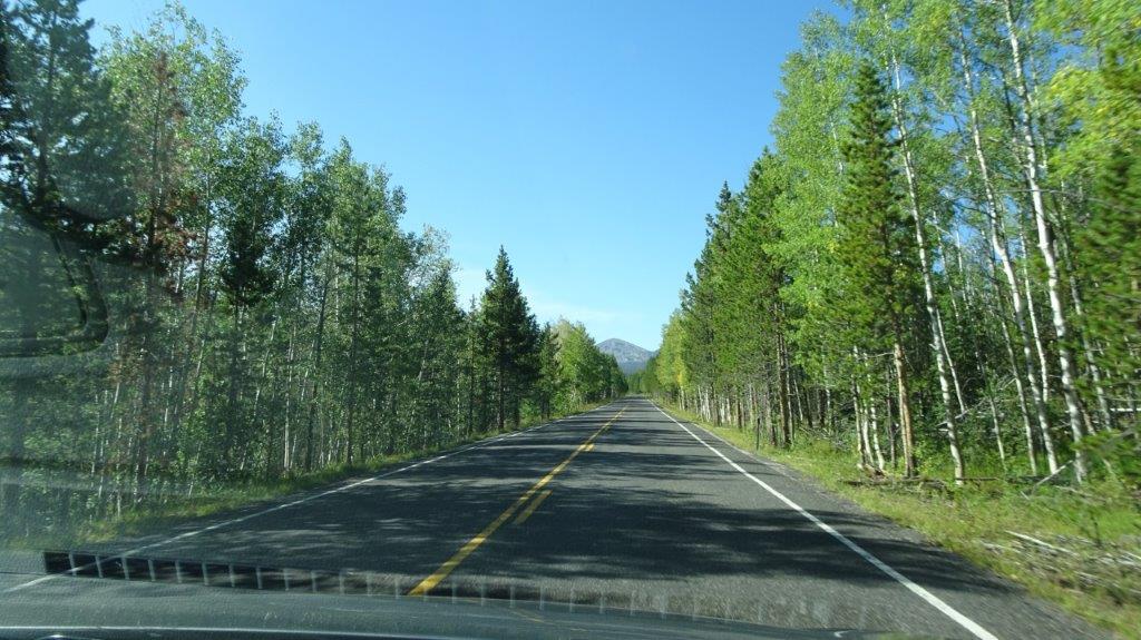
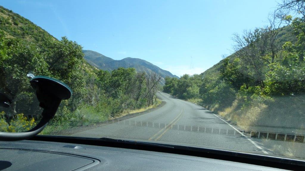
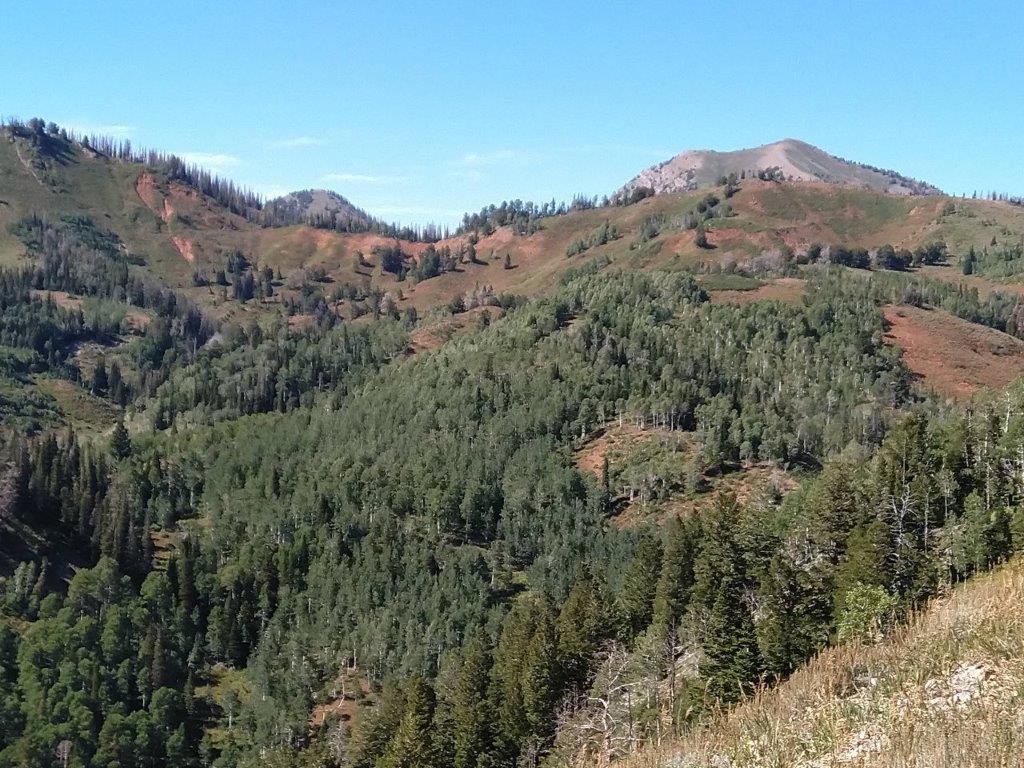
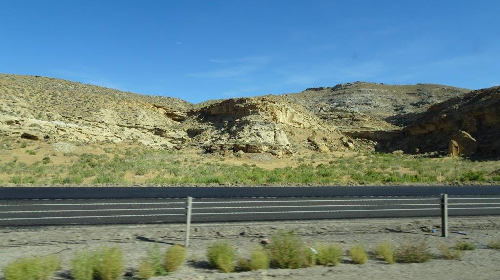
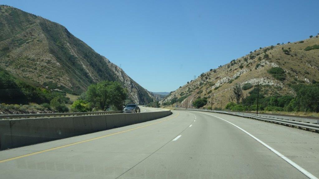
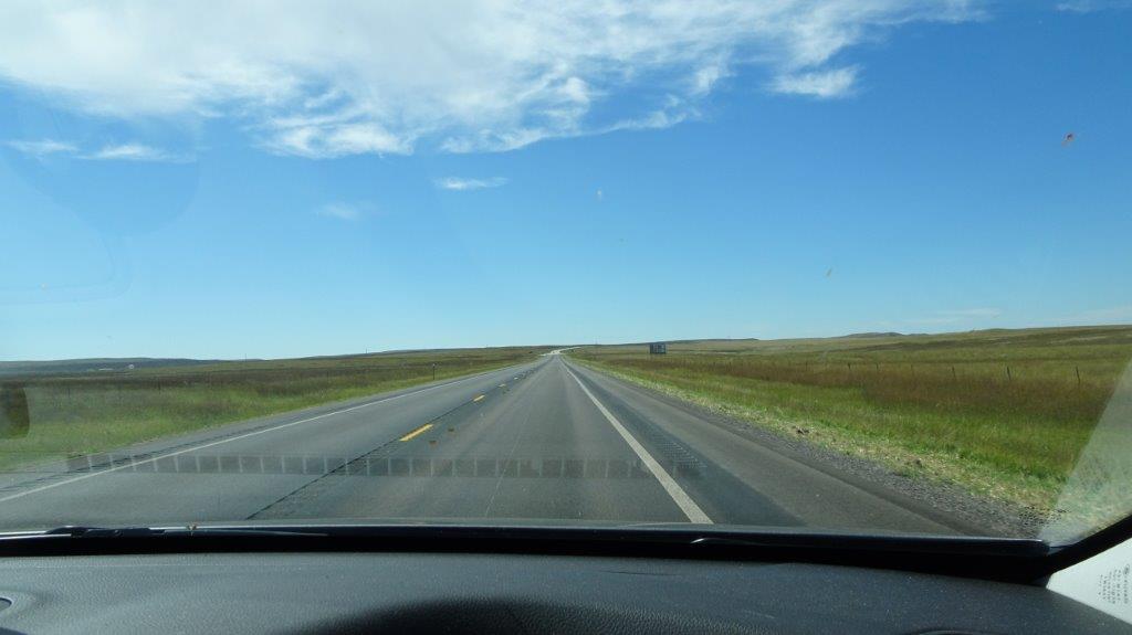
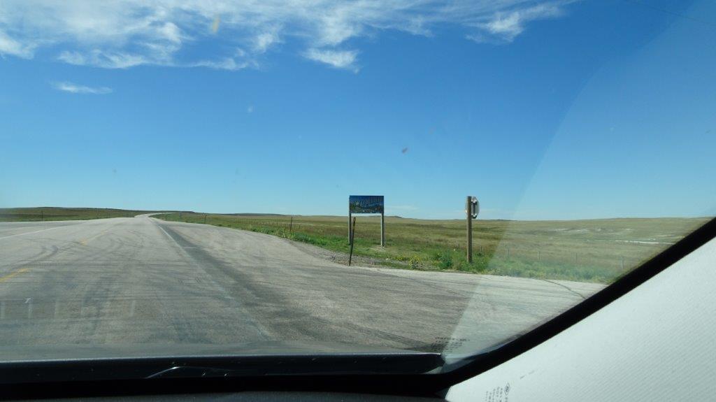
We headed out this morning in search of ….. you’ve guessed it, more scenery. Actually around here you don’t need to search, it’s just there!

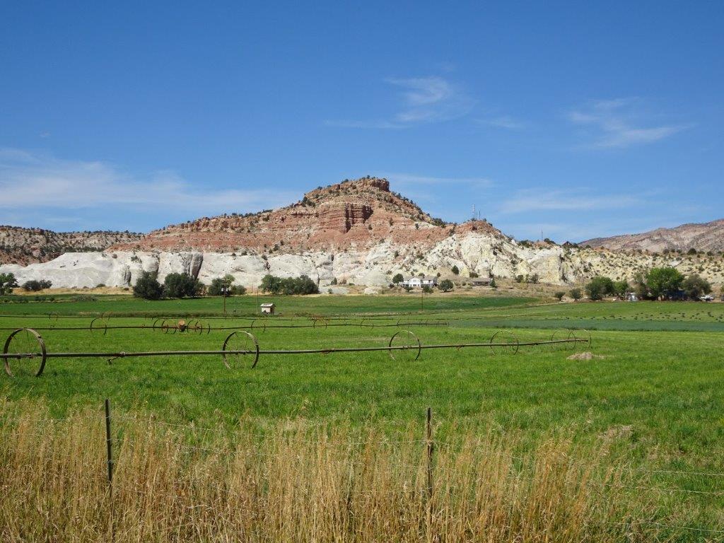
Our first stop along the way was the Anasazi Indian Village State Park. This was an area inhabited by the Anasazi tribe around 1050 AD (that would be 1050 CE for the more politically correct among you, if there are any). Either way it was nearly 1000 years ago.
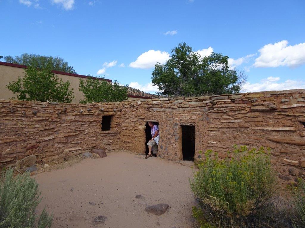 Replica of Buildings
 Ceiling Beams Supporting Earth and Stone Above
View of Roof
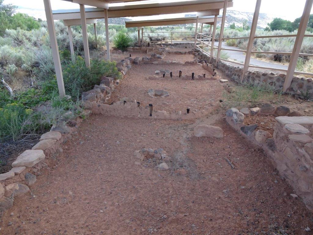

Above are pictures of the original village buildings, the short black vertical objects are the original wooden wall supports. When the tribe left the village after 50 years or so it is believed that they intentionally set fire to it.
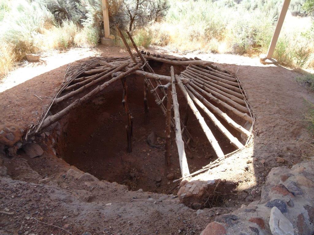 To help preserve heat in the winter, underground accommodation was built.
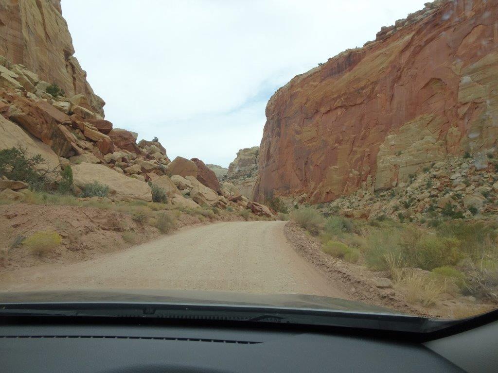
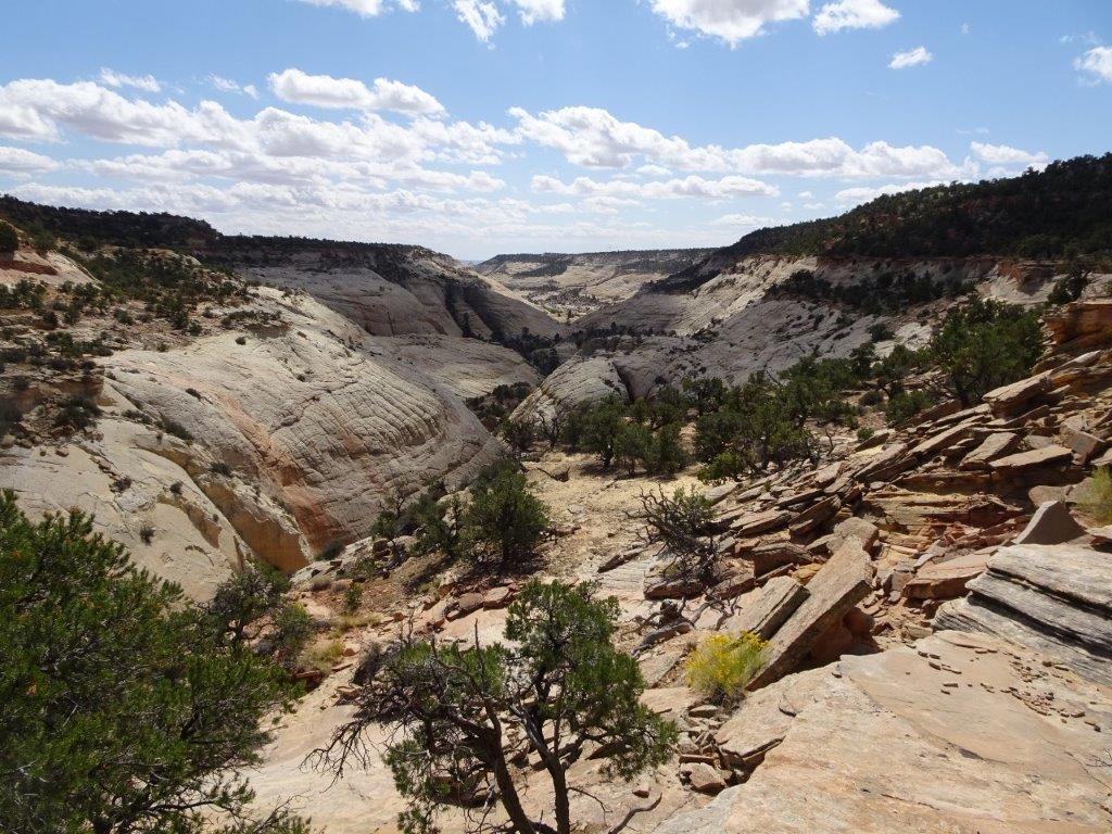
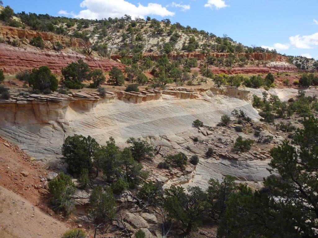
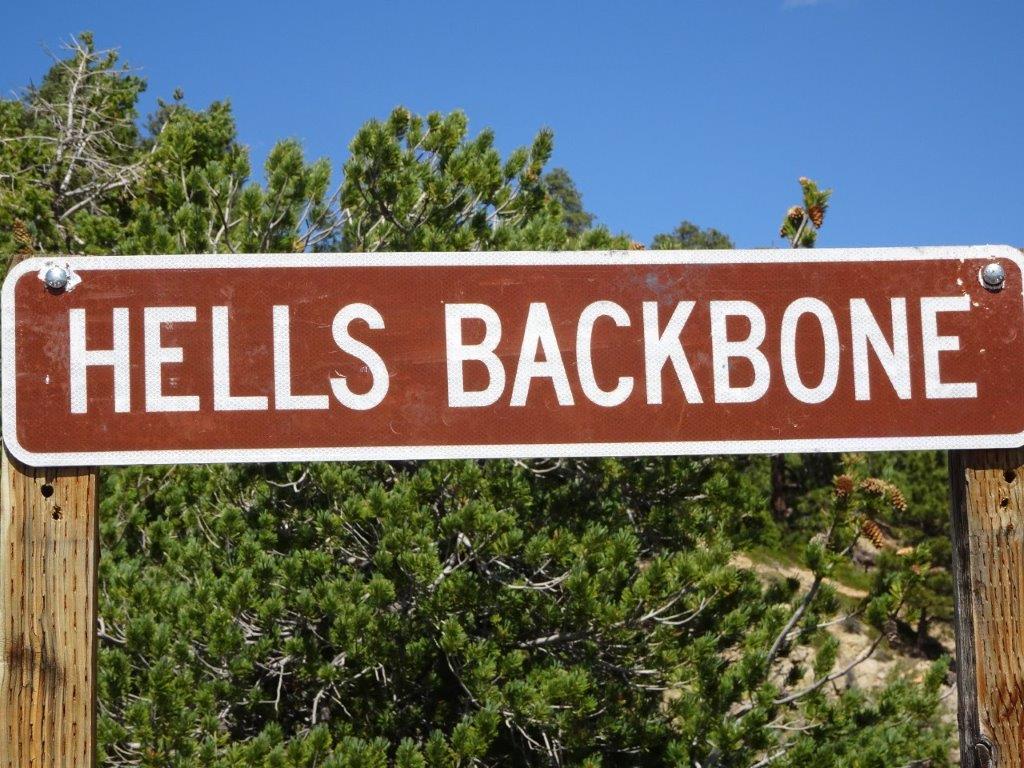
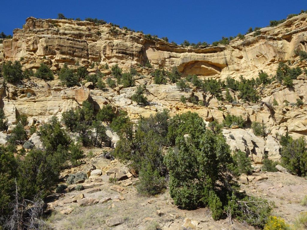
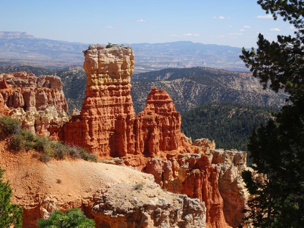
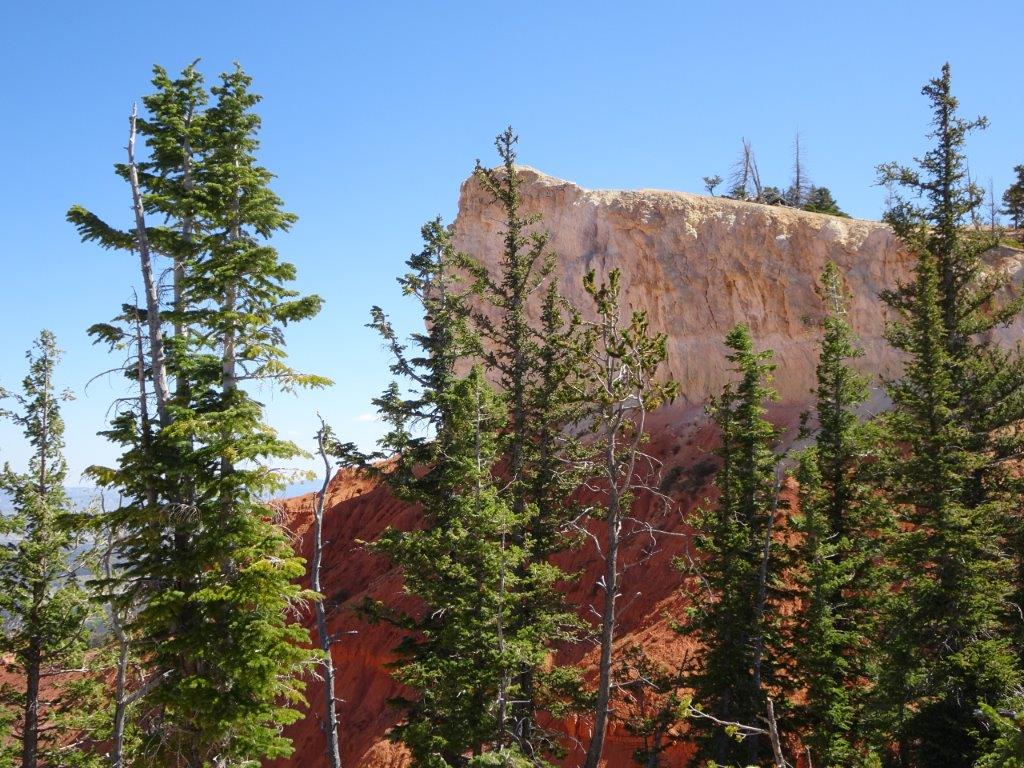
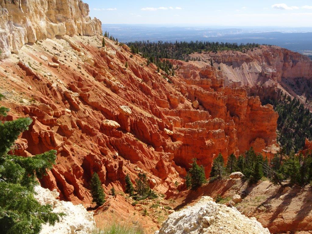
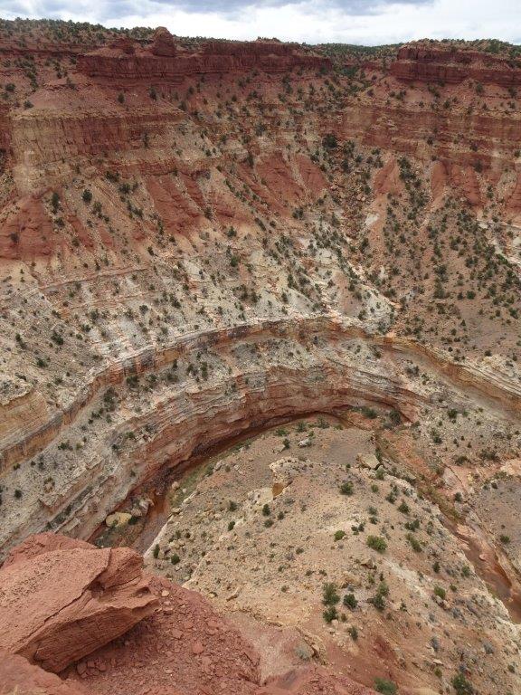
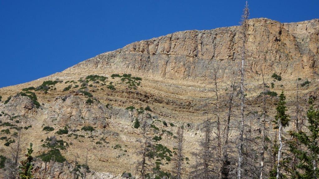
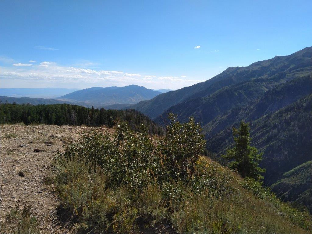
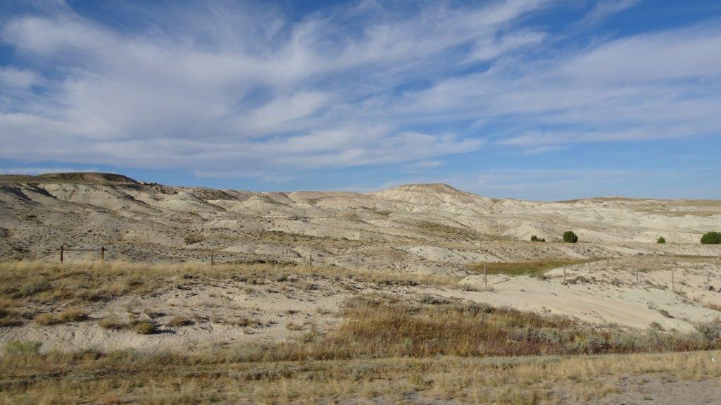
After the village we “discovered” a 45 mile scenic route. It went by the name of the Hell’s Backbone . This was the original road that connected Boulder to Escalante back in the 1930’s. A new road replaced it in the ’60’s. It started off fine, but then changed to an OK gravel road, then slowly deteriorated as the miles went by. There was a great deal of wash-boarding and at times 4 wheel drive was needed to keep both traction and control. In all I had fun driving it, colour has now returned to Lyn’s knuckles and the scenery was probably the best yet.
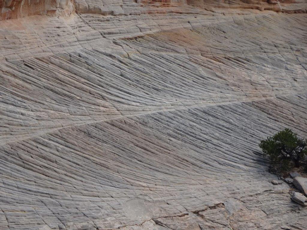
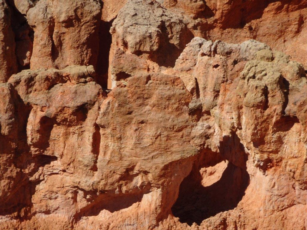
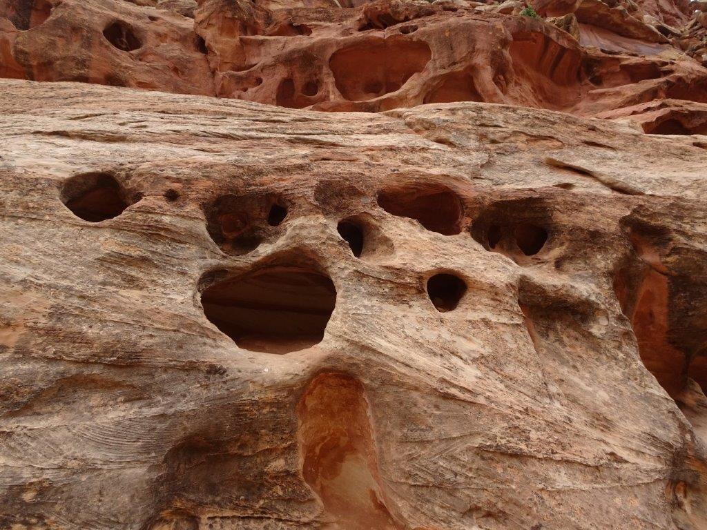
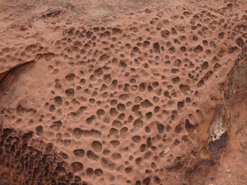
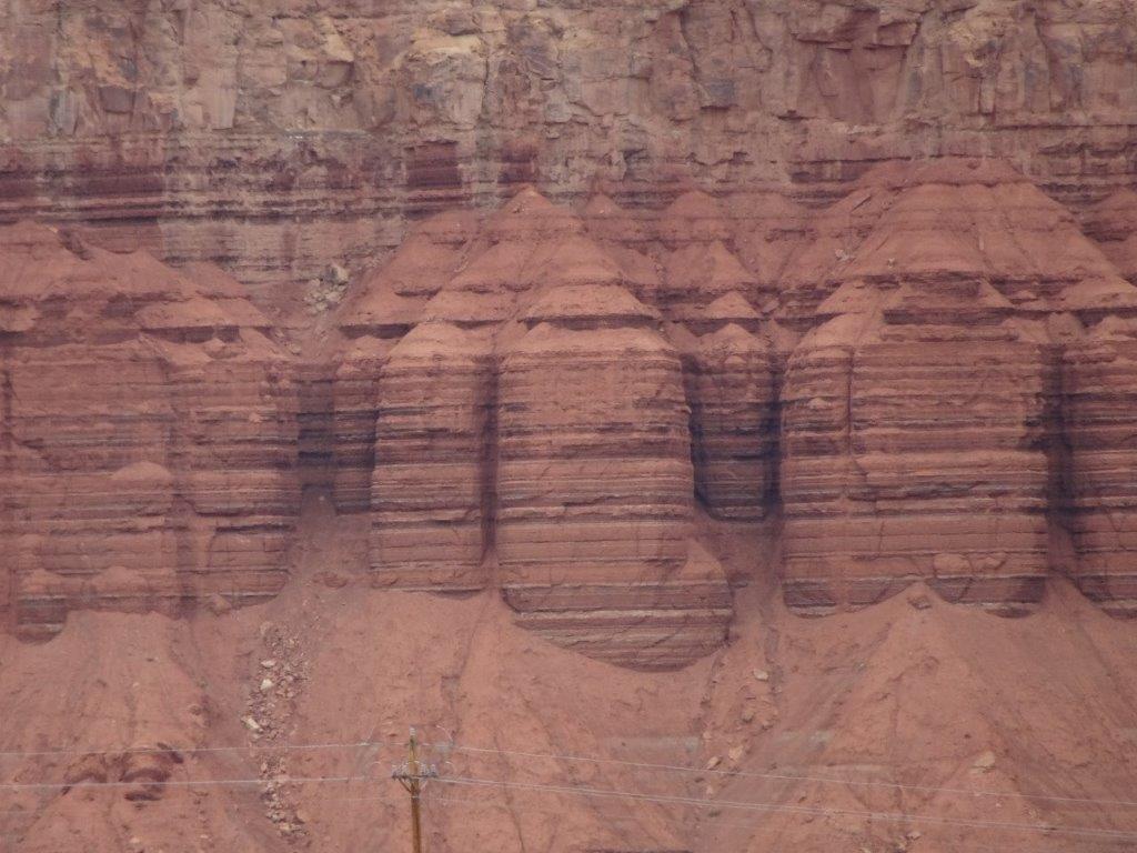
The picture above is a zoom in of the above it, taken to show the marks on the rock.
Hell’s Backbone Bridge joins two escarpments which were approximately 30 ft apart, with a 1500 ft vertical drop between them. When the first bridge was built in the 1930’s two stout trees were felled, planed flat on two sides and placed over the gap. A bulldozer and equipment were then driven over the trees to the other side by a local farmer. His only safety equipment was a rope tied around his midsection.
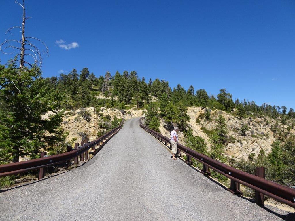
The modern bridge was built about 50 years ago when the timbers of the old bridge started to groan ominously whenever a car crossed it!
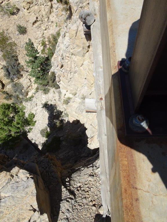
A little difficult to see, but the picture above is looking vertically down and an original grey timber can be seen .
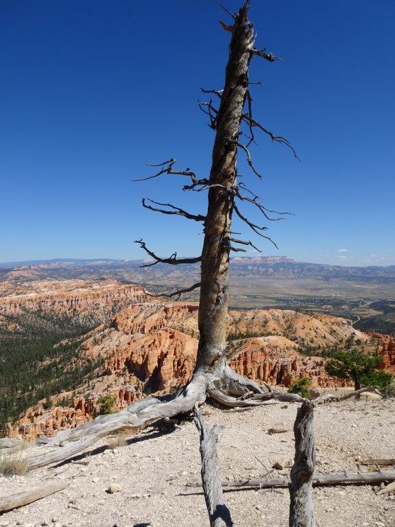
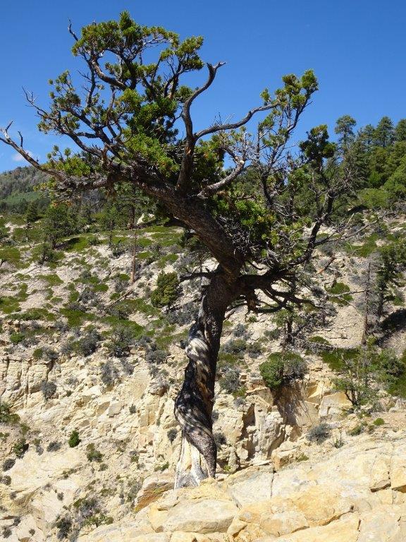 A Twisted Tree


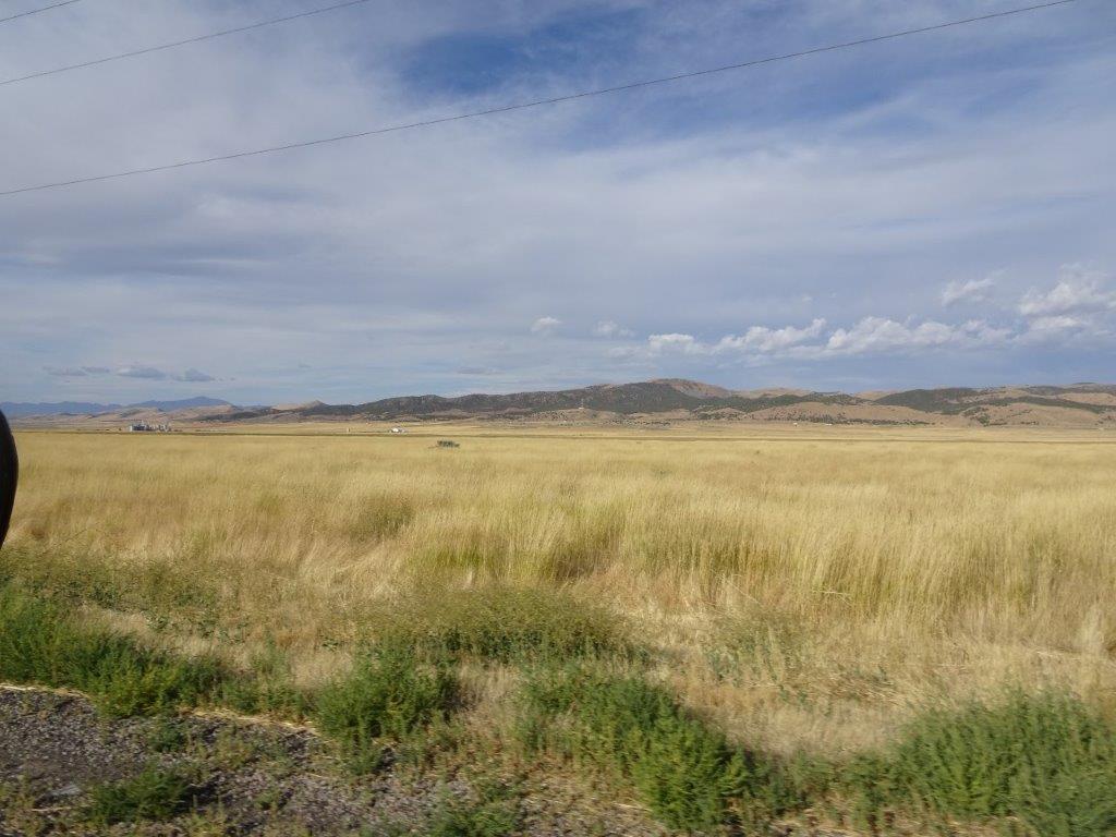
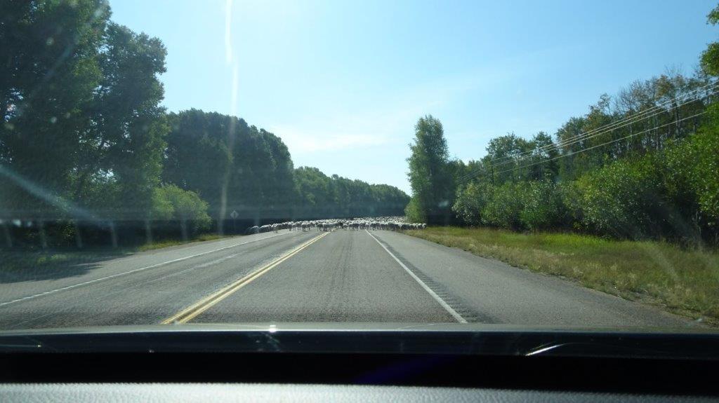
When we reached the end of the track, and got back onto a smooth and solid road surface, the scenery had changed yet again. Scattered all over the area we had seen bright green fields with watering systems, we were soon to learn the crop was Alfa Alfa, one of the few that would grow in the area.
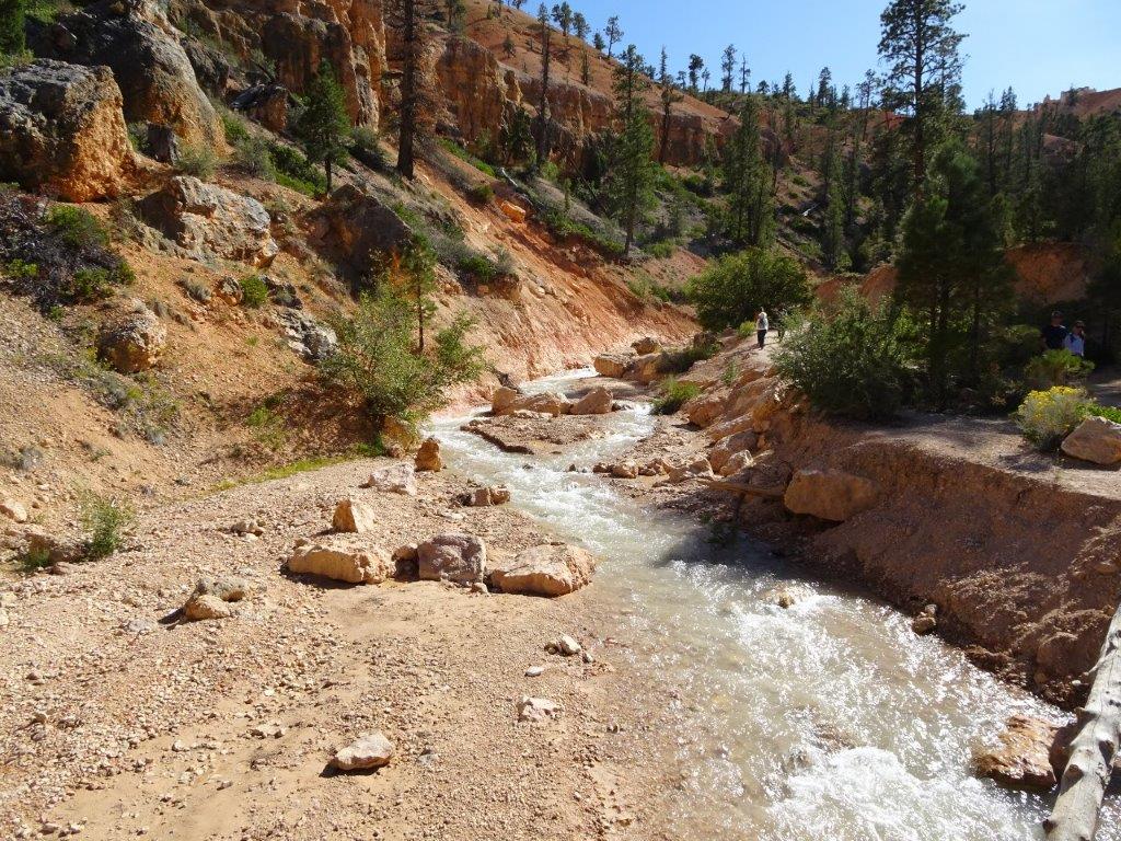
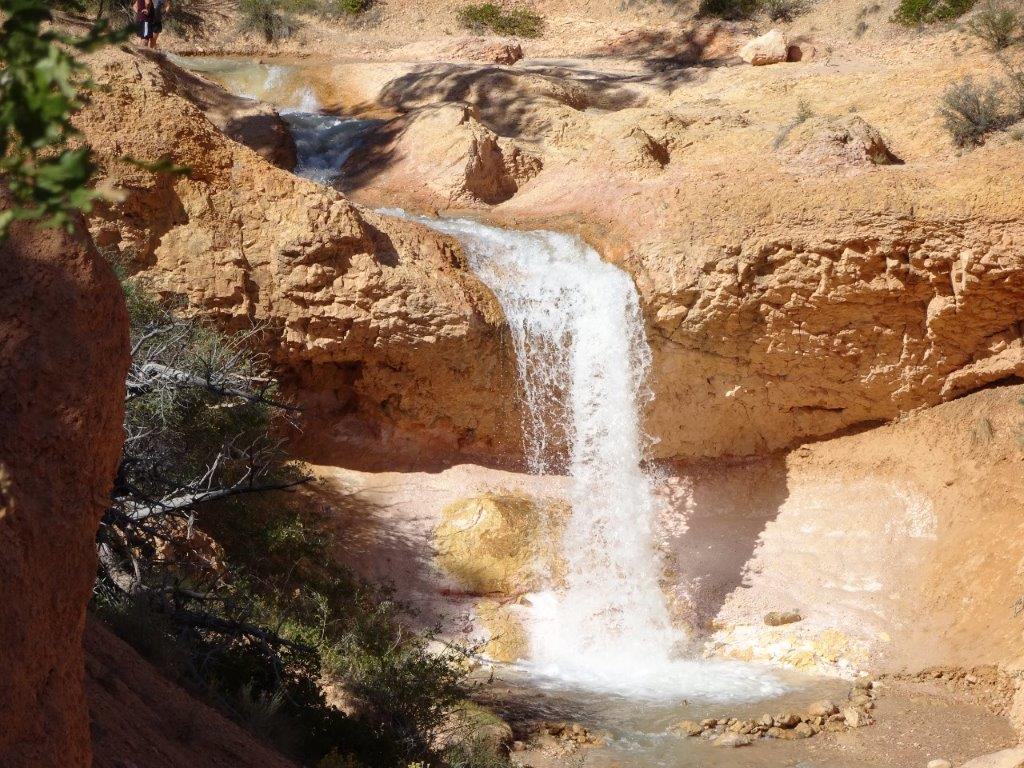
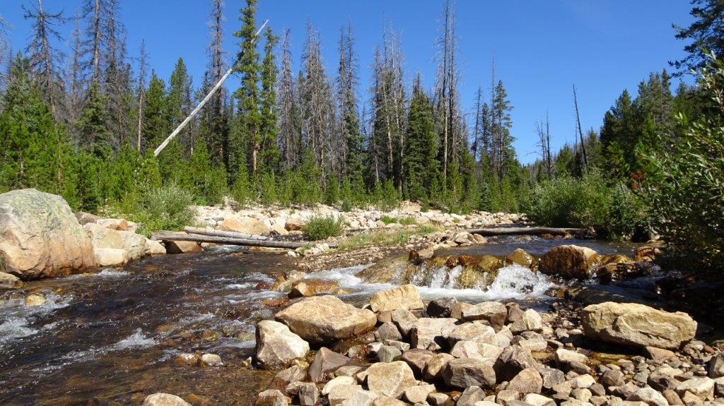
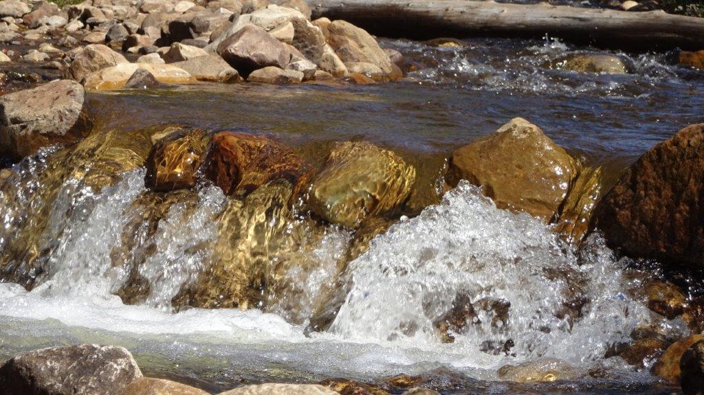
Our next stop was Mossy Cave where we managed to get in a decent walk. The cave was nothing spectacular and certainly not photogenic. However there was a good walk along a fast flowing stream to a waterfall.

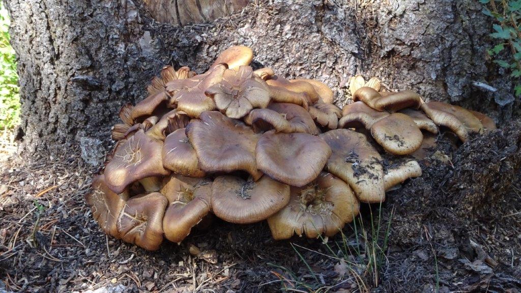
This trips mystery plant, answers on a postcard (or the comments section) please.
We now headed to Panguitch for the night. As we were driving along we saw a pickup truck pull off onto the shoulder, I thought I saw the driver wave to us, so figured he may need help. We reversed back to find out that the truck had a flat tyre. The occupants had all they needed to fix the problem with one exception… a tyre wrench. Unfortunately ours would not fit the larger truck nuts. We offered the driver a lift to the next town where he and 179 other people lived and he was able to pick up the tools and return in his own car. It turns out 50 years ago he was a missionary in Wales ( I always thought the Welsh were a little slow in adopting modern practices). In gratitude for giving him a ride he gave us some home made apricot and prickly pear cookies (a prickly pear is the fruit of a cactus). They were delicious.
We arrived at the hotel in anticipation, we had booked the last available room (I suspect not only in the hotel, but also in the area). Hotel rooms are a scarce commodity here, we’ve now booked rooms for the rest of the week. Anyway, the only room left was a suite; it has a nice sitting room, large bedroom and a Jacuzzi bath, which Lyn is making use of right now!
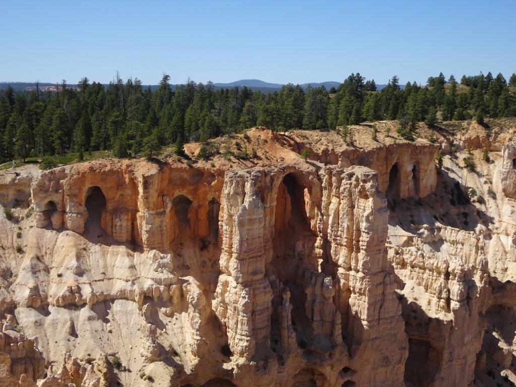

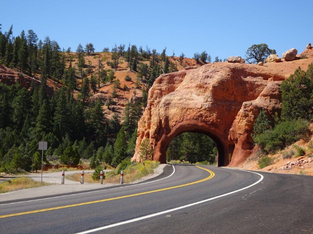
 A Natural Arch
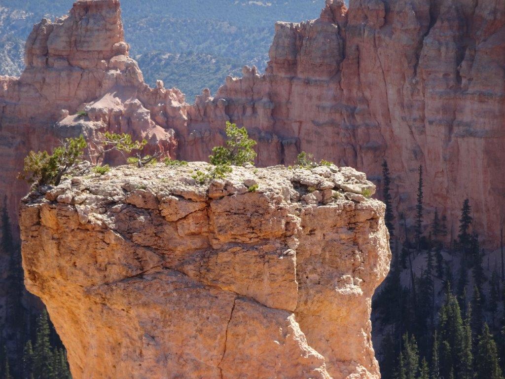


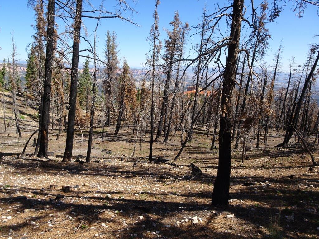 Results of a Lightning Strike Fire
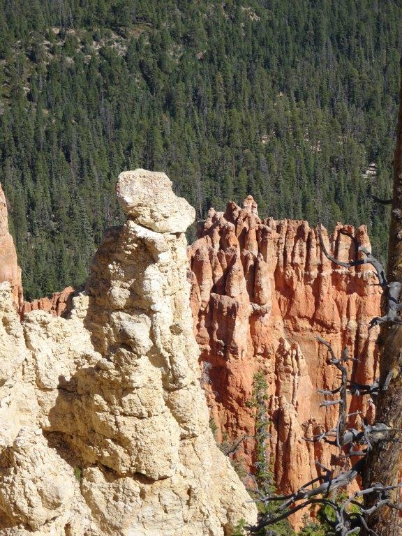


 Just Add Water
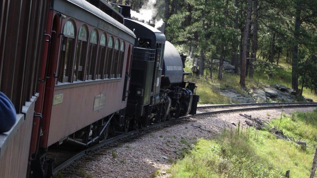 On Our Way
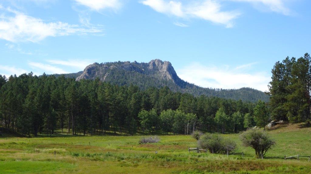
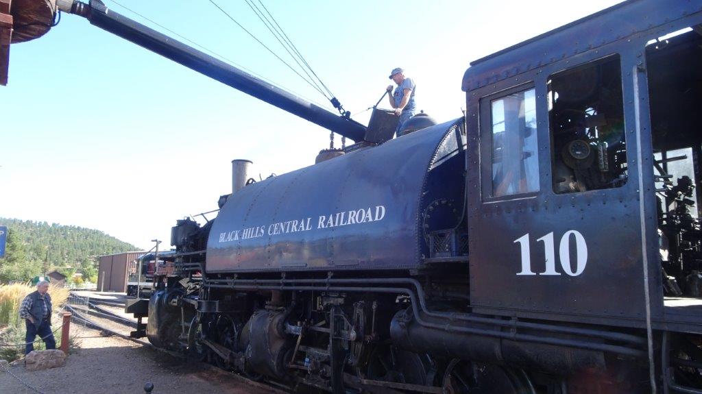
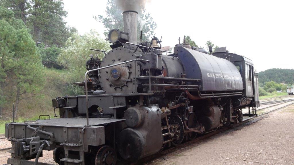
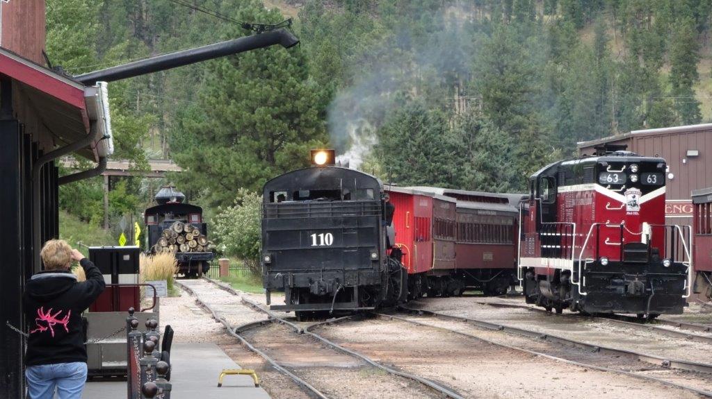
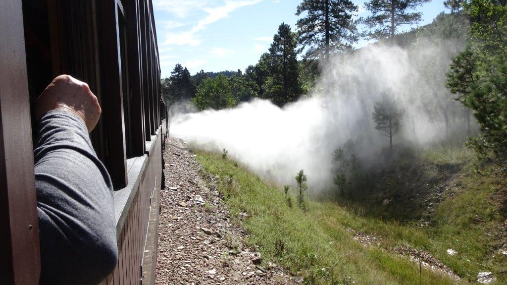 Blowing off Steam
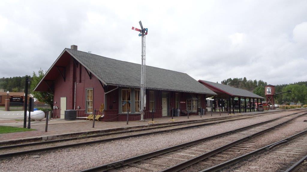
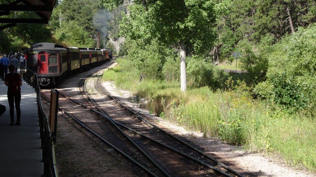 Keystone Station
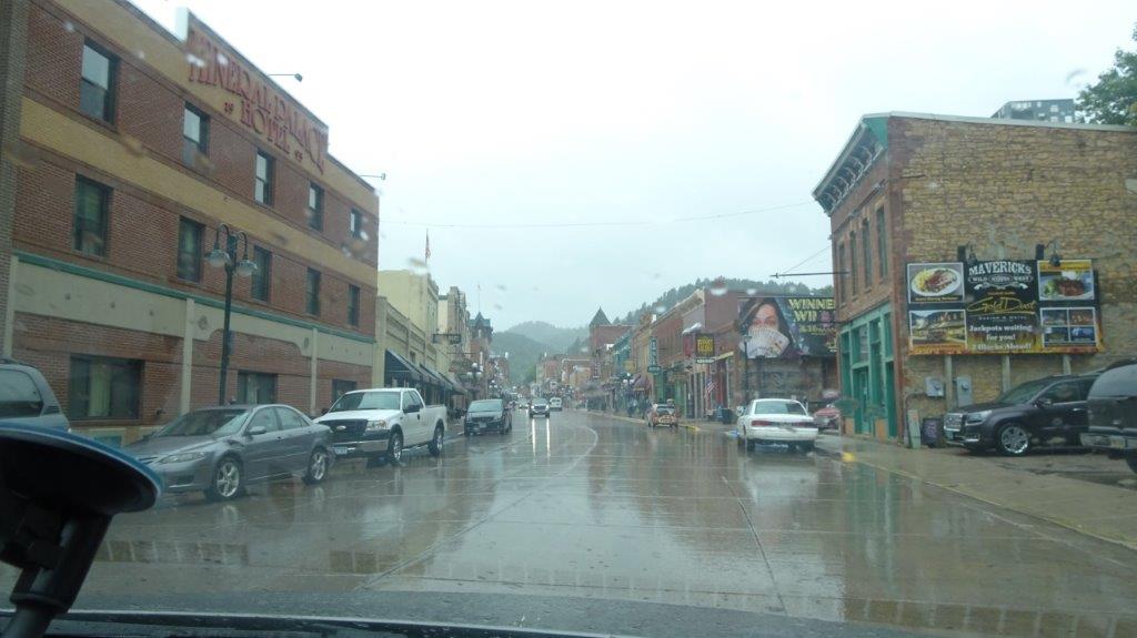
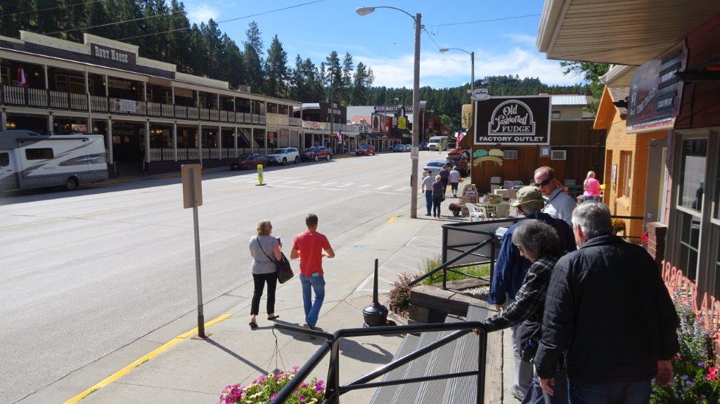 Keystone Main St.
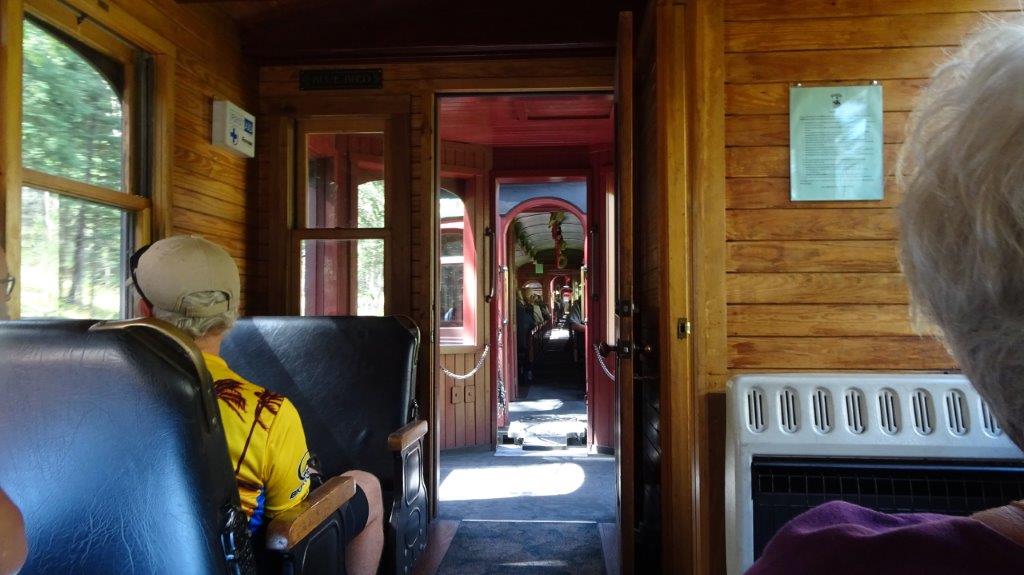 View Through the Carriages
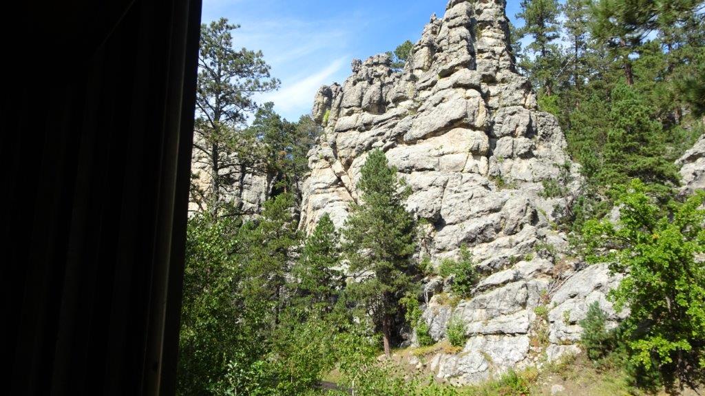 Rock Formations
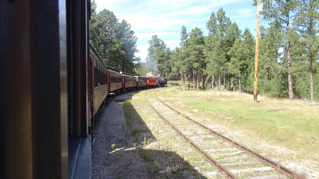 View of the Train
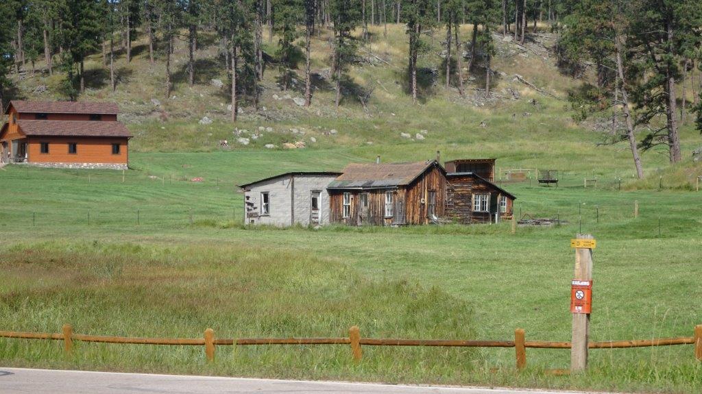
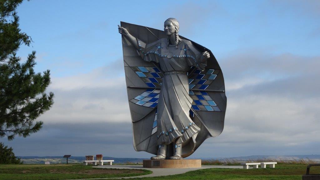 “Destiny”
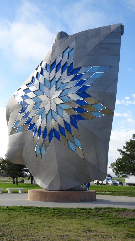 From the other side.
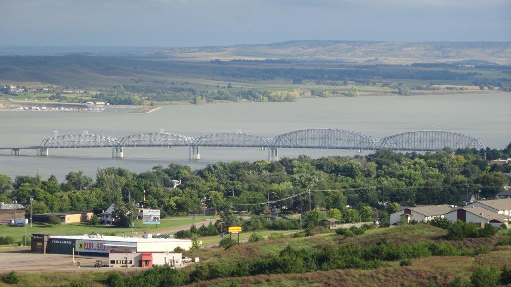 View of the Mississippi from the statue.
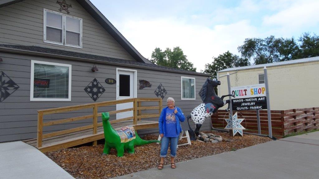 The Quilt Shop Chamberlain SD
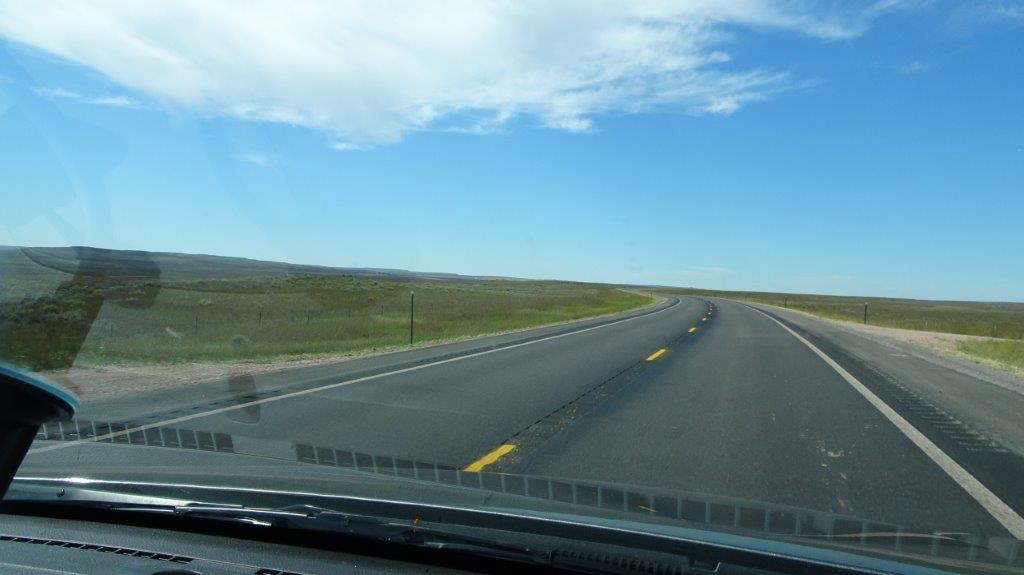
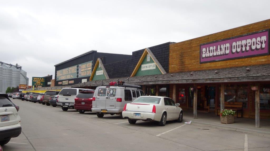
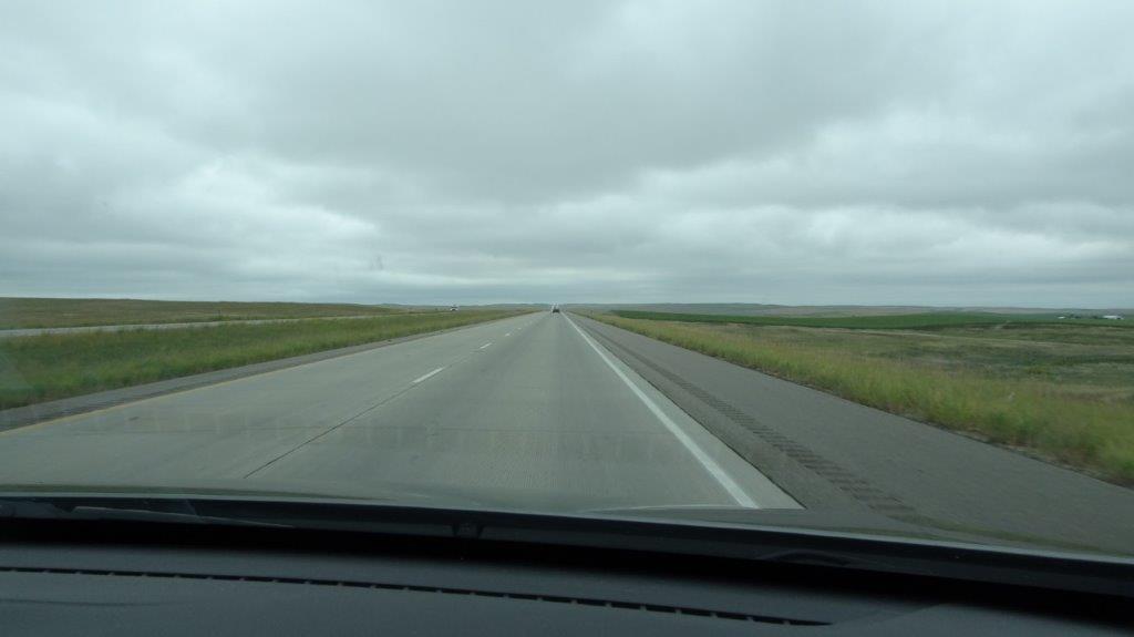 I-90
I-90 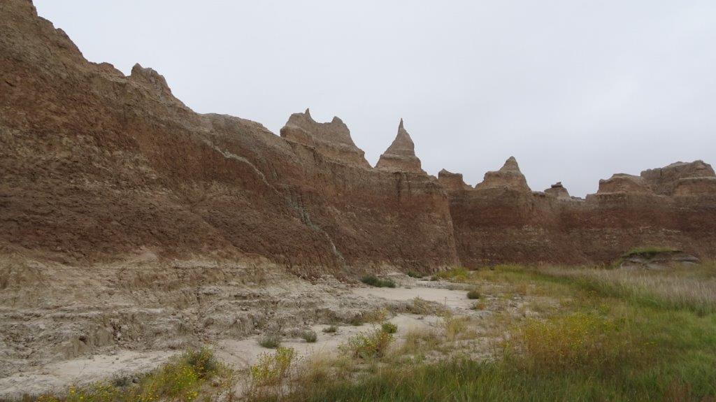
 No Kidding
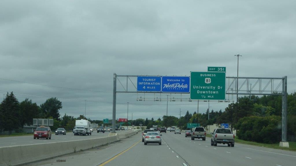 The Conquest of North Dakota
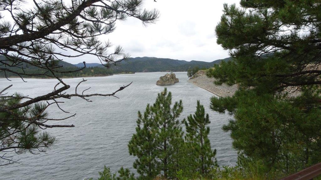
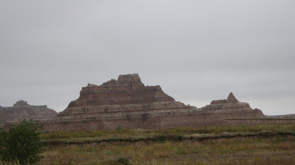
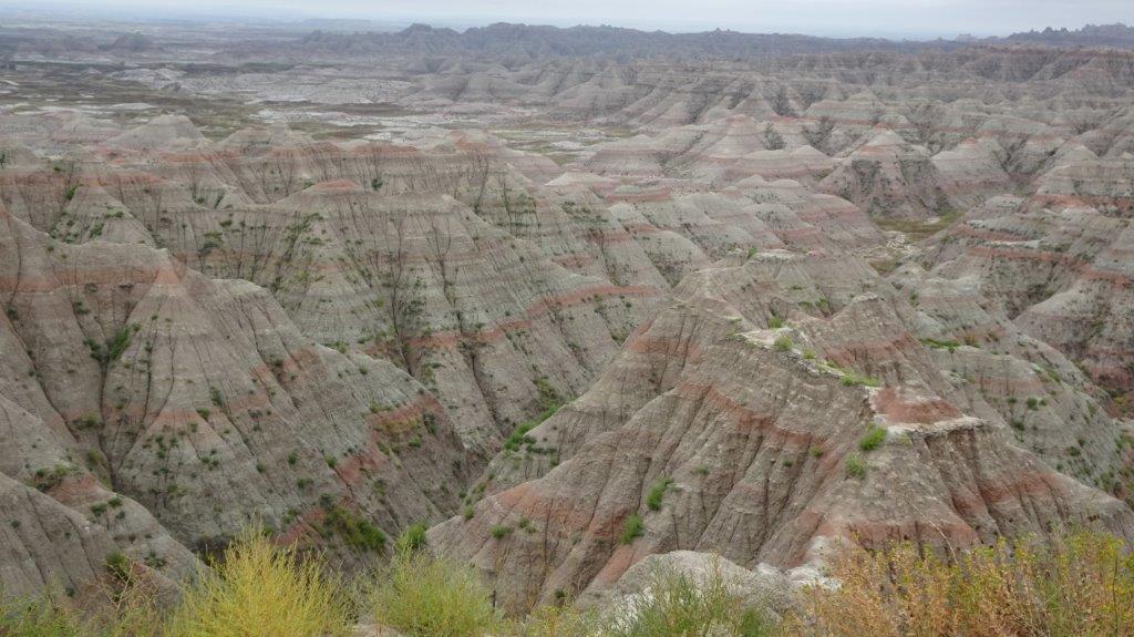
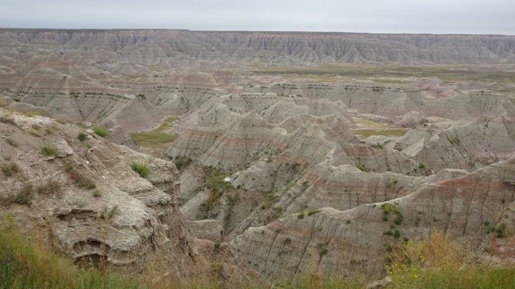
 Who Stole the Hills?
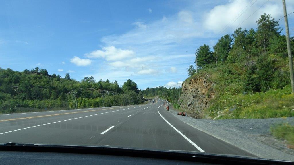 Typical of the Scenery in N. Ontario
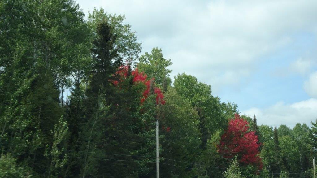 Red Leaves
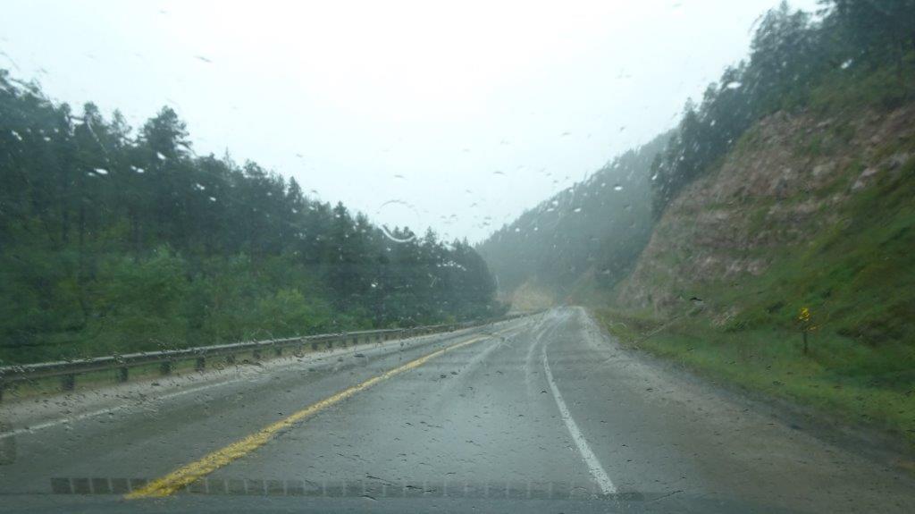
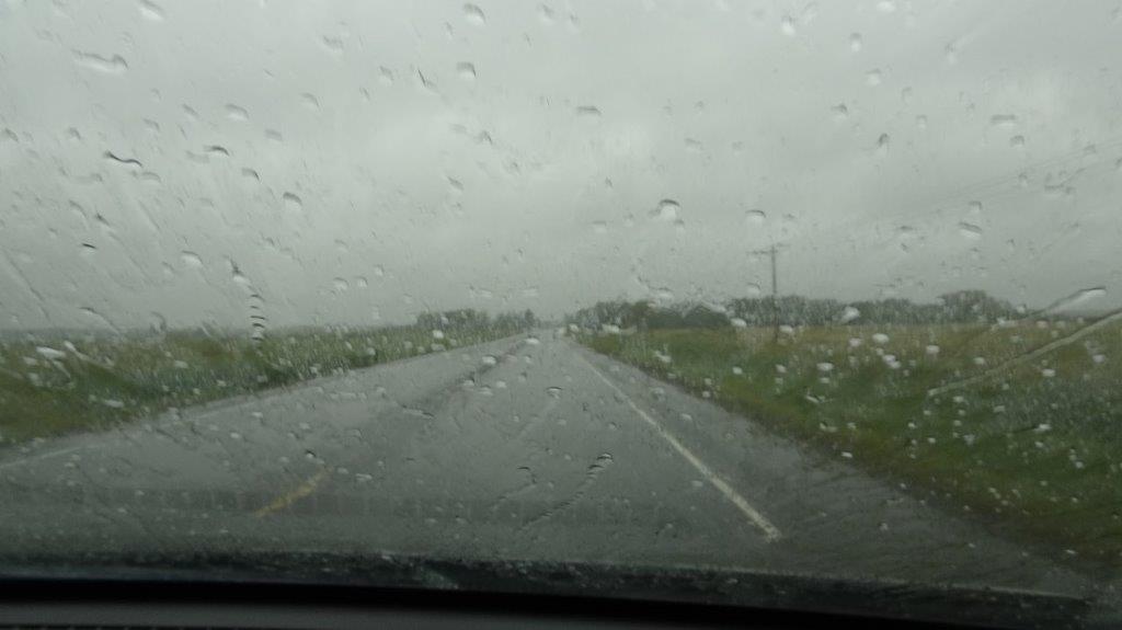 Rain!
Rain!