Another warm night, but again everything cooled down enough for a good nights sleep.
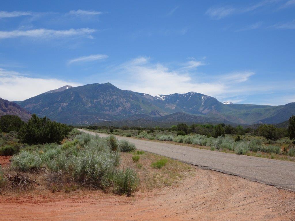
Today’s trip was a loop around the La Sal Mountains, the highest of which was over 12,000 ft, or 3 times the height of Ben Nevis in Scotland.
As we hit the start of the loop, I was a little discouraged to see that, according to the GPS, the road came to a dead end just a couple of miles in. In reality the road physically existed, the GPS just didn’t know about it! It may have been because we had just entered a National Forest, or it could have been that the road was in such bad shape that the GPS was embarrassed to show it. There were more pot-holes per mile than Ottawa roads (sorry Bryden).
We started to climb almost immediately, and by the highest point we were up at 8,325 ft. The good news up this high was that the outside air was only 24°C…. bliss! Lyn was living in fear of coming into contact with snow, but it was a few hundred feet above us.
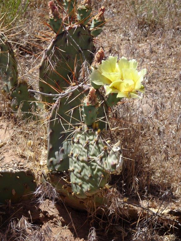
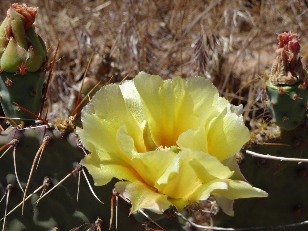
We saw an area of yellow flowers off the side of the road, they turned out to be flowering cacti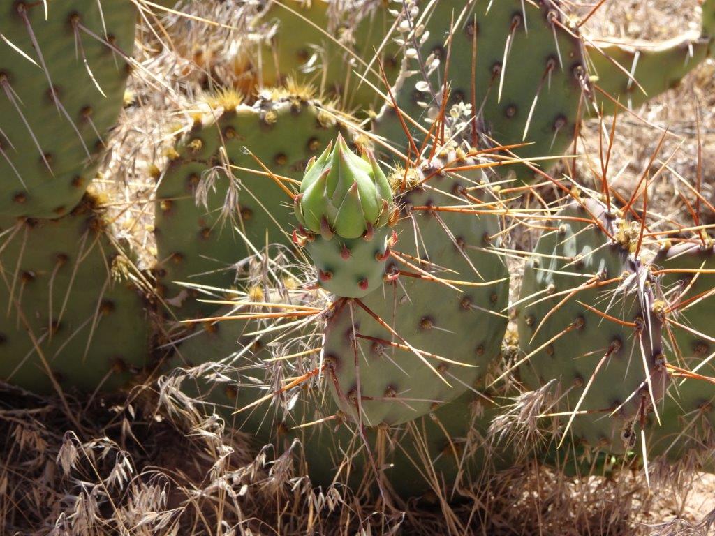 Cactus with a Bud
Again I am going to take the easy way out and inundate you with pictures, I have had no complaints, so it must be an OK way to go.
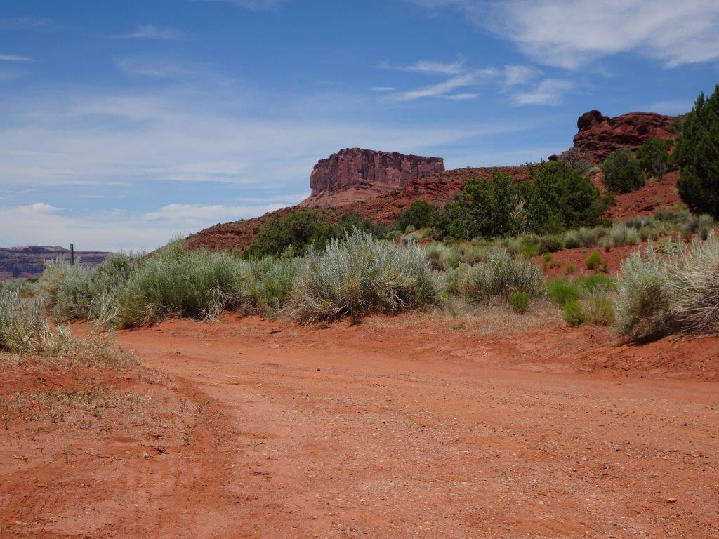
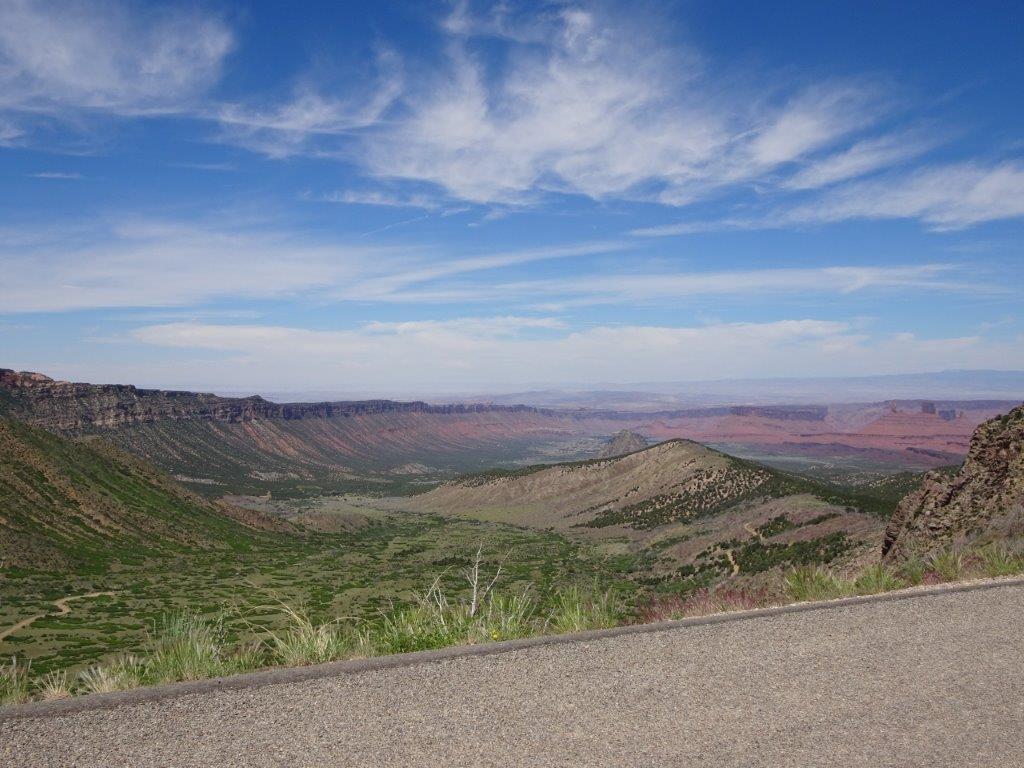
The group below are general vies as we drove around the loop.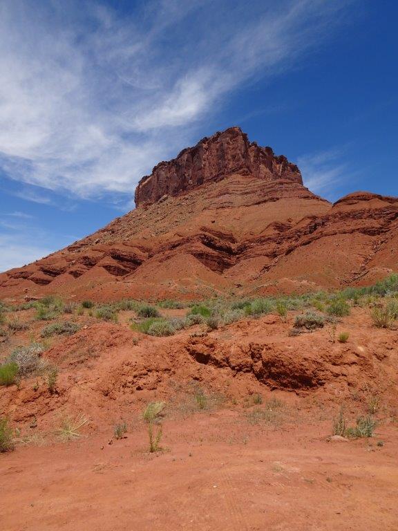
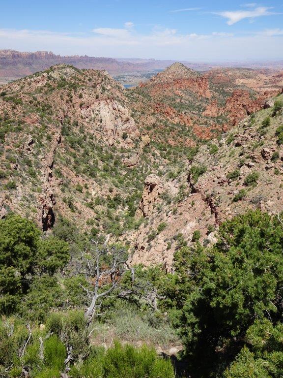
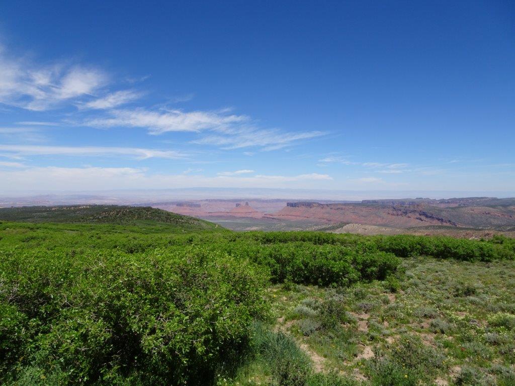
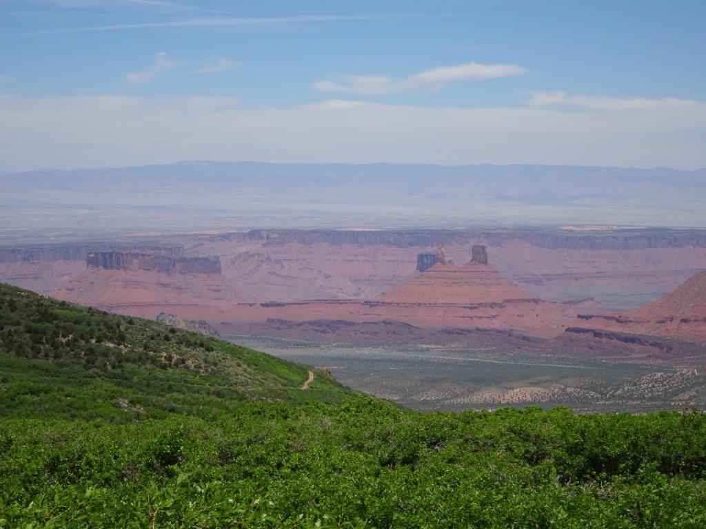
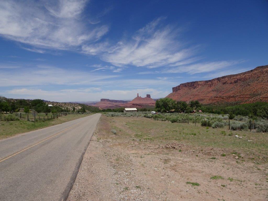
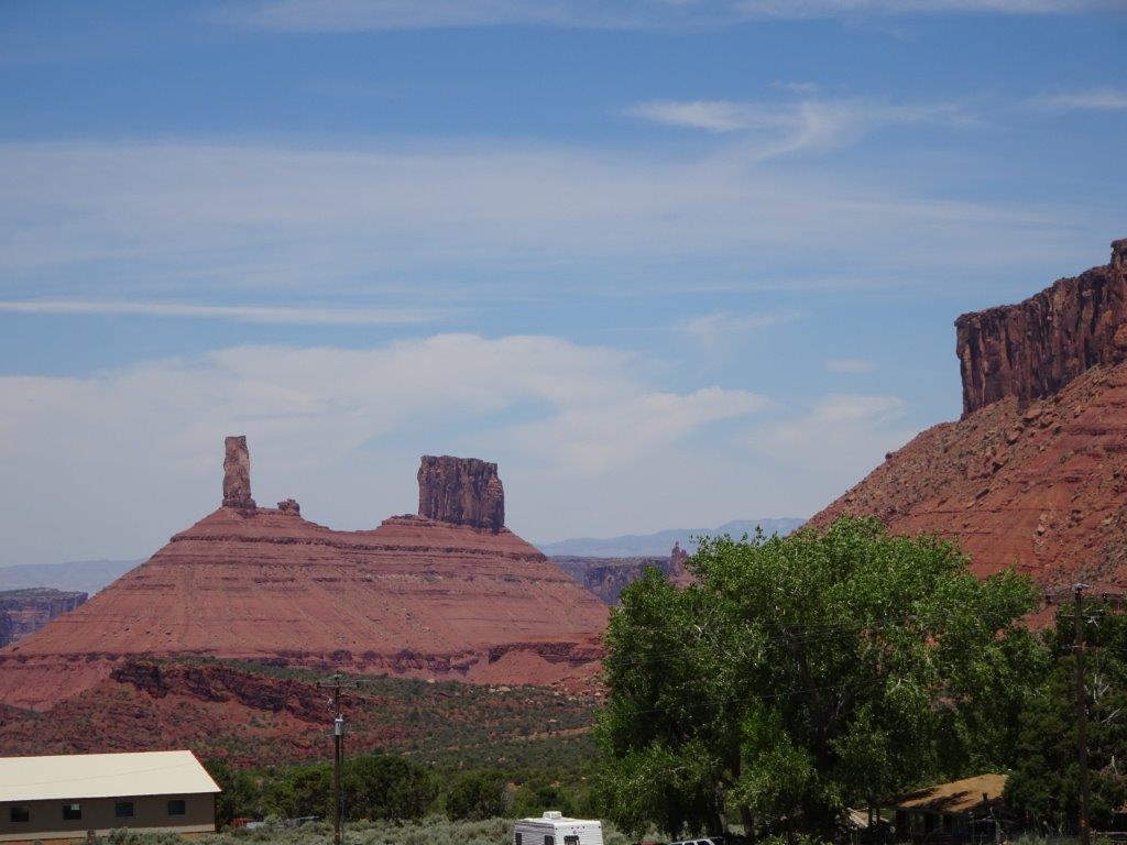
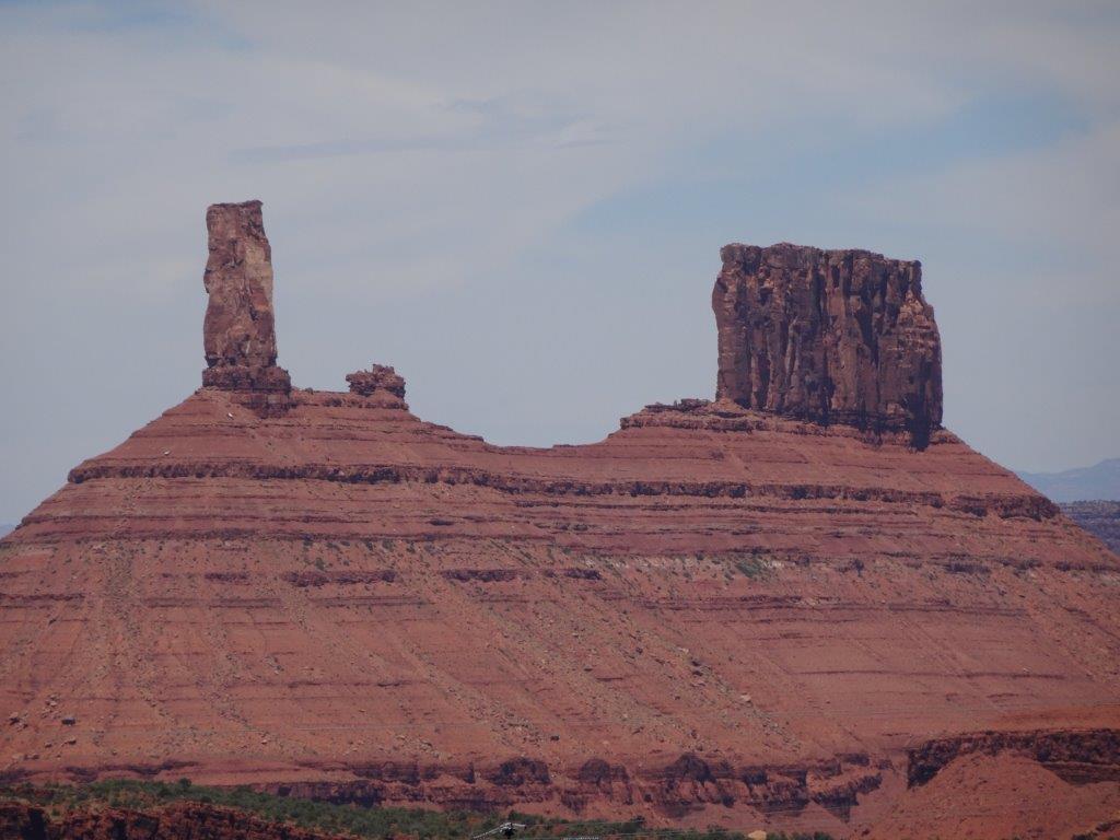
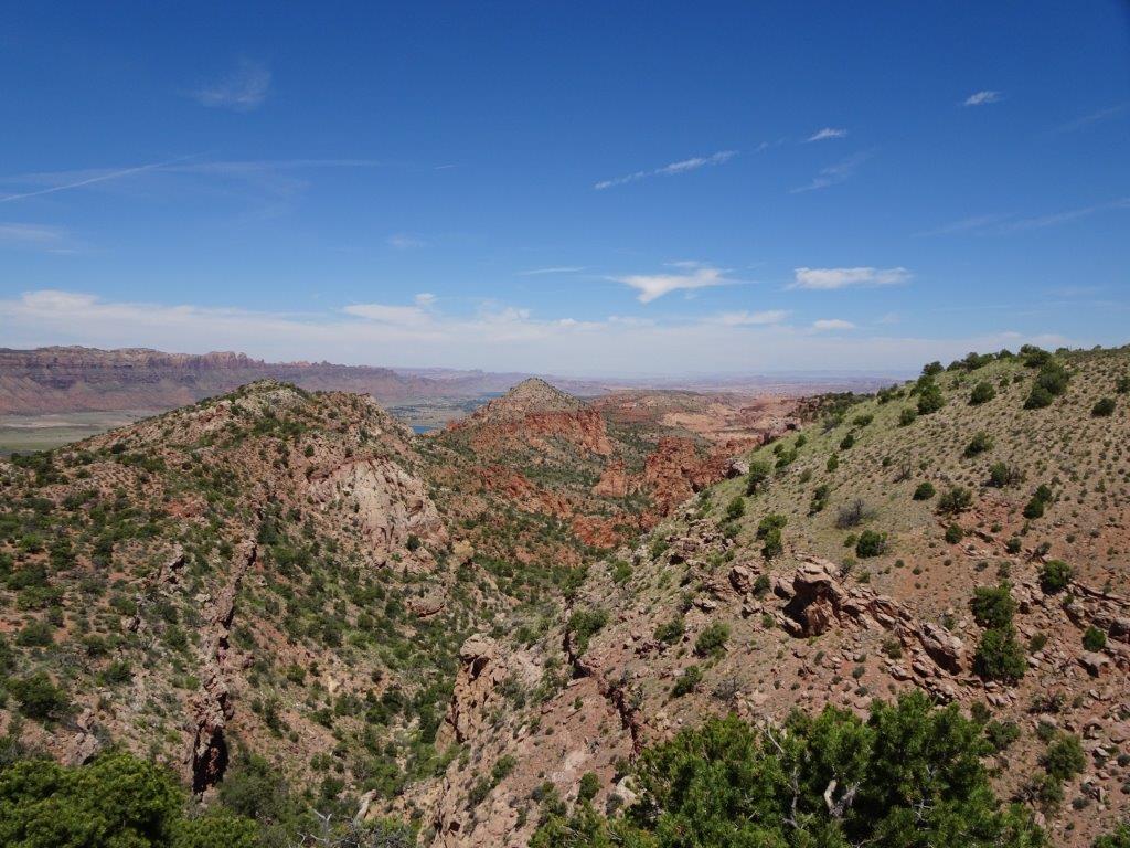
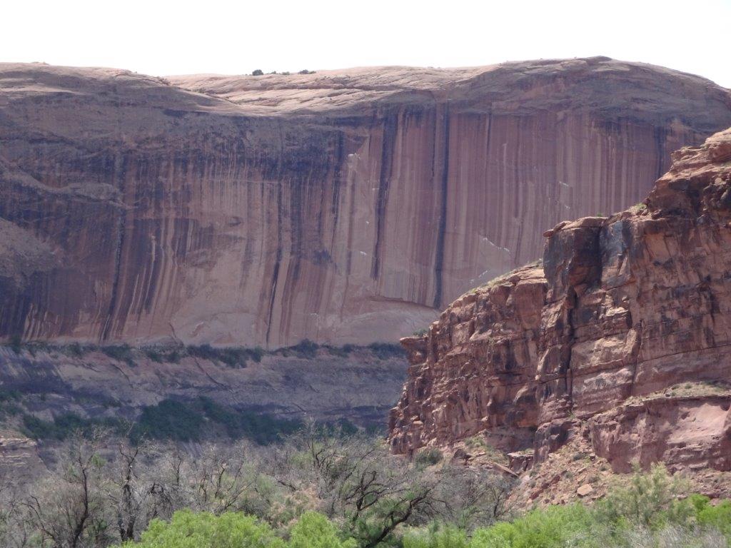
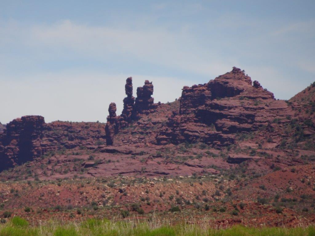
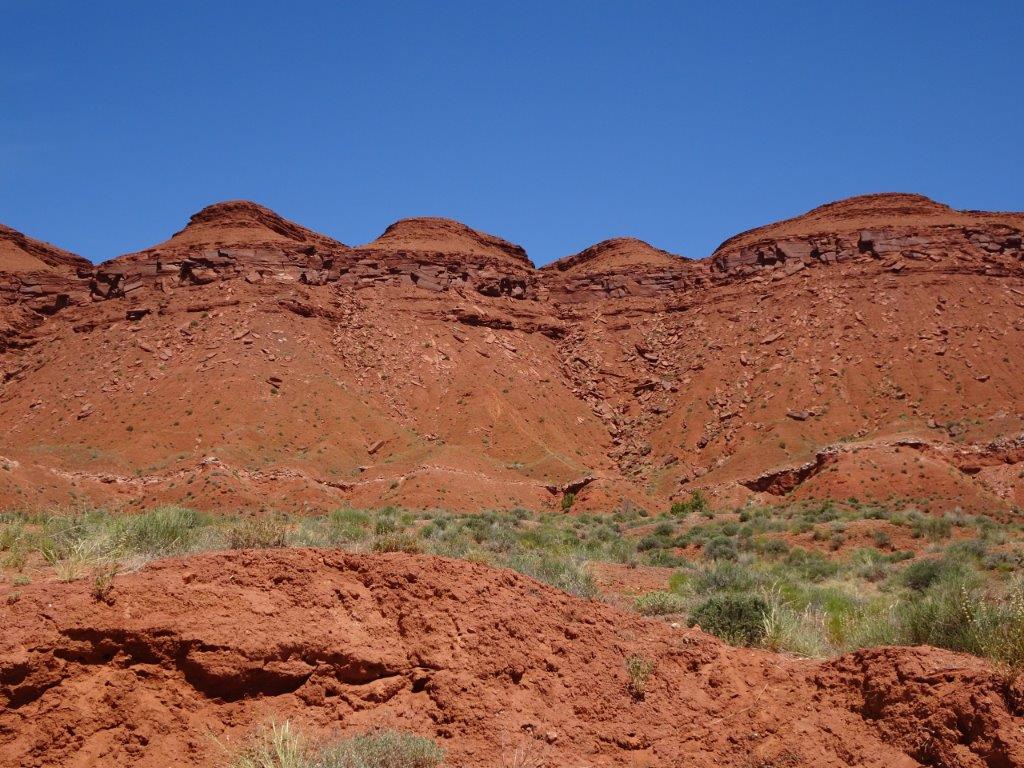
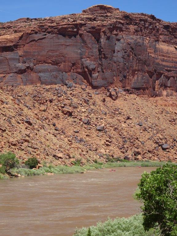
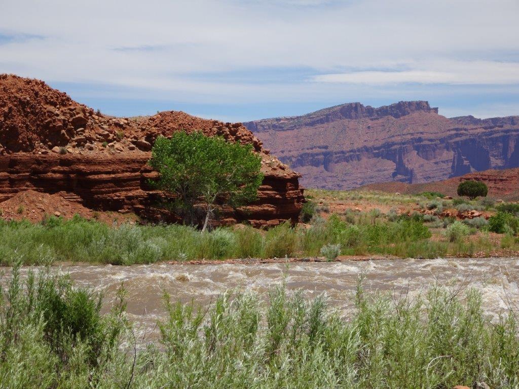
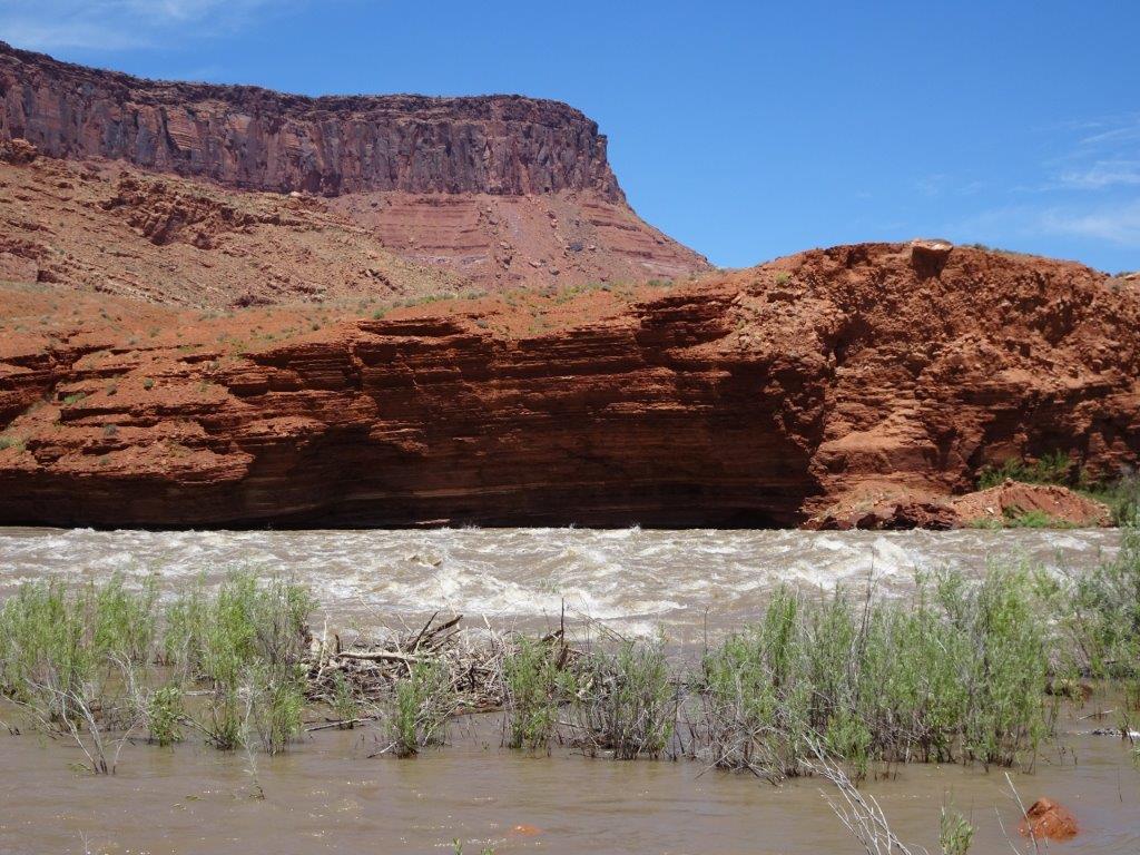
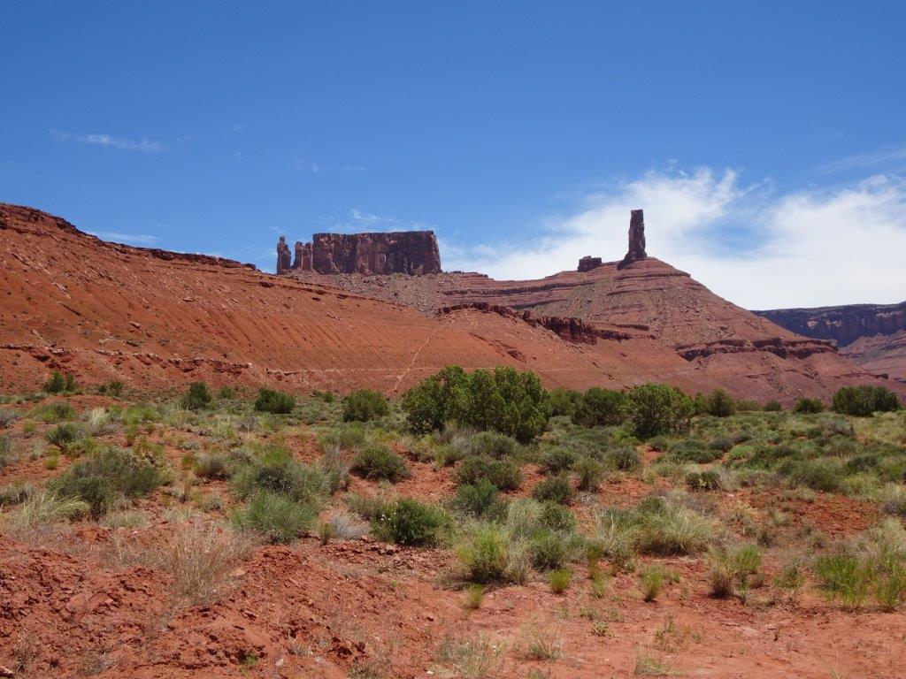 As in the Arches Park there were a number of the red stone rock formations.
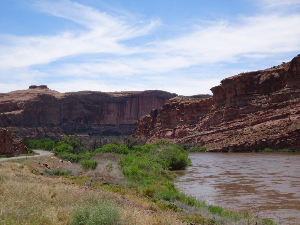
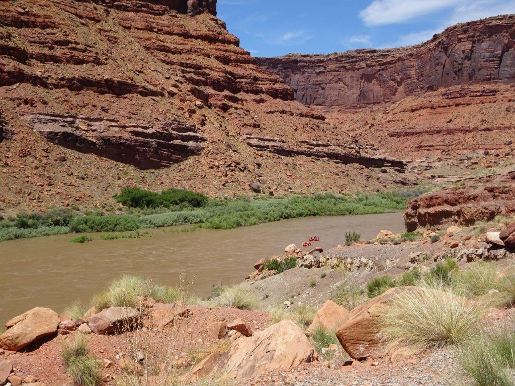
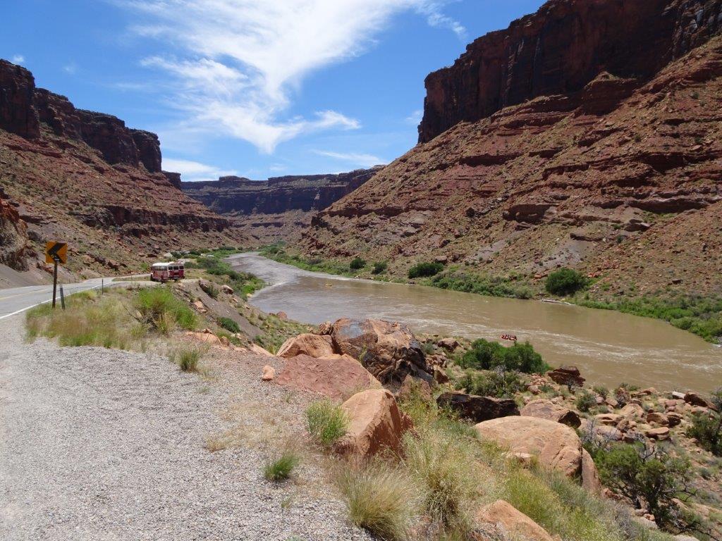
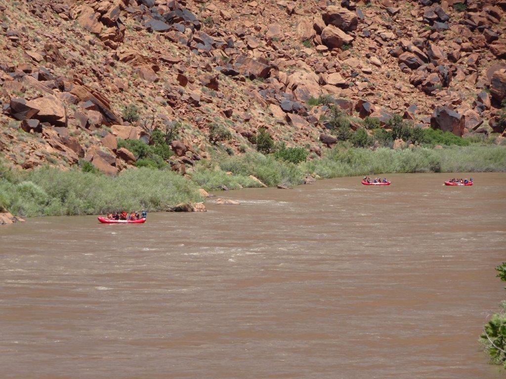
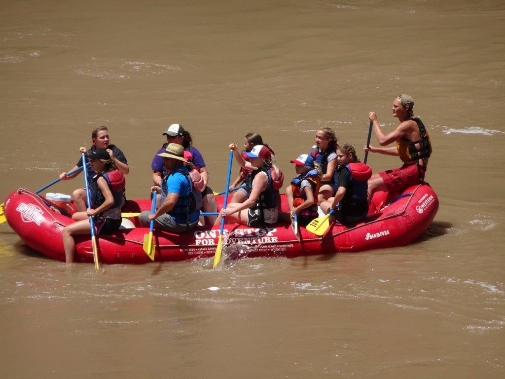
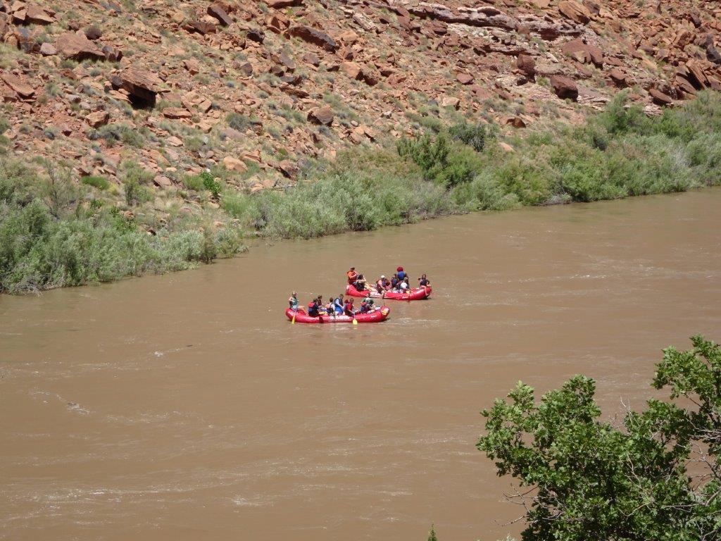
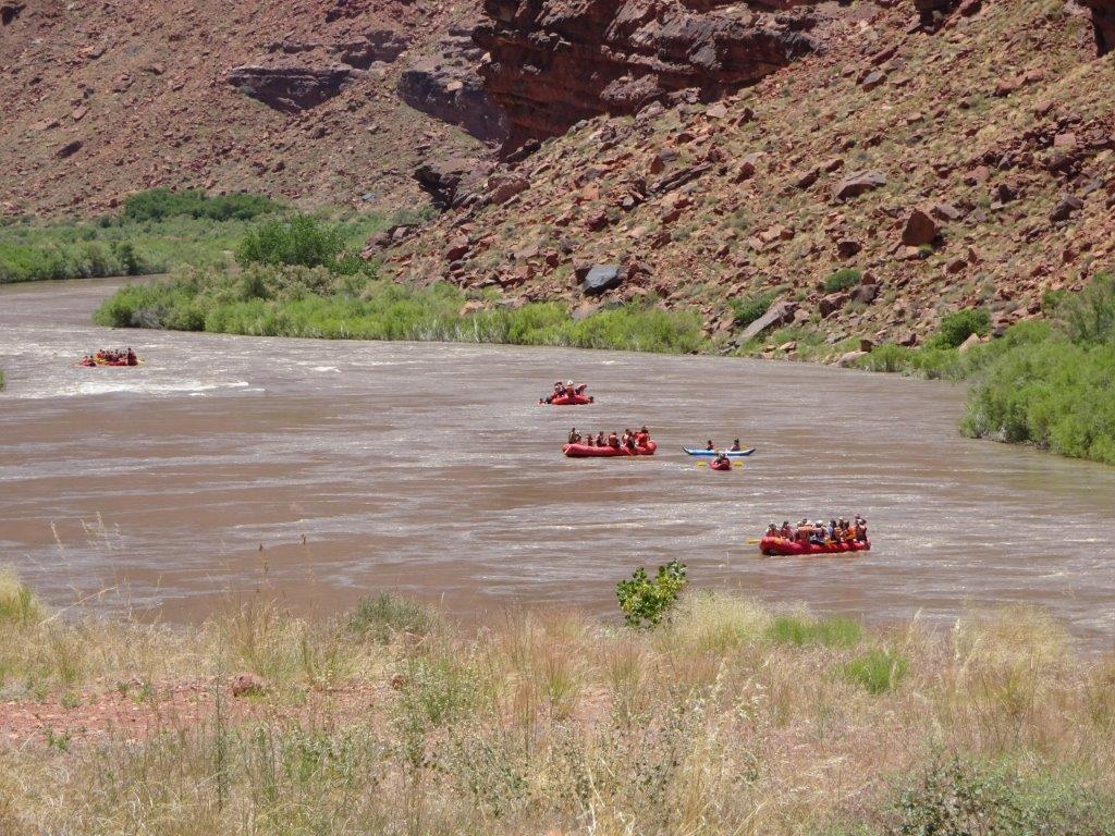
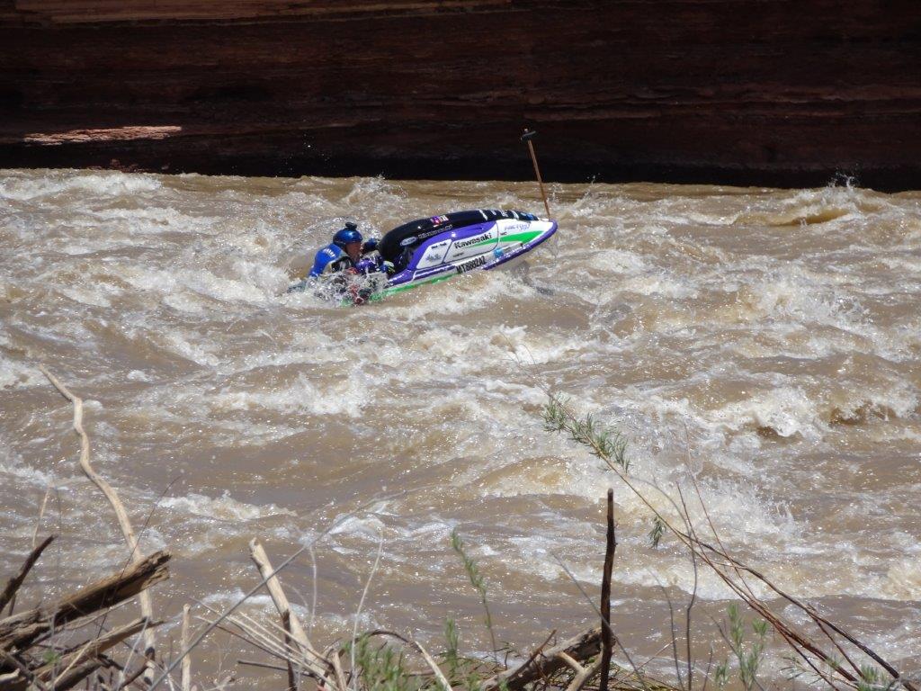
As we descended from the mountain we were heading down to the Colorado River. There was plenty of activity on the river with white water rafters. Much as we wanted to join them, we both figured we’d get fried to death with the current weather. Hopefully we will find somewhere in Colorado next week, where hopefully the temperatures will be a little cooler.
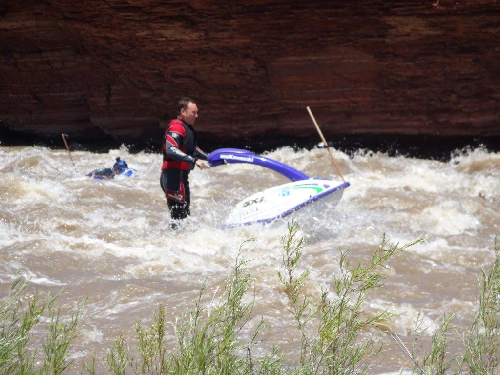
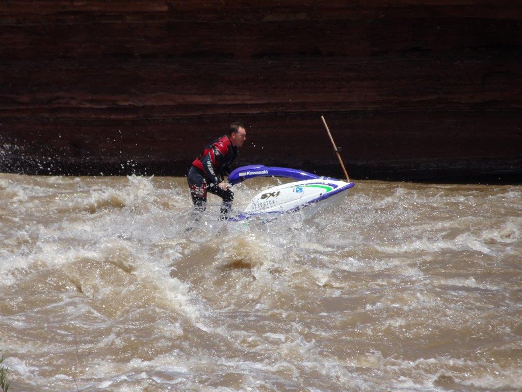
There was even a jet skier going against the rapids
Another day full of great scenery, tomorrow may be a little cooler, so we will probably hang around the camp site and do the weekly shopping

