Yet again the weather people got it wrong. After a foggy start the morning turned out to be sunny and warm.
After our previous mountaineering experience, we decided to try again. This time we checked the height of the mountain before setting out.
Our destination was Greylock Mountain in the NW corner of the state, a few miles south of the Vermont border. As we headed out westbound initially, the skies got darker to the west and I thought that maybe the weather man had got it right after all and we would get rain. As we turned northbound though the weather cleared again.
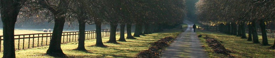
Yet again the scenery was great with wooded rolling hills, getting higher as we went north. Once off the freeway, and ignoring the fact the steering wheel was on the wrong side, many of the roads could have been English country roads.
We got to the base of the Greylock which was about 750ft ASL. There was a good road going up the mountain with a few switchbacks thrown in for good measure. We climbed to the summit at 3491ft, the truck handled it fine, but it did suck back the diesel! Unfortunately there was still some fog lingering around, so the views were not as good as we had expected. This was the highest point in the state.
We left the mountain and went in search of Natural Bridge State Park. On the way there we kept seeing signs for Highway 2 detours, which was a little off putting as the next part of the journey was a scenic trip along the Mohawk Way, aka Highway 2. Anyway, we found the park, but the road into it was closed, so we parked at the bottom and started to walk up. We met a Park employee who told us that the road had been washed out following hurricane Irene a few weeks ago, but we could still walk up to the Natural Bridge.
The area is full of marble and was the site of a marble works until 1947, when it burnt down. The Natural Bridge is a bridge formation caused by the water eroding the marble from the bottom. The falls the water flows over before the bridge are shown below.

Waterfall at Natural Bridge State Park MA
After we left the park we went into the town of Adams in search of a Tourist Info so that we could get some information on the Highway 2 detour. It turns out that Irene had been busy that day, and there were numerous washouts on the highway, causing it to be closed. The Tourist office were well prepared with sheets detailing an alternate route. Next stop was the glacial potholes at Shelburne Falls. The potholes which, you should be able to see in the next picture, were formed at the end of the last ice age by pebbles being caught in a water vortex and wearing away the rock.

Pot Holes, Shelburne Falls MA
We continued along the Mohawk trail, which was scenic, but really no better than we had seen earlier. Perhaps the more scenic part was missed by the detour.
We decided to head home via the back roads rather than the freeway, only to discover a quilt shop along the way……… coincidence???