We woke up to yet another perfect day, 20°C and clear skies. The campground has filled up a bit for the weekend, but it is still nice and quiet!
After breakfast it was time to head out for some more exploring. Yesterday it was craters, today it will be The Magic Valley. I haven’t been able to find out the reason behind the name, I guess someone somewhere knows, but they’re not telling!
We set off after breakfast complete with packed lunch, it’s not too easy to find eating places out here.
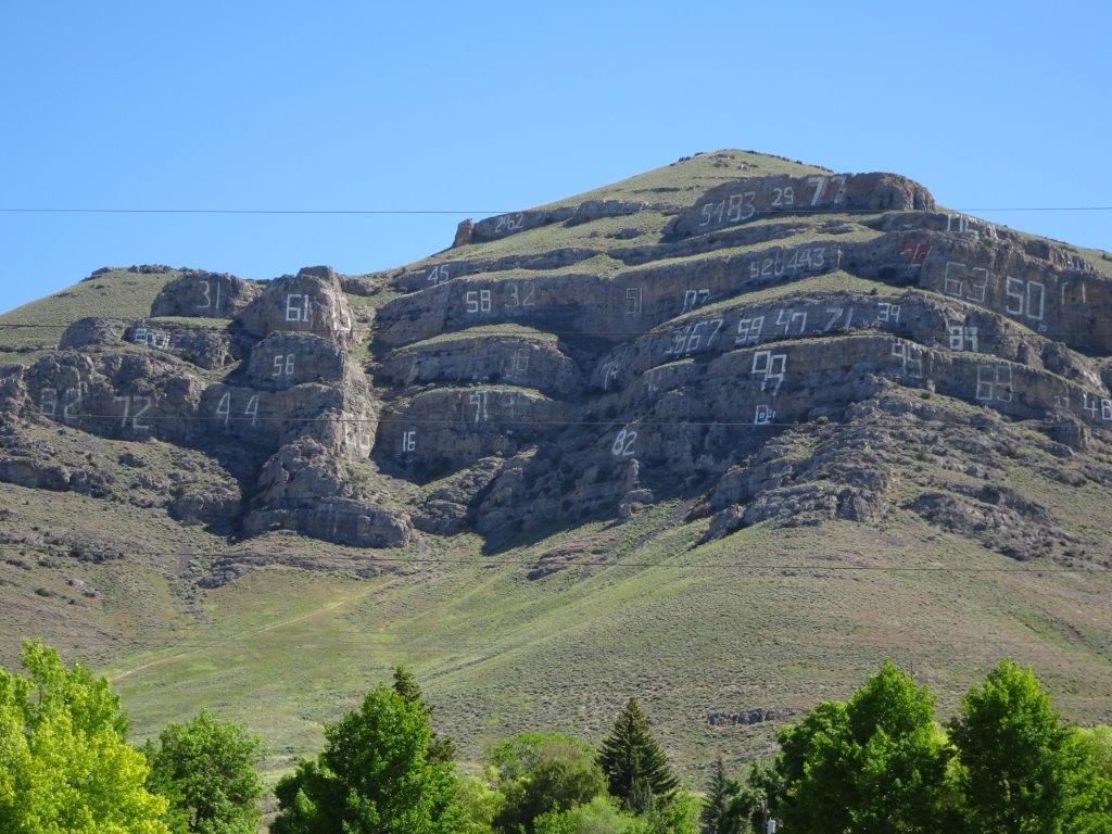
We’ve noticed in many parts of the States that the towns initial is displayed on a hill close by; Arco has gone one, or several, better, the high school graduating class over the last few decades have carved out their graduating year.
The first stop was the MacKay reservoir.
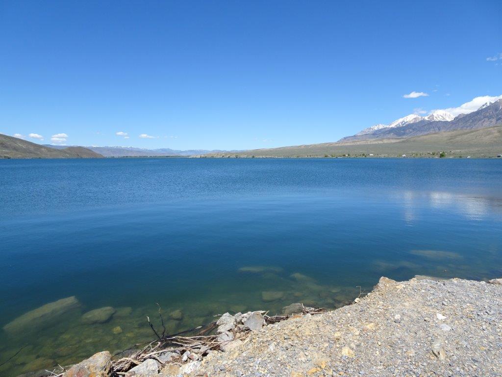
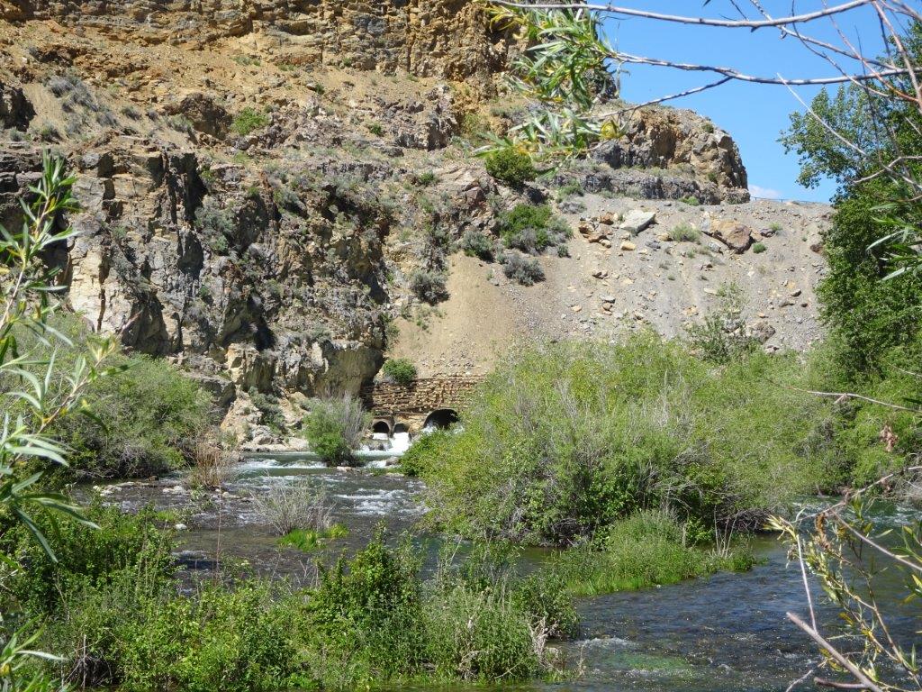
There was a dam associated with the reservoir, together with a small hydro generating station, what was a little unusual was the dam appeared to be a natural one with the water exiting via man made tunnels, as shown in the above two pictures.
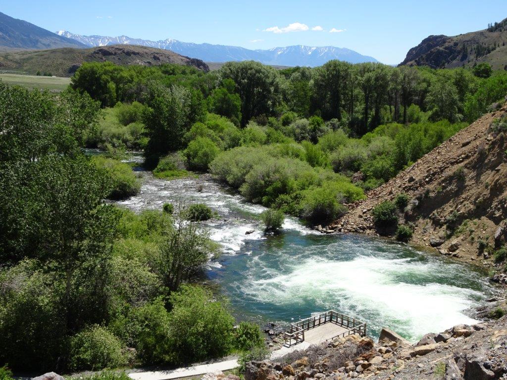
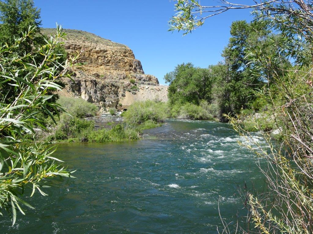
Looking down on the outflow.
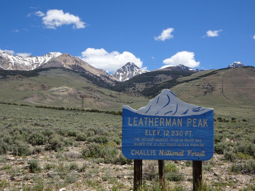
Moving on from the dam we stopped for our first cache of the day at Leatherman Peak, this is Idaho’s second highest mountain, the highest is a few miles down the toad and about 400 ft higher
Further along the road Lyn spotted a solitary deer, this was different to previous ones we had seen. In particular it was much smaller.
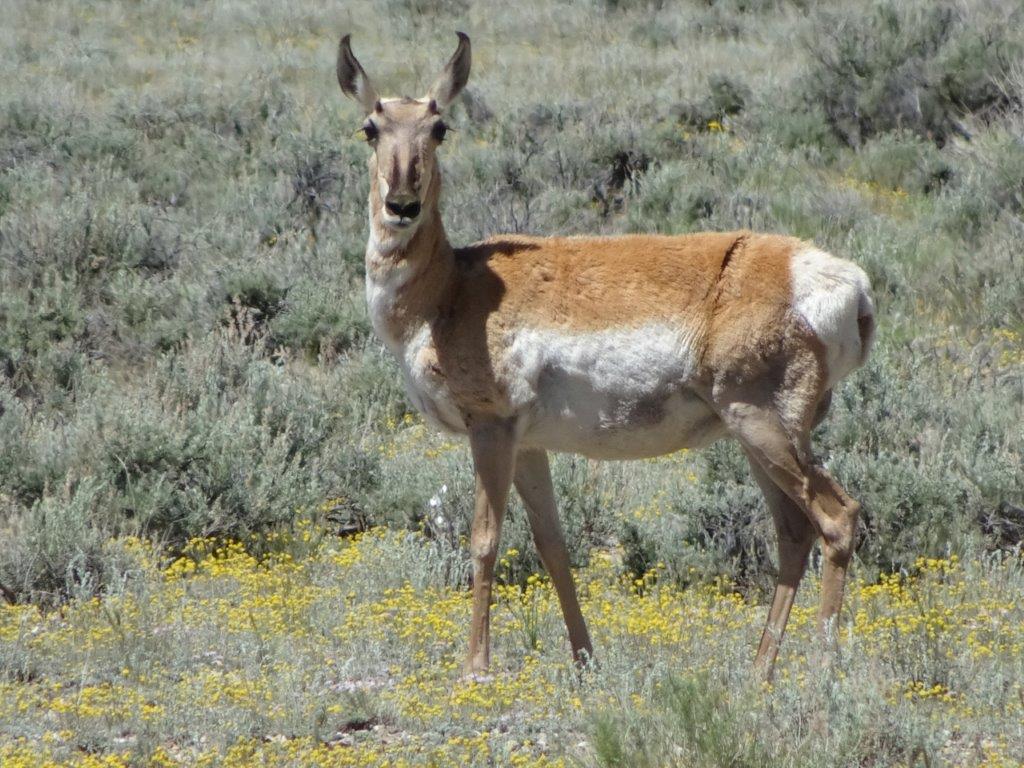
This was a pronghorn deer, unfortunately this one had no horns. We saw one later on with horns but couldn’t stop in time to take a picture. There is indeed a prong at the top of the horn.
Below is Mt Bhora, 12,662 ft tall.
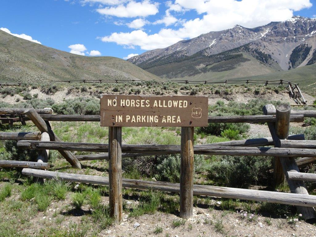
Next we headed a few miles up a gravel road to the site of a recent (1985) 7.3 magnitude earthquake. After the Walmart parking lot picture a few weeks ago, I figured I’d post the opposite rule here.
Below is a picture of the area where the ‘quake took place, the land here dropped 7.5 ft as a result.
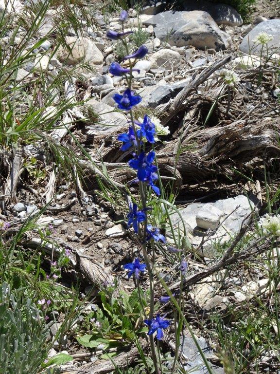
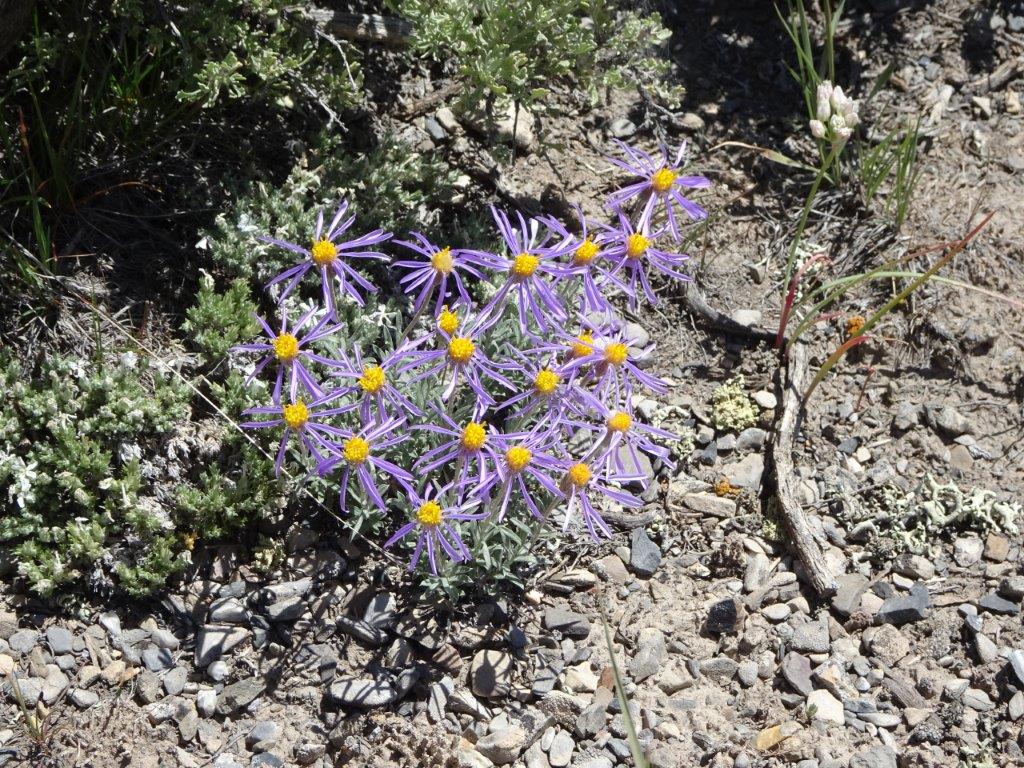
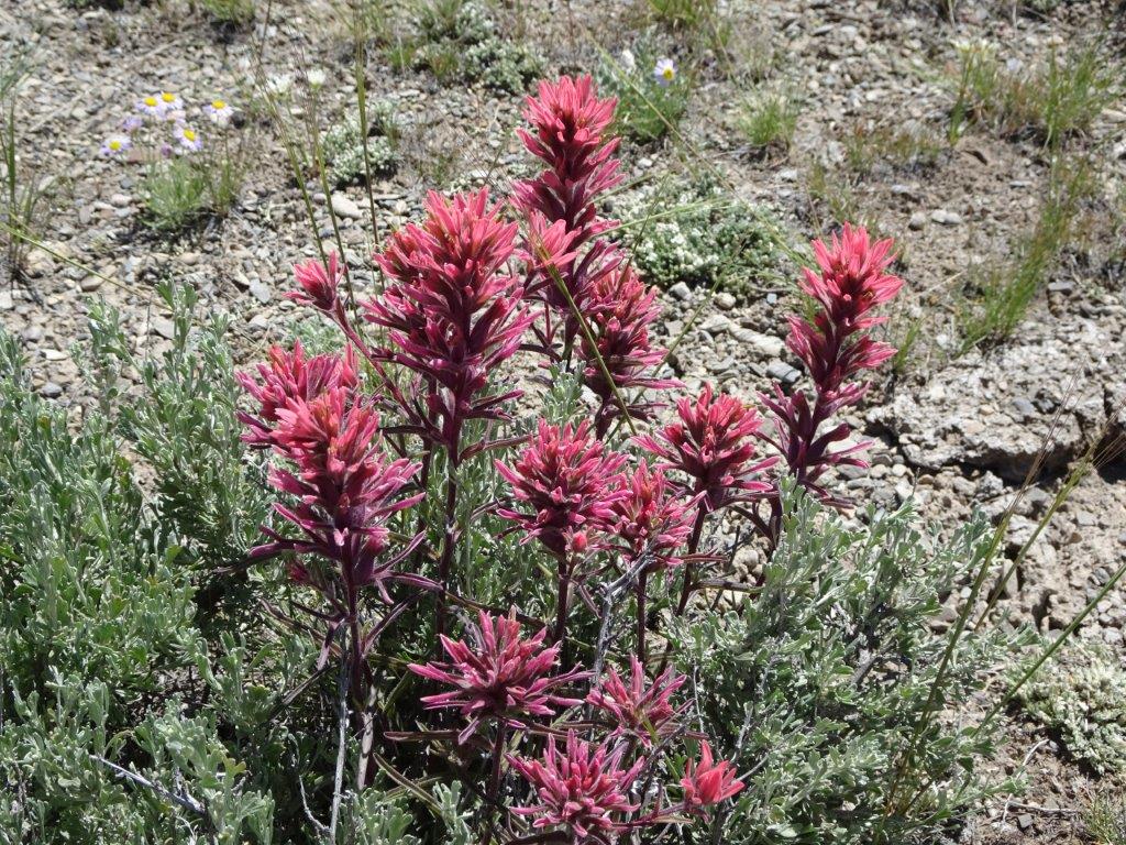
Around the area we found a few more species of flowers
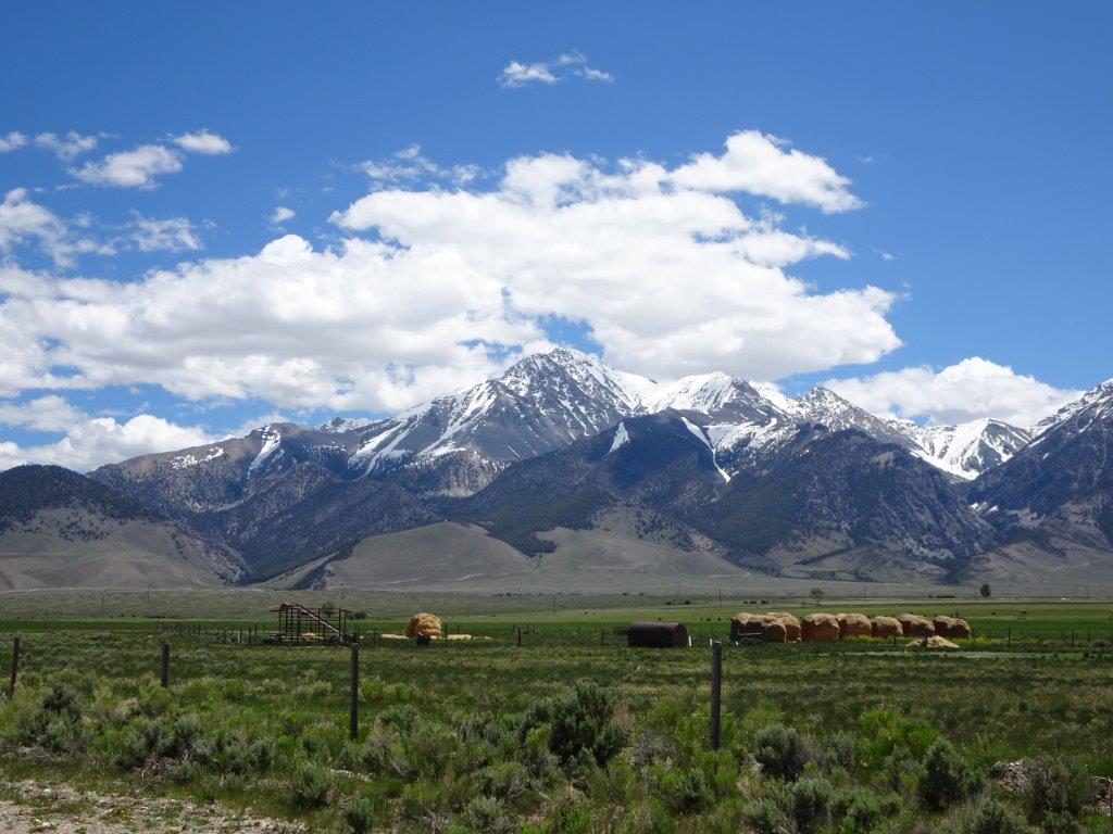
Next stop lunch, with the obligatory lunchtime view.
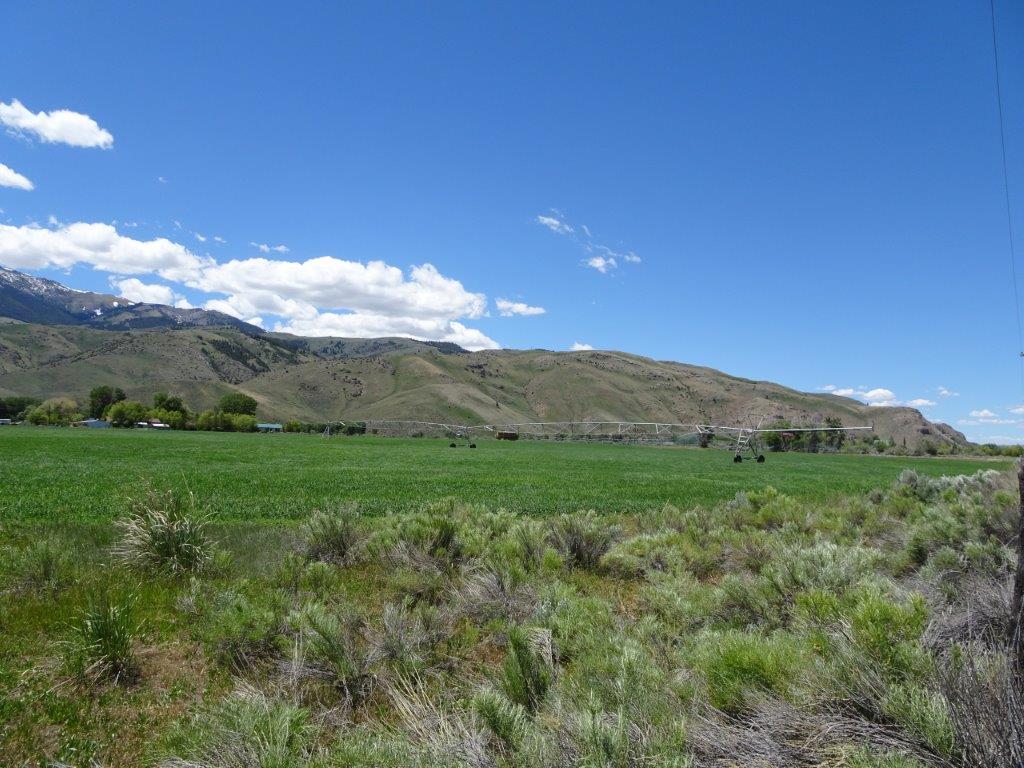
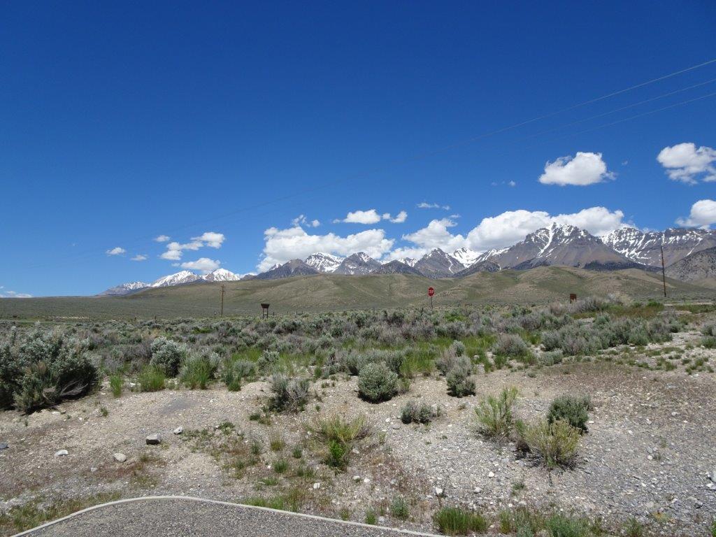 The valley was a mixture of land types, some areas were not cultivated at all, but consisted mostly of sage brush, you can see some in the lunch view picture above. They are the individual little bushes.
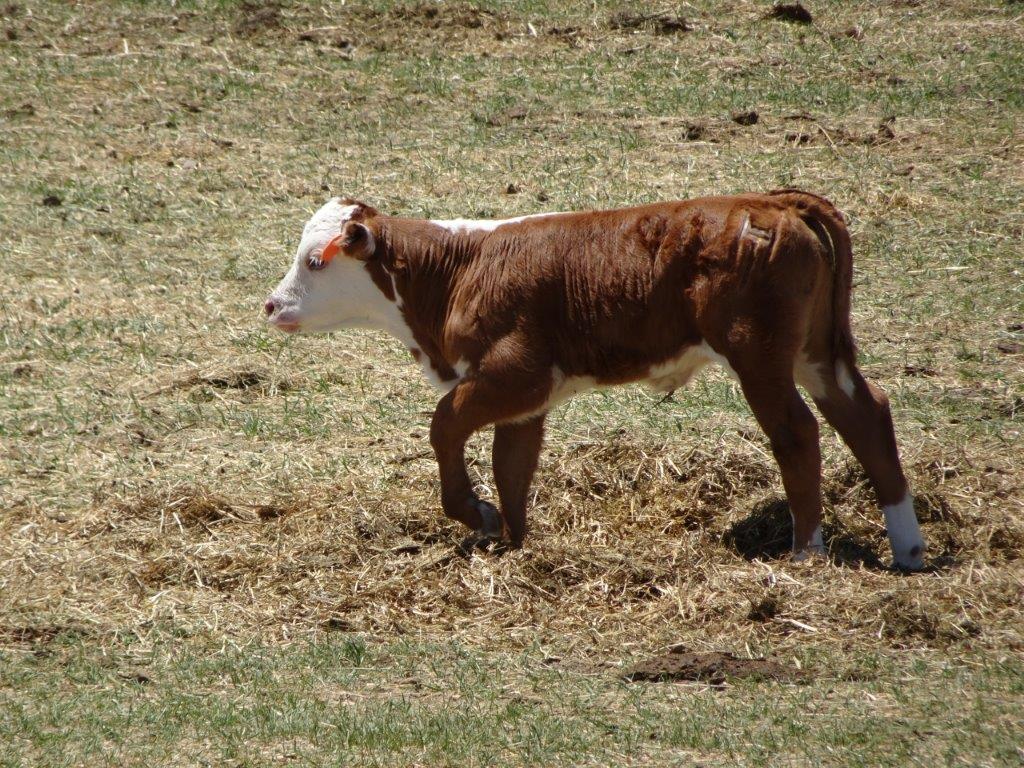
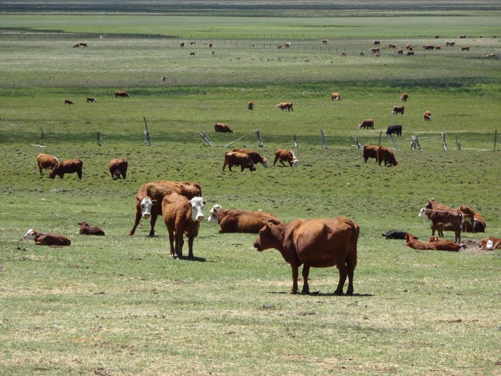
Other areas were given over to growing animal feed and other crops. There were also a number of horses in fields, and numerous cattle farms. There were a number of calves in the fields as well.
One thing I noticed many years ago when I frequently flew to LAX was the huge number of green and golden circles on the land below. I hadn’t really given them much thought until recently. They are fields of crops defined by the area that is watered. No water, no crops. The watering is done by long pipes mounted on wheels that rotate about a pipe supplying the water.
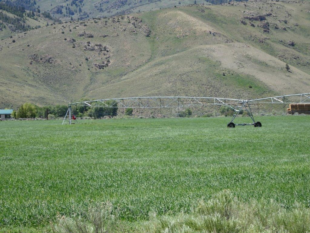
 The system above only has two sections, in the larger fields they were 15 sections long!
After last nights calorie loaded dinner, its back to a simple BBQ and salad. Now the weather has picked up we can eat outside. Life is good!