Another comfortable nights rest, I think I’ve got the A/C under control finally. After experimenting with opening and closing various vents the whole trailer cools to the same temperature. When we first started the sleeping area was about 10°C hotter than the living area! Conversely to get a decent sleeping temperature the living area was down at 18°C.
After breakfast Lyn made up a lunch and we headed out to Dead Horse Point, in Dead Horse State Park. Why was it called Dead Horse Point?? Well a couple of centuries back, a group of cowboys discovered the point of land on a cliff which was 2-3 miles long, with a narrow part that was only about 30 yds wide. Across this narrow part they could make a fence to corral the horses in. So being good little cowboys they got a whole load of horses in the corral from the surrounding area and then went off to round up some more. Water wasn’t a problem as the Colorado River was only about 2000 ft away. Unfortunately that 2000 ft was measured vertically over the cliff face. When the cowboys got back, the horses were dead.
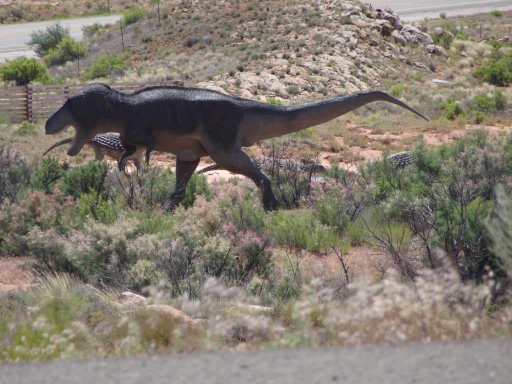
As we left the main road to head off to the State Park, I caught a movement in my peripheral vision, there was a large animal in the field.
I know it feels like we have traveled back in time now we are in Utah, but this was ridiculous.
OK it was a dinosaur museum!
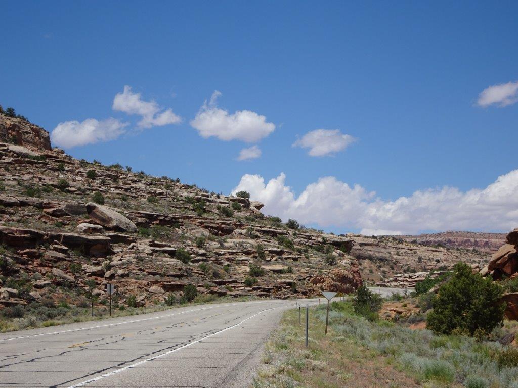
The road to the Park was home to a few geo-caches, so naturally we (I, Lyn had little option being in the passenger seat) stopped to hunt for them.
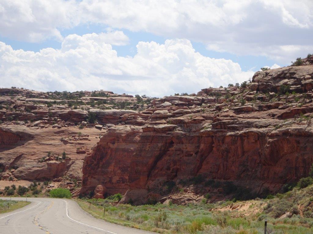
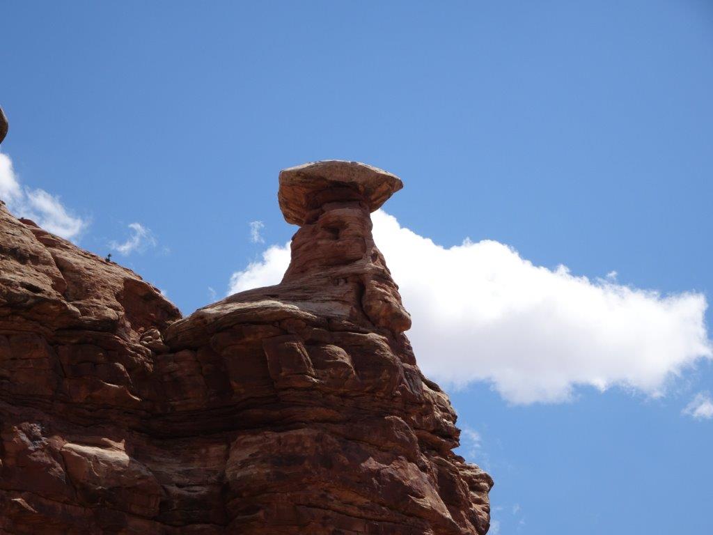
Again, this will be more pictures than words, as I am sure the pictures are more interesting than my ramblings.
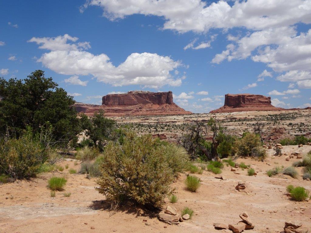
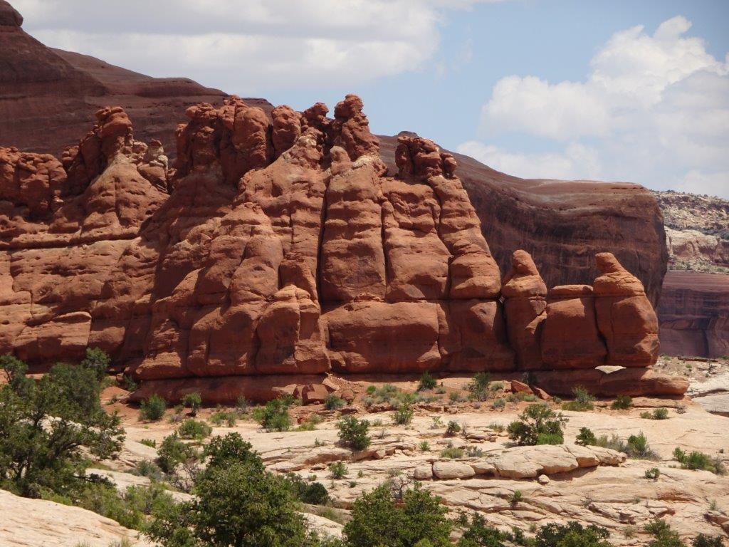
Above are two buttes named Monitor and Merrimac. They were named for two iron clad warships from back in the days of the Civil War.
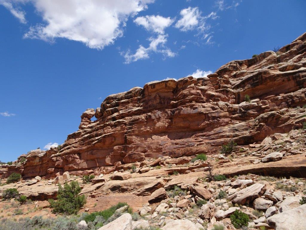
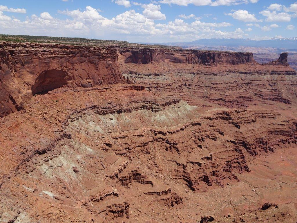
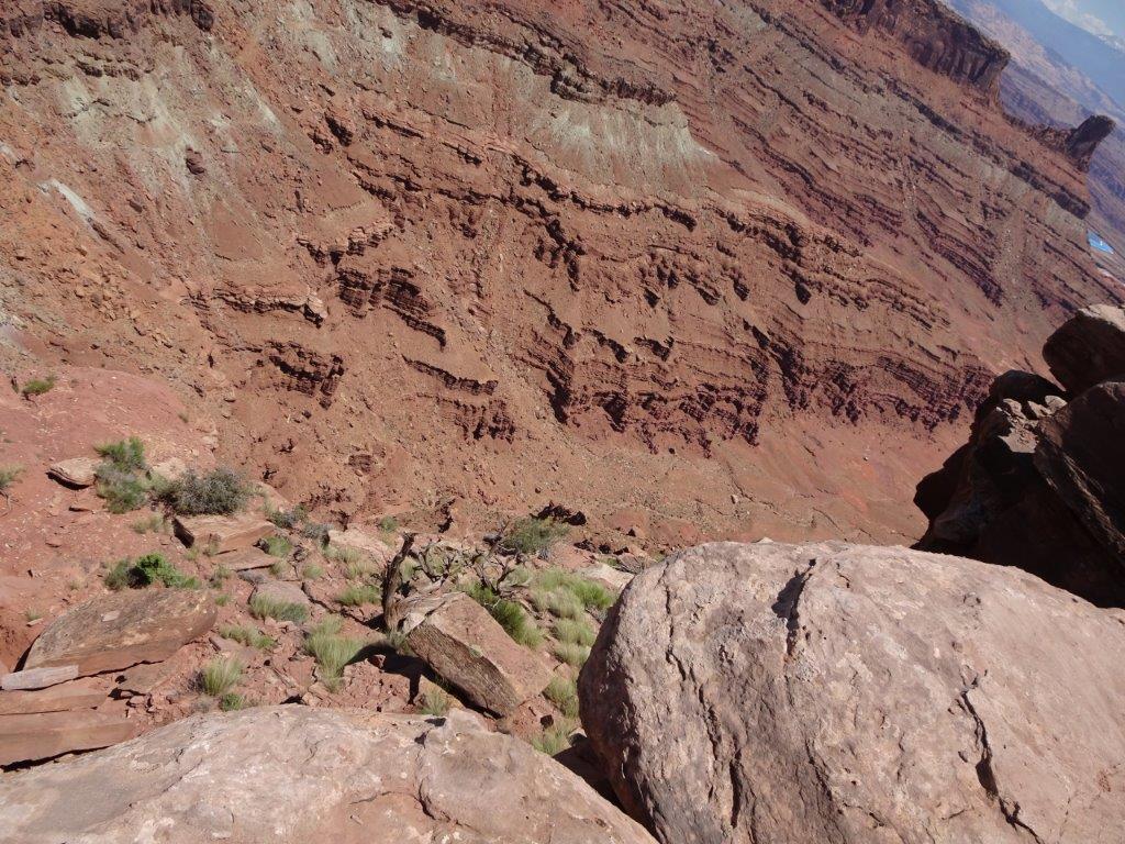
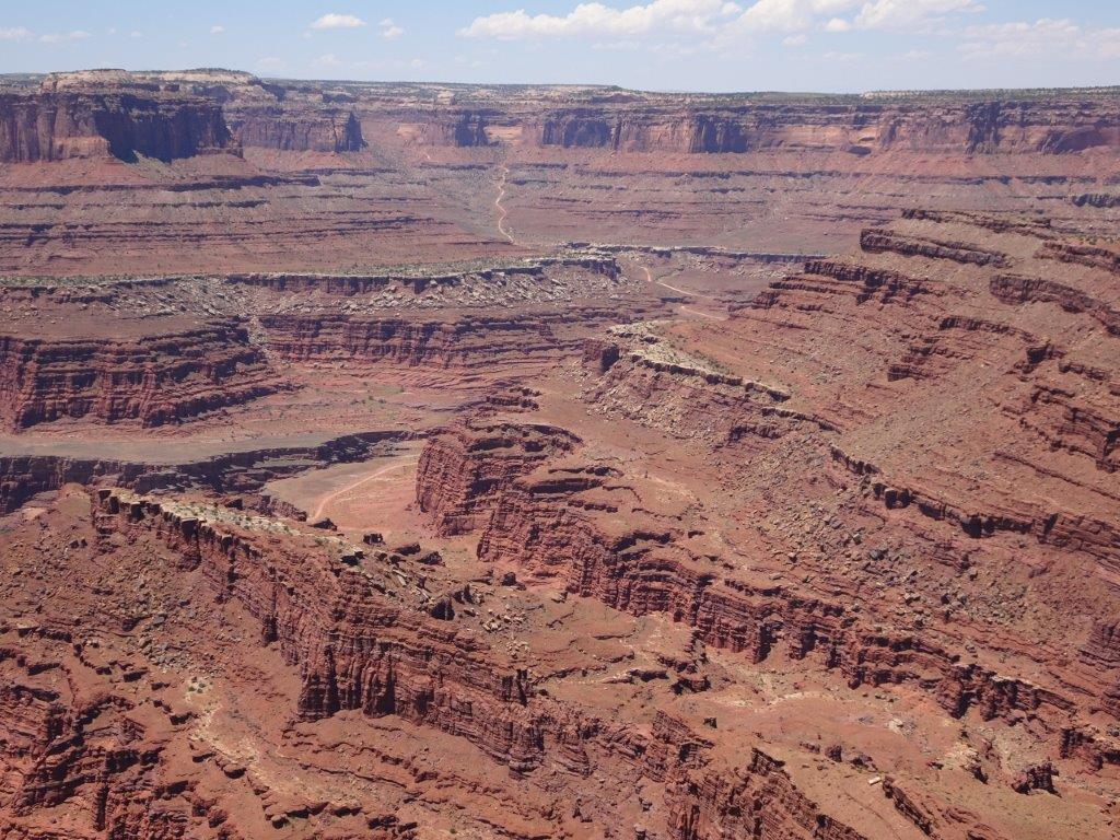
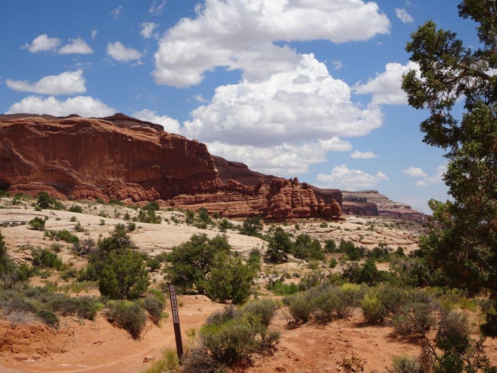
Below are general views
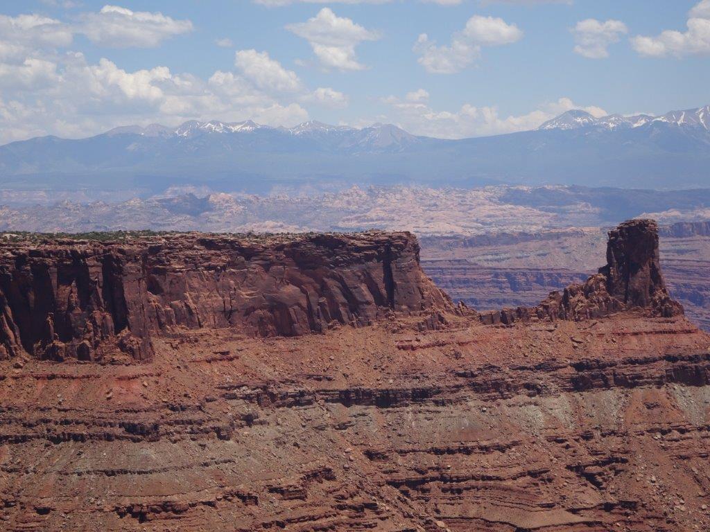
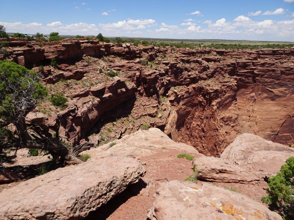
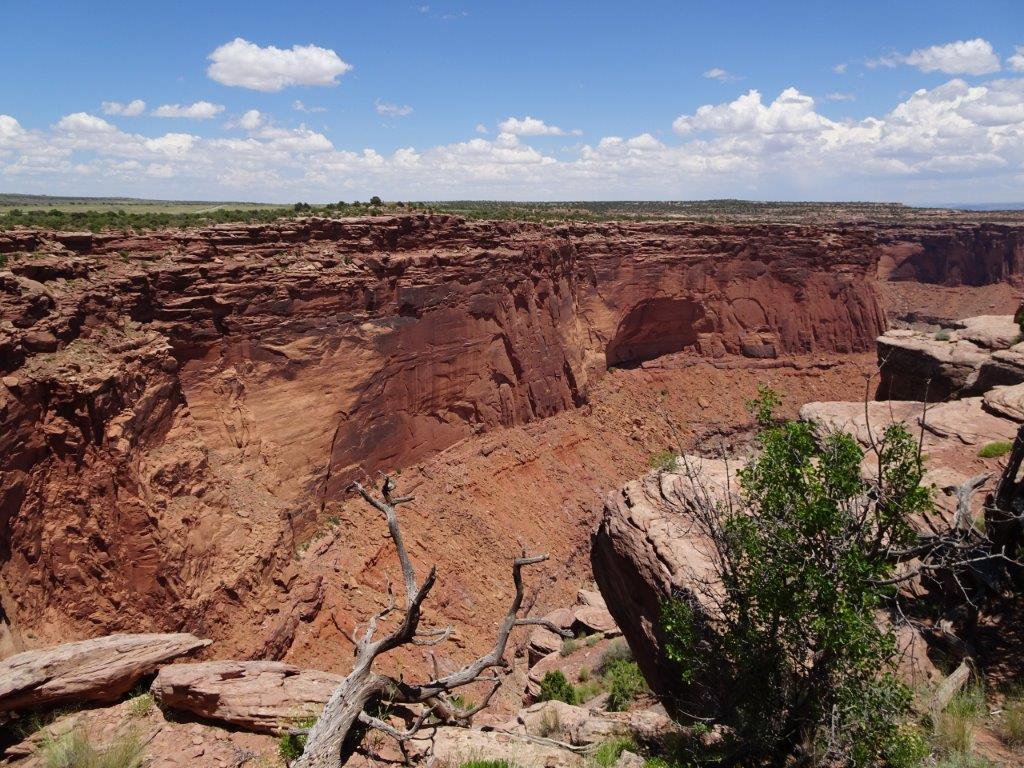
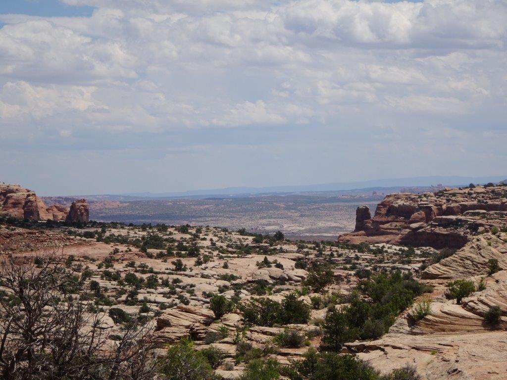
Below are a couple of shots taken from our lunch stop.
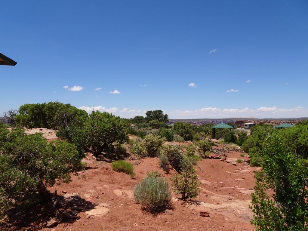
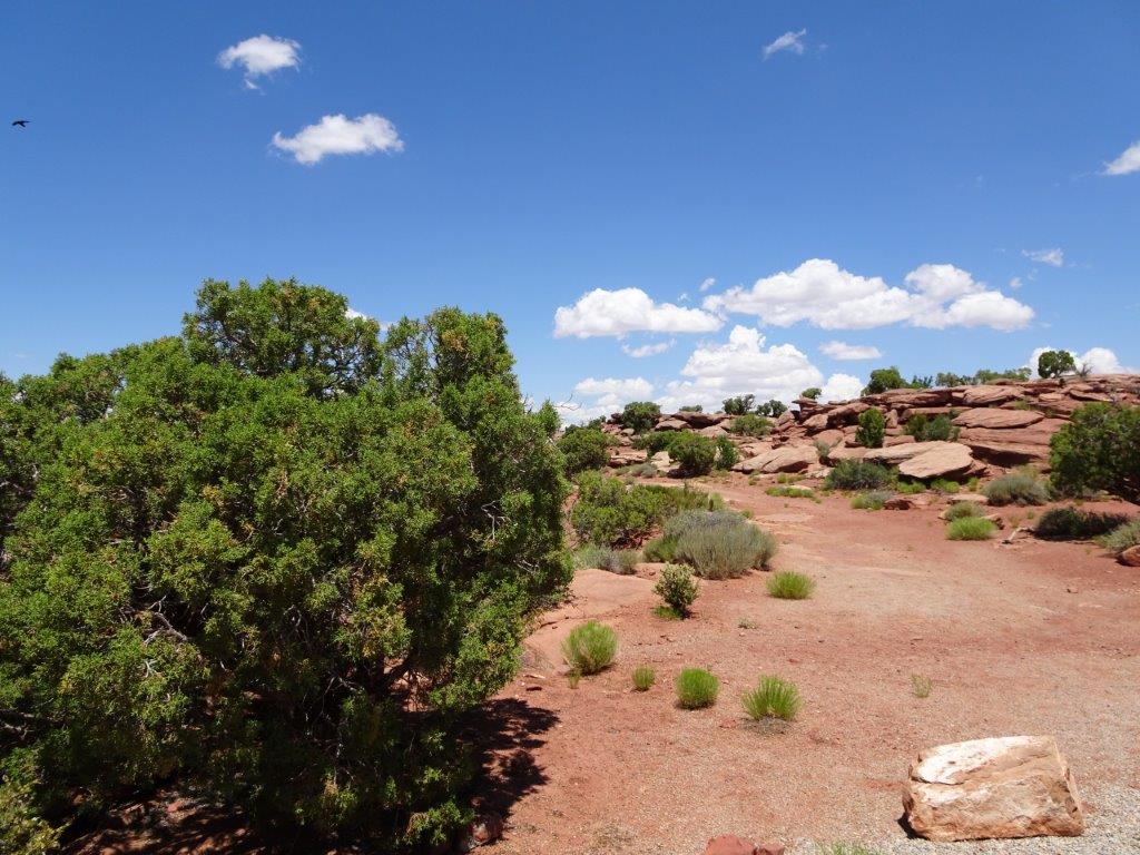
As I mentioned at the beginning, the Colorado River was 2000 ft below the point.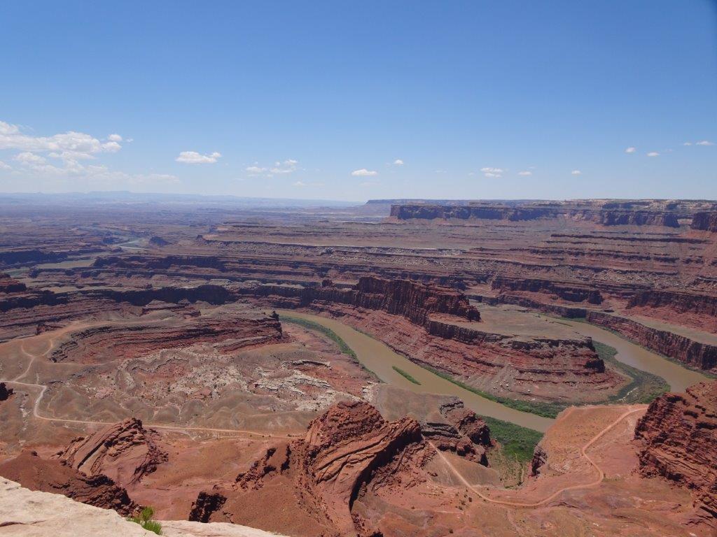
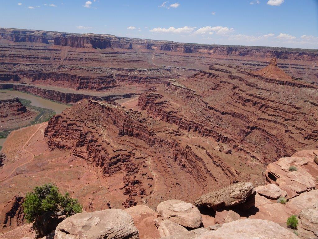
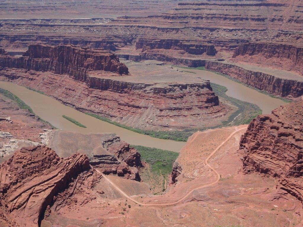
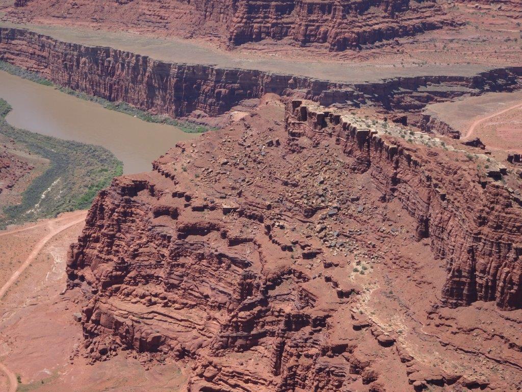
As were looking out over the river there were a couple of bright blue patches visible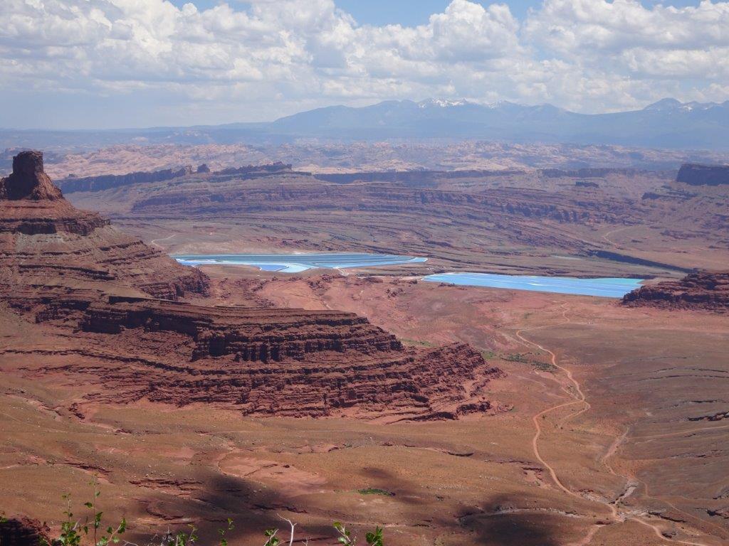
These looked like lakes, but the colour just seemed too vivid. In fact they were lakes, but they were there for commercial purposes. The area is rich in potassium chloride, which is used in fertiliser production. Water is pumped from the river into the rocks below the ponds, this creates a potassium chloride solution that is forced to the surface. The solution is left there to evaporate, bright blue dye is added to speed up the process, and then scrapers are used to remove the product.
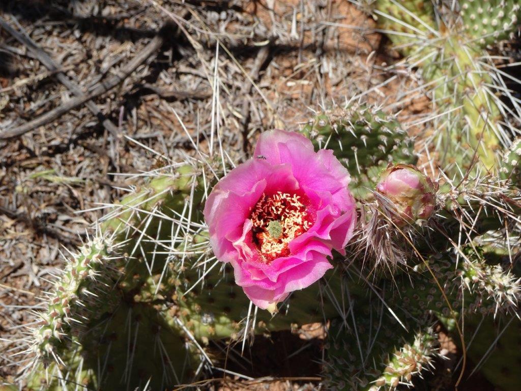
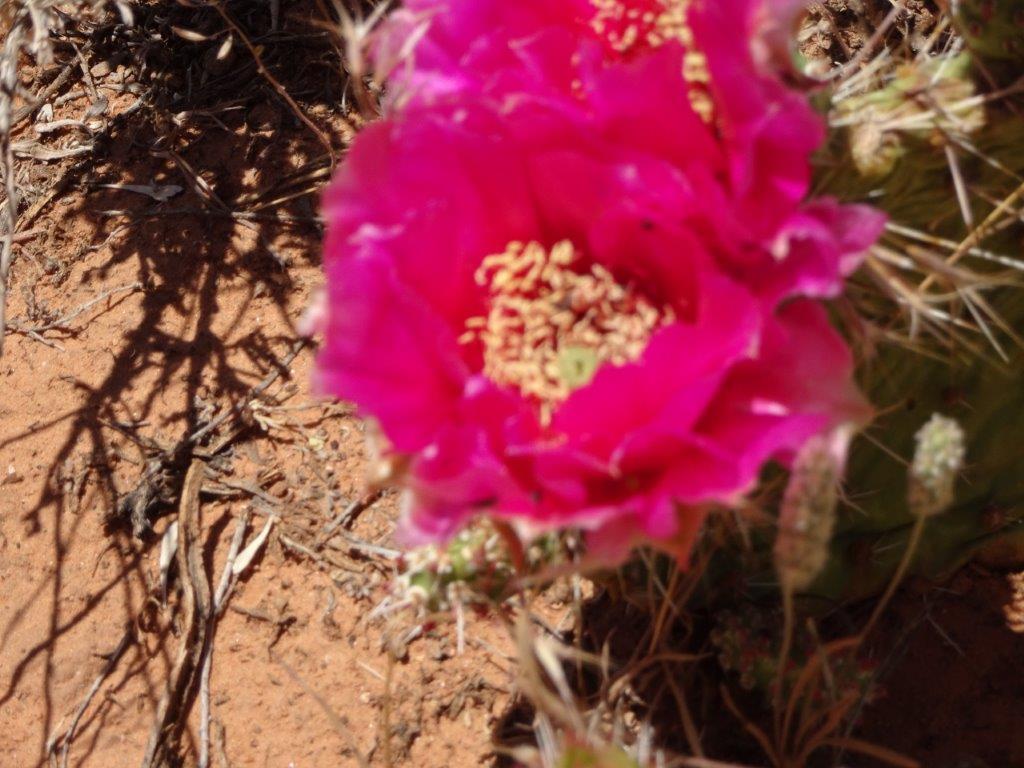
One of our cache detours took us into an area of cacti, again many were flowering.
Ummm…. need to read up on using the macro setting!
The last surprise of the day was an oil well in the middle of nowhere.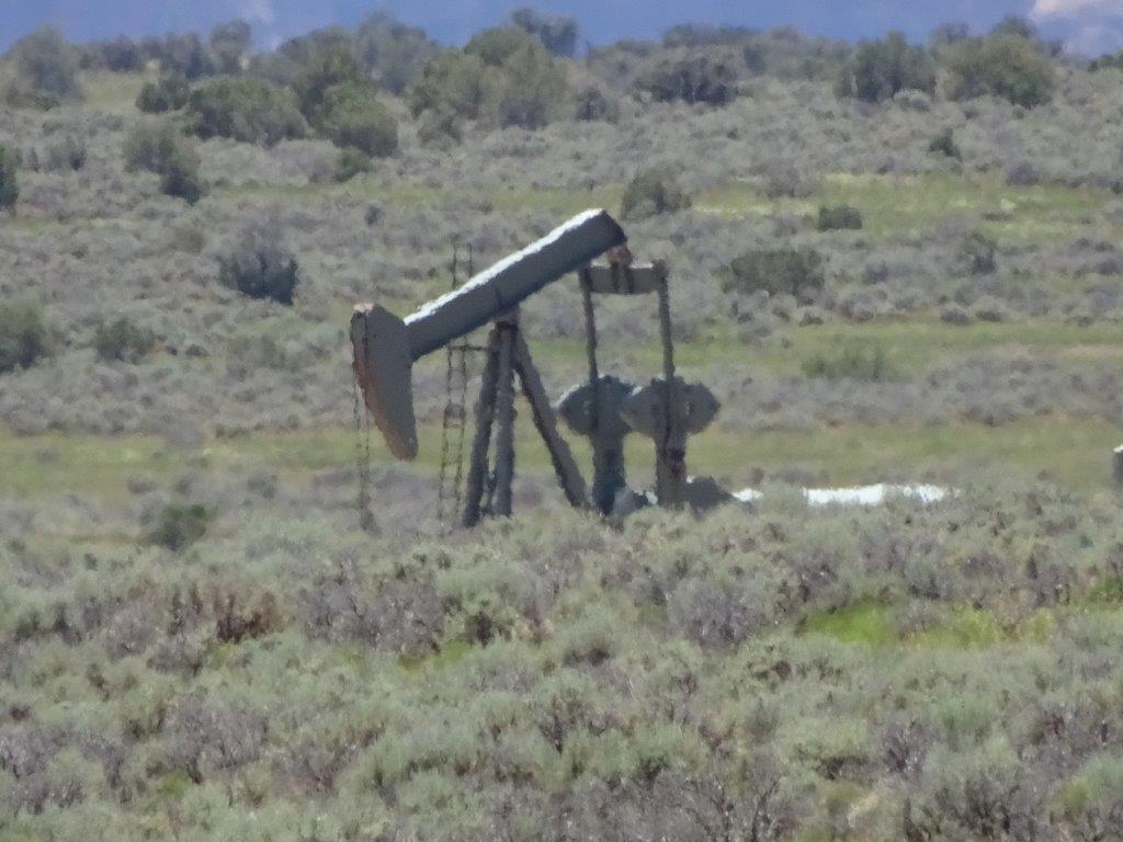 We headed back to the campsite, with a quick stop for fuel and some forgotten groceries.
As we descend the 2000 ft from the park the nice cool temperature of 26°C rose up to 34°C. At least that is a little cooler than the peaks of a couple of days ago.

