Dead Horses and Dinosaurs

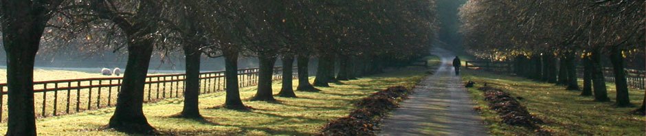
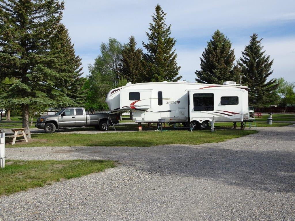
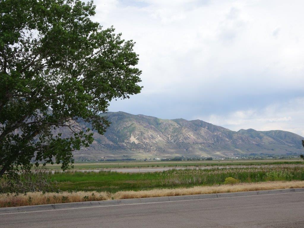
Another comfortable nights rest, I think I’ve got the A/C under control finally. After experimenting with opening and closing various vents the whole trailer cools to the same temperature. When we first started the sleeping area was about 10°C hotter than the living area! Conversely to get a decent sleeping temperature the living area was down at 18°C.

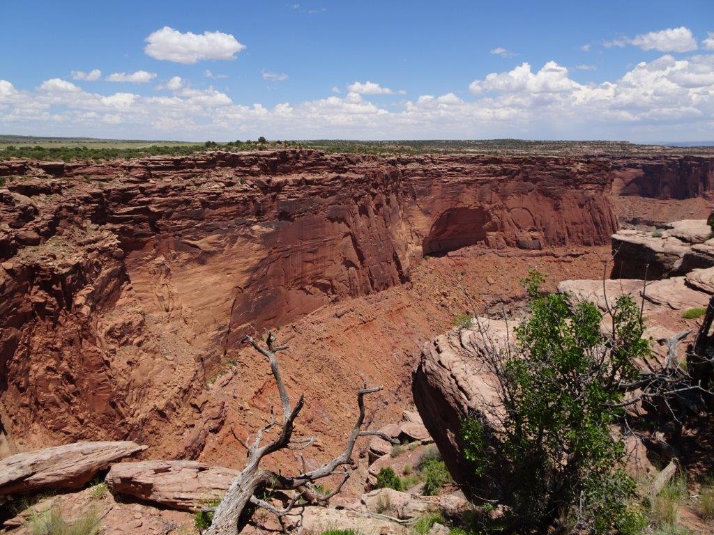
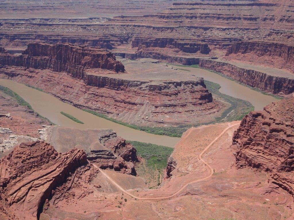
After breakfast Lyn made up a lunch and we headed out to Dead Horse Point, in Dead Horse State Park. Why was it called Dead Horse Point?? Well a couple of centuries back, a group of cowboys discovered the point of land on a cliff which was 2-3 miles long, with a narrow part that was only about 30 yds wide. Across this narrow part they could make a fence to corral the horses in. So being good little cowboys they got a whole load of horses in the corral from the surrounding area and then went off to round up some more. Water wasn’t a problem as the Colorado River was only about 2000 ft away. Unfortunately that 2000 ft was measured vertically over the cliff face. When the cowboys got back, the horses were dead.

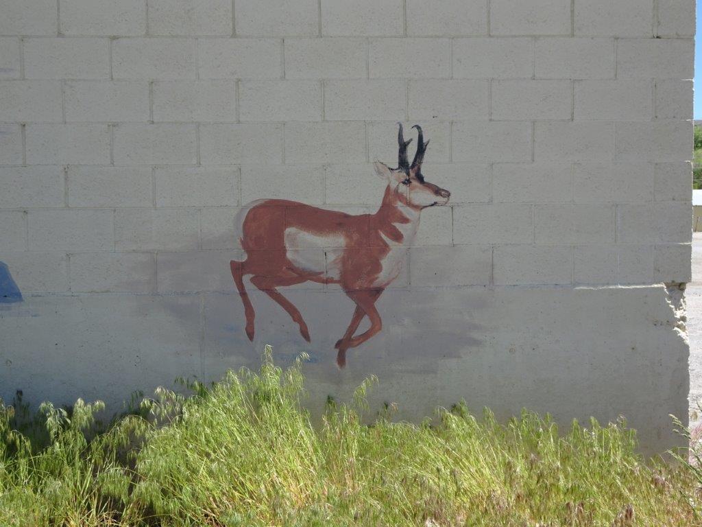
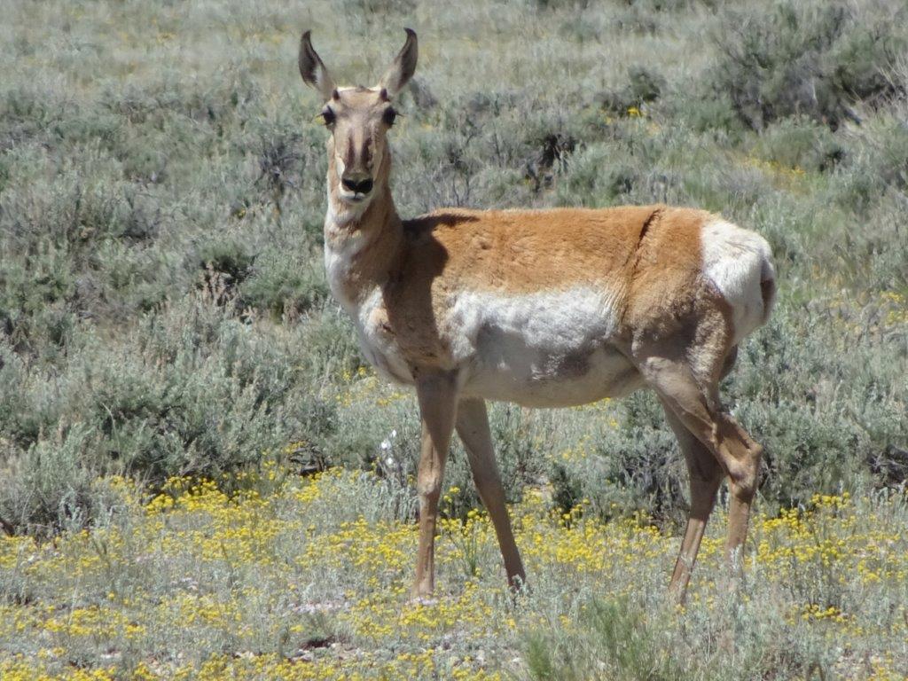
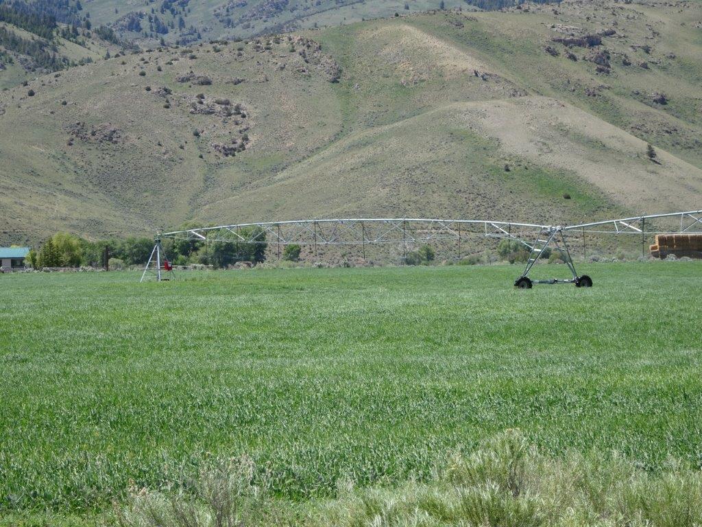
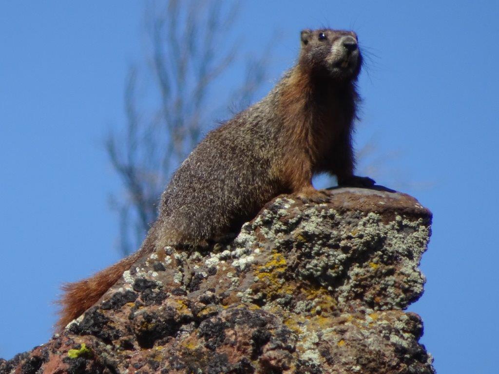
As we left the main road to head off to the State Park, I caught a movement in my peripheral vision, there was a large animal in the field.

Dinosaur

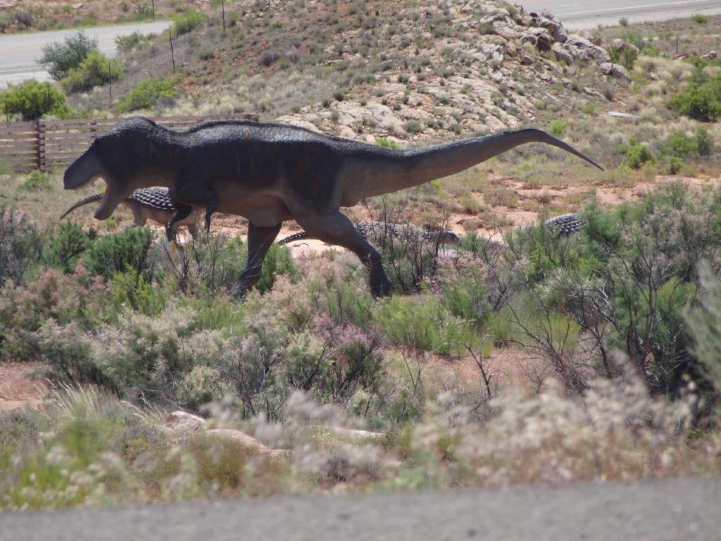
 I know it feels like we have traveled back in time now we are in Utah, but this was ridiculous.

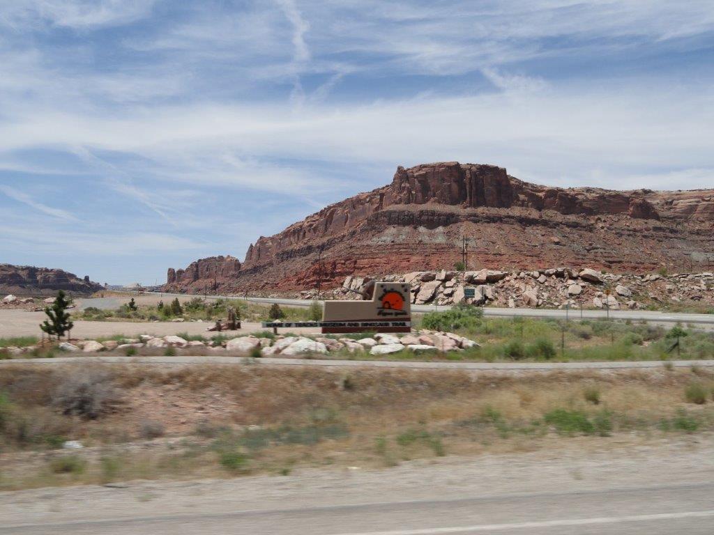
OK it was a dinosaur museum!

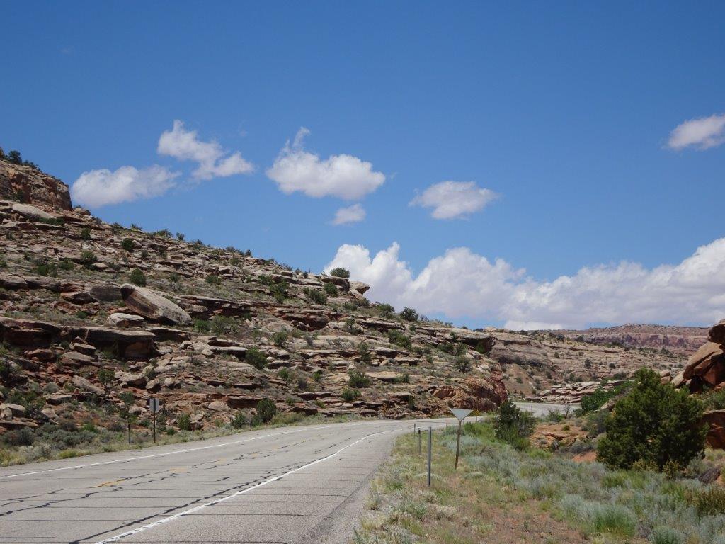
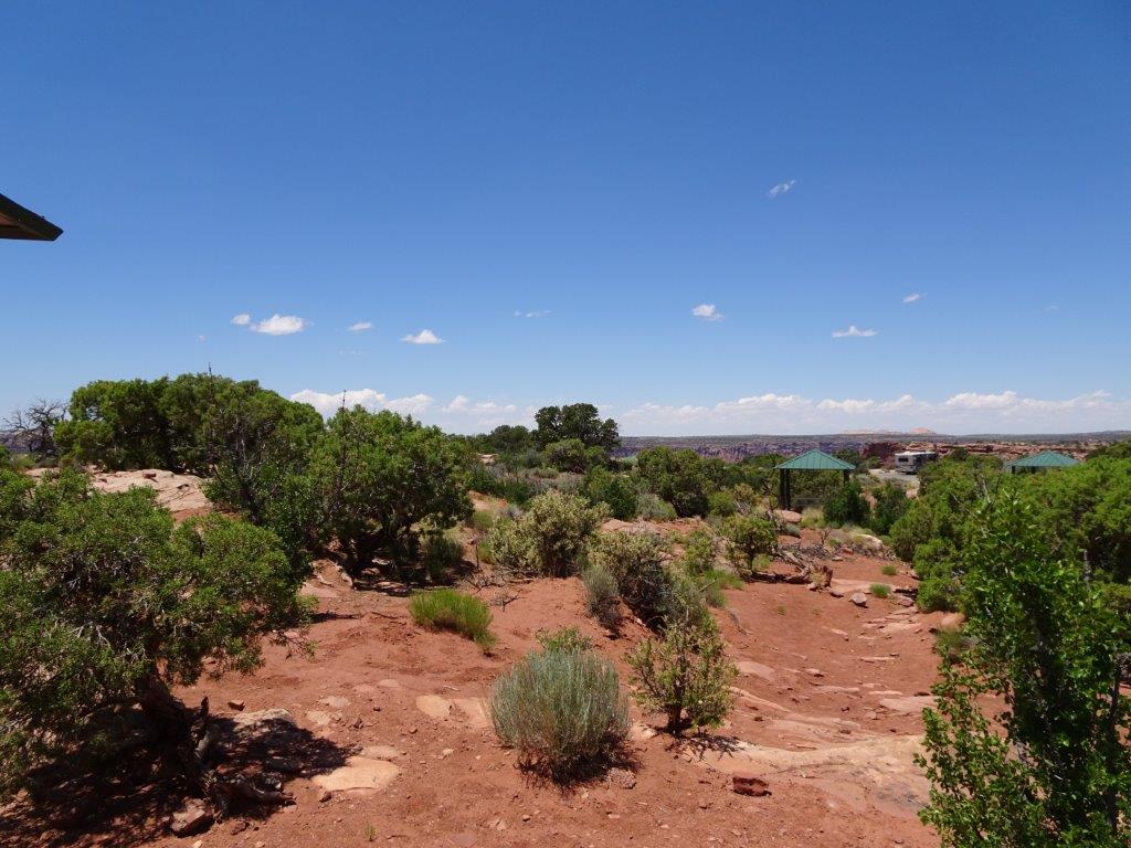
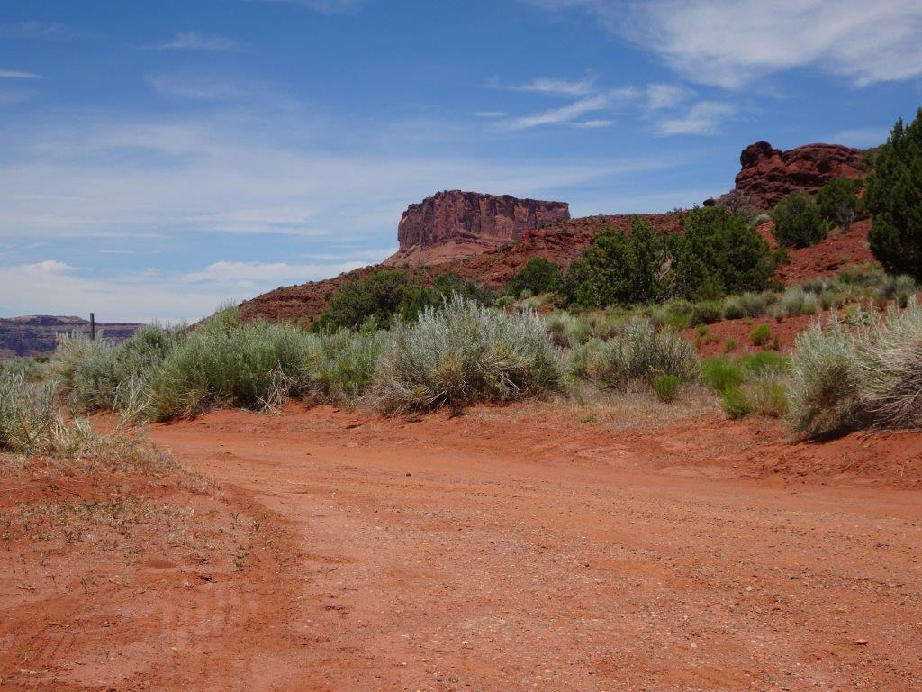
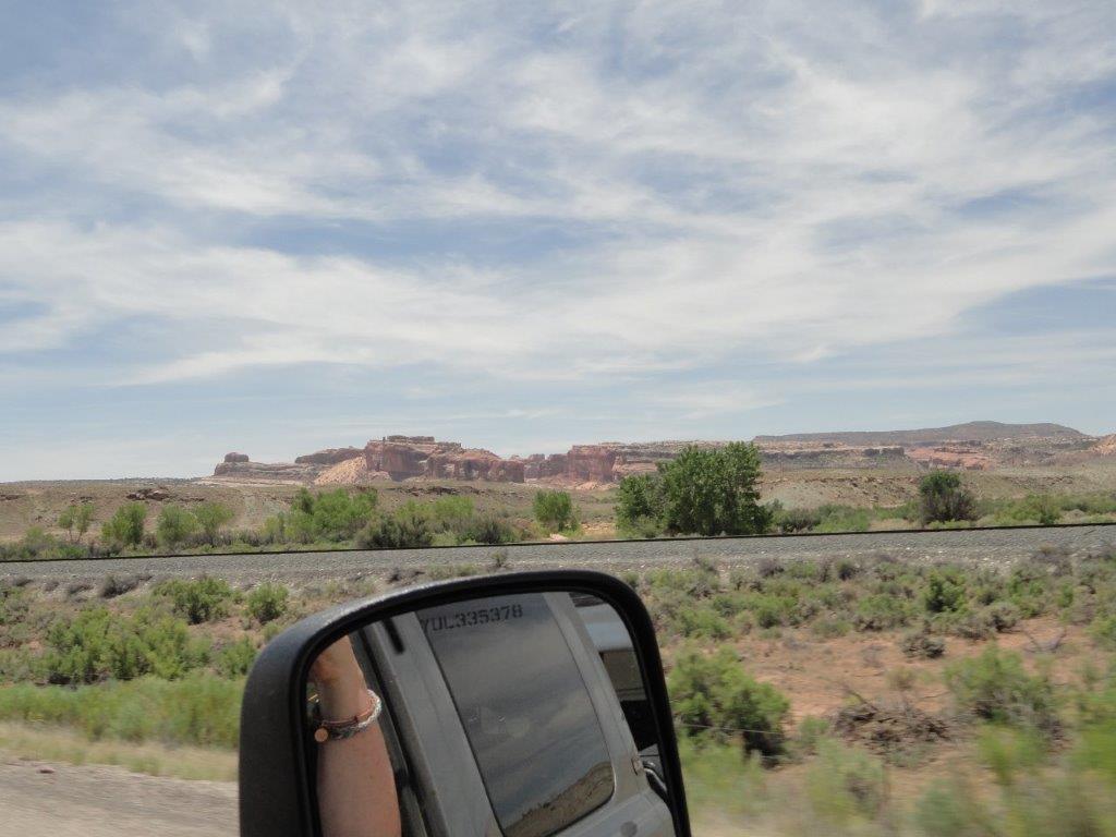
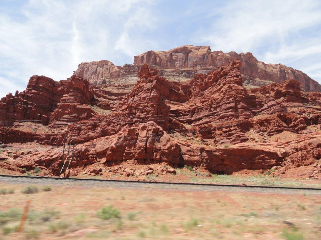
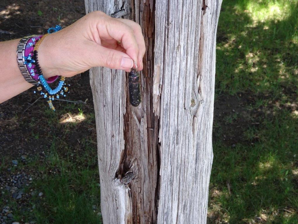
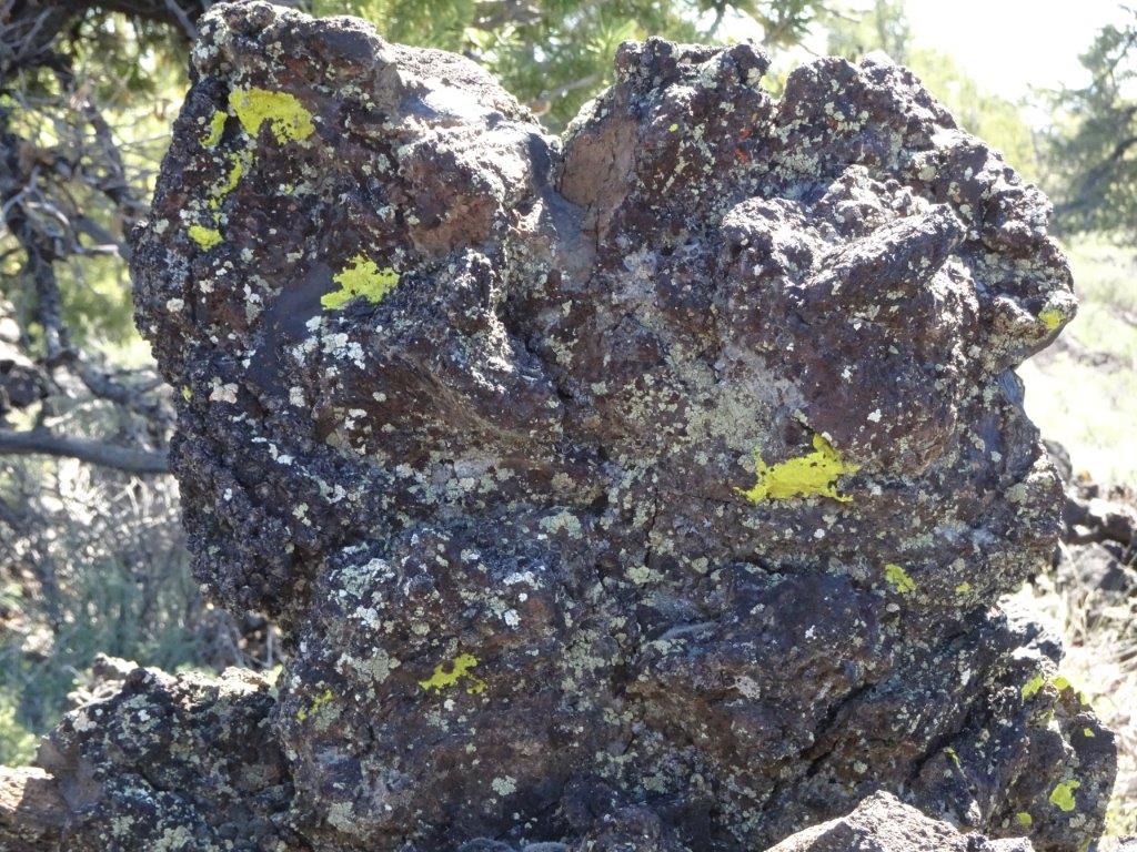
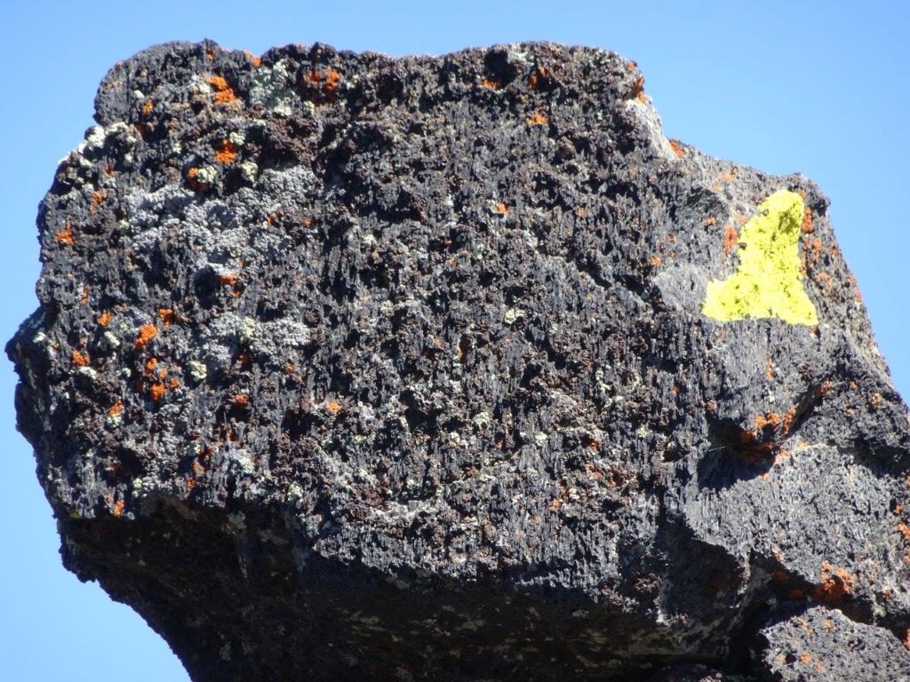
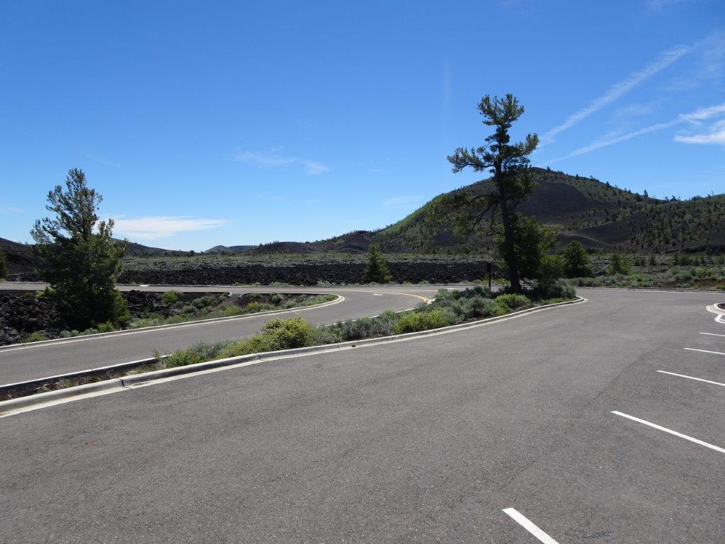
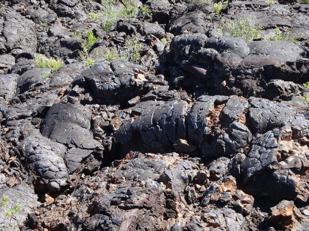
The road to the Park was home to a few geo-caches, so naturally we (I, Lyn had little option being in the passenger seat) stopped to hunt for them.

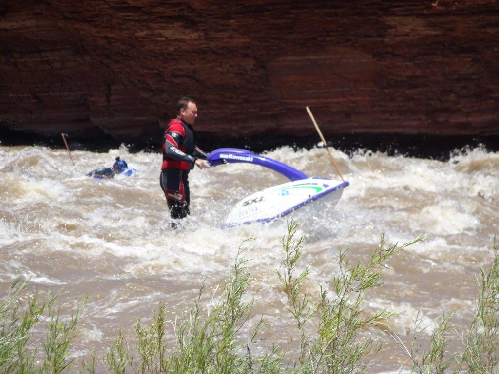
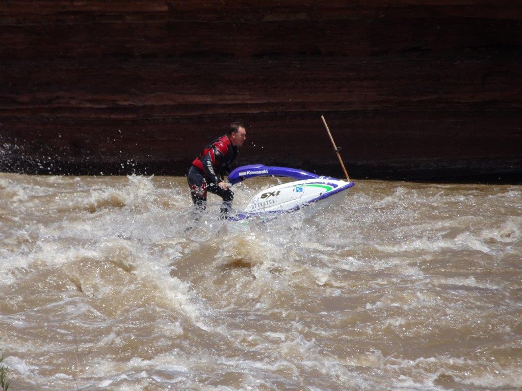
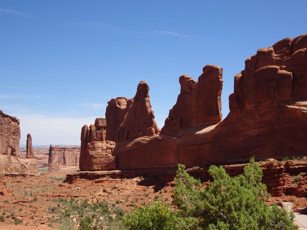
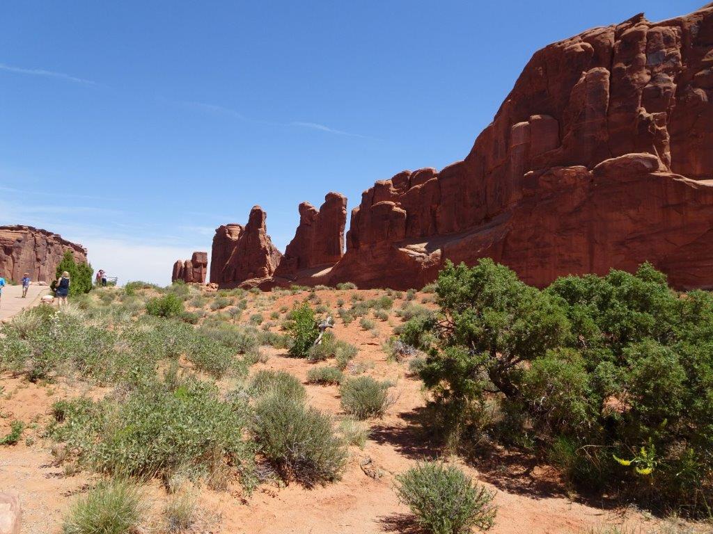
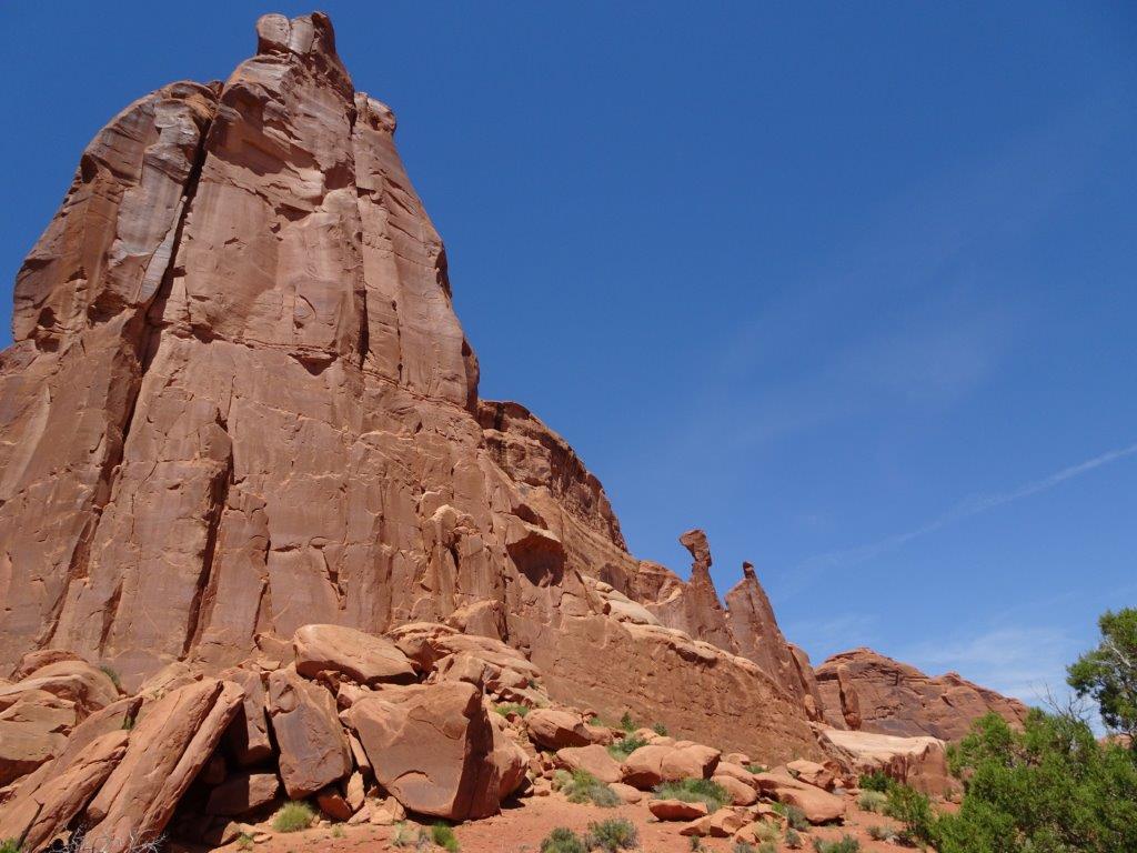
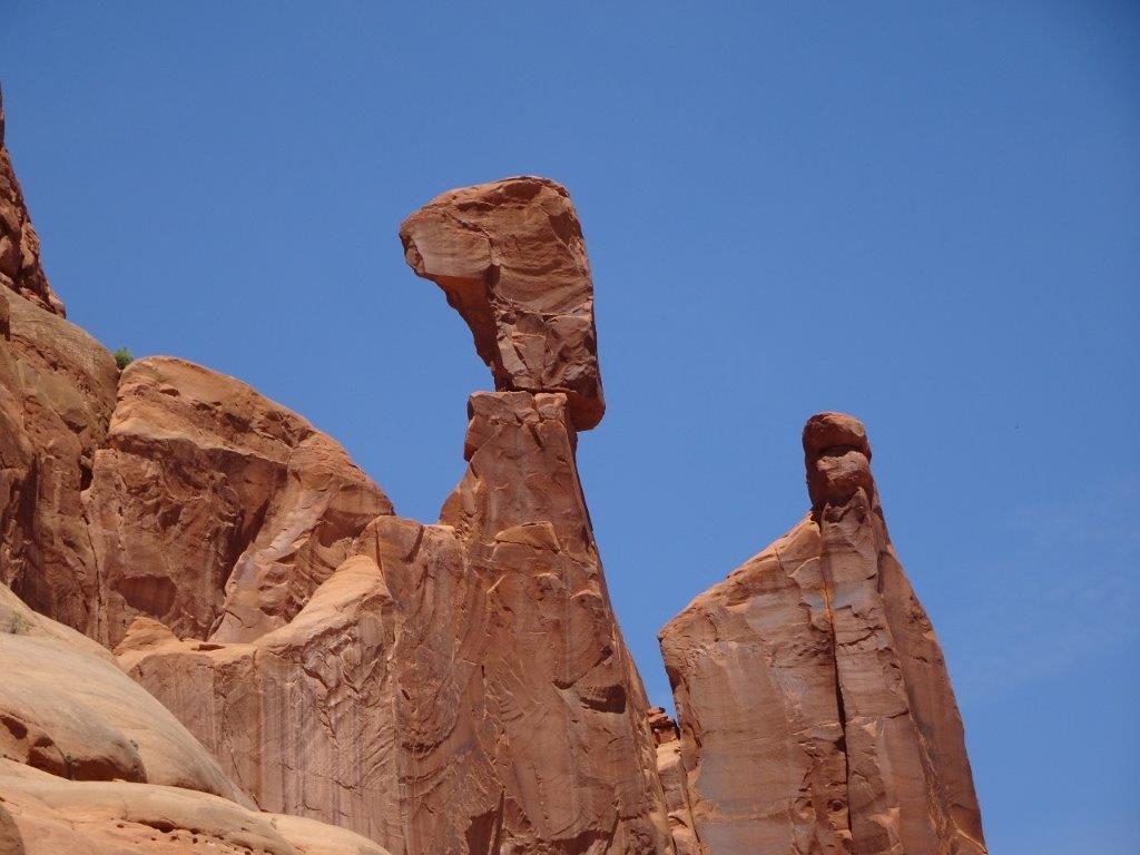
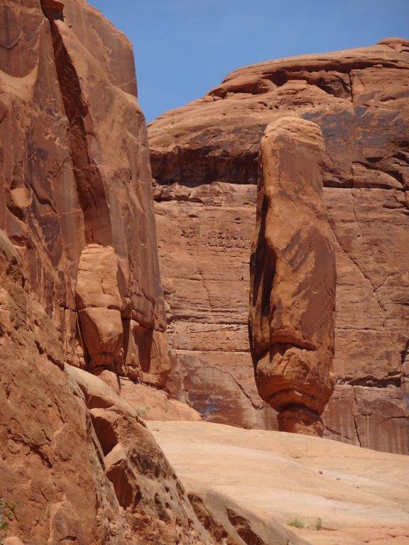
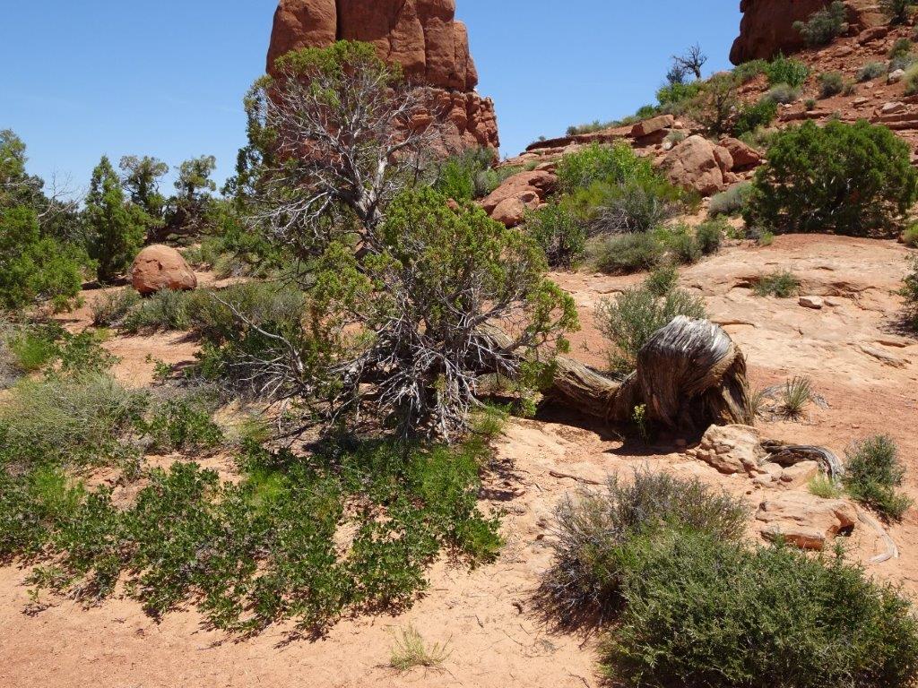
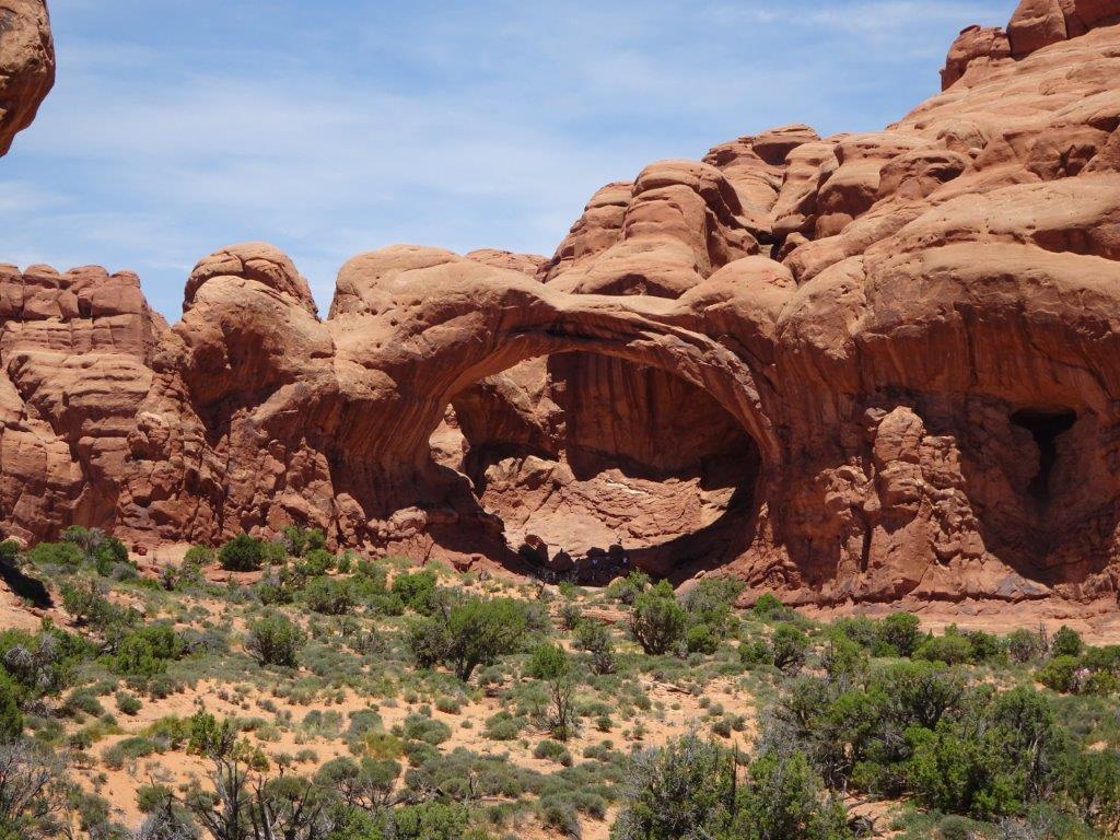
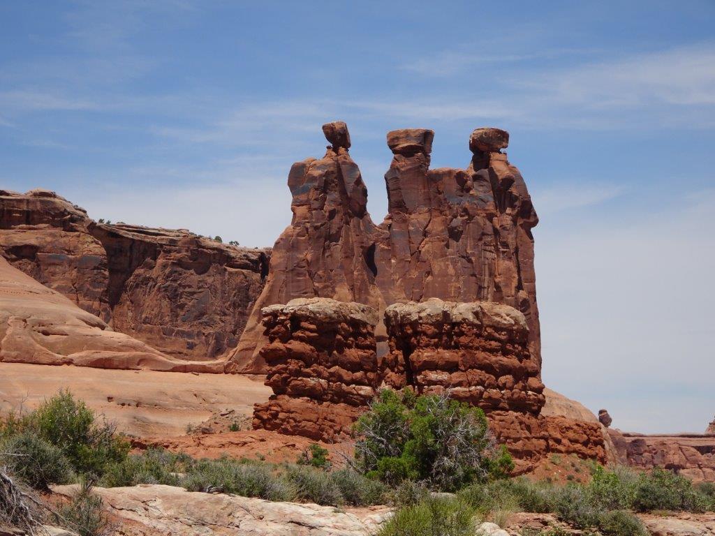
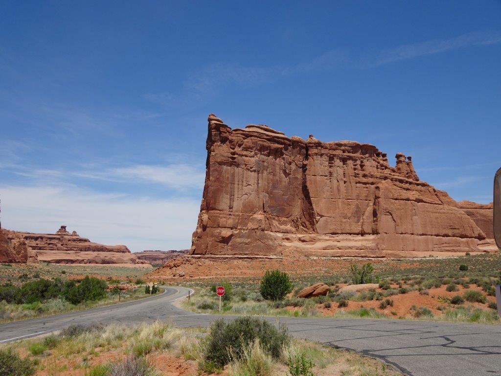
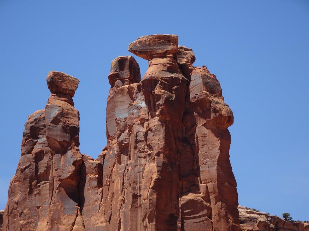
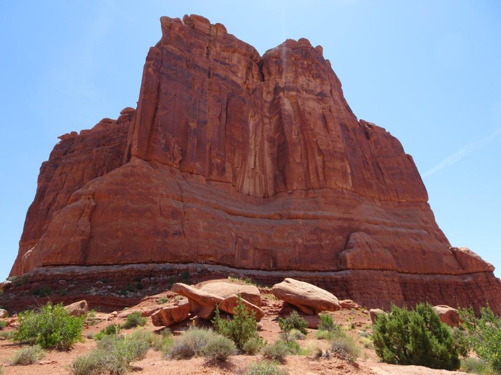
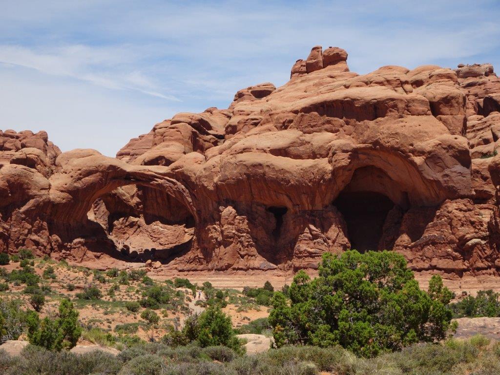
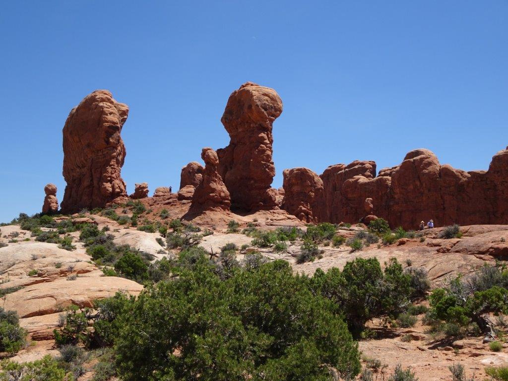
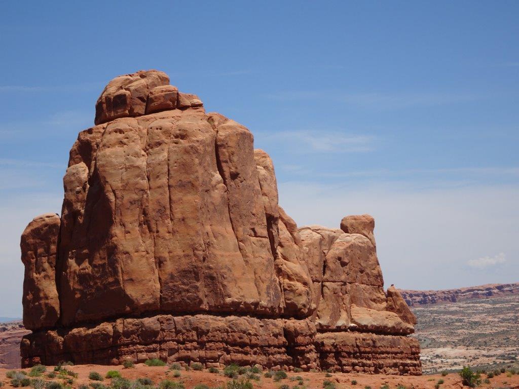
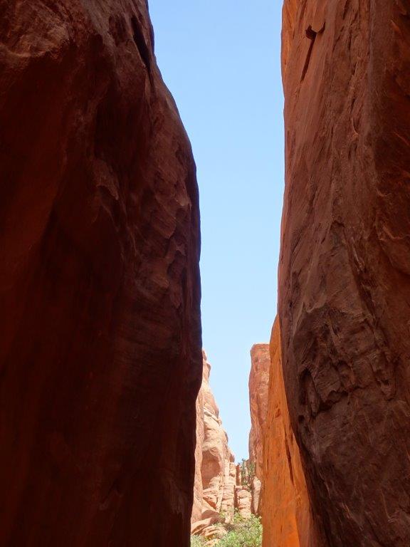
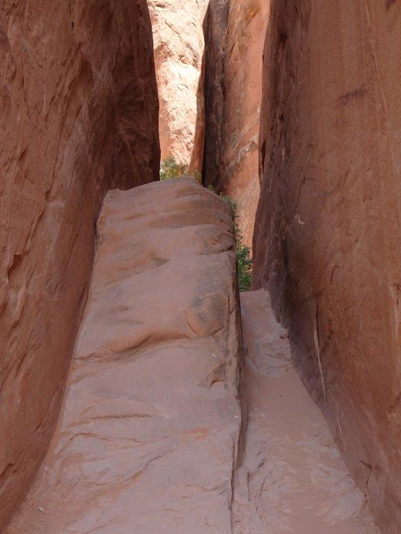
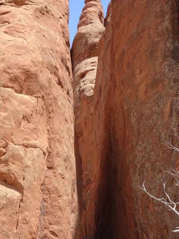
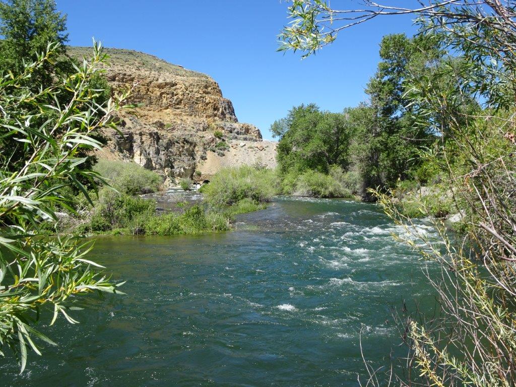
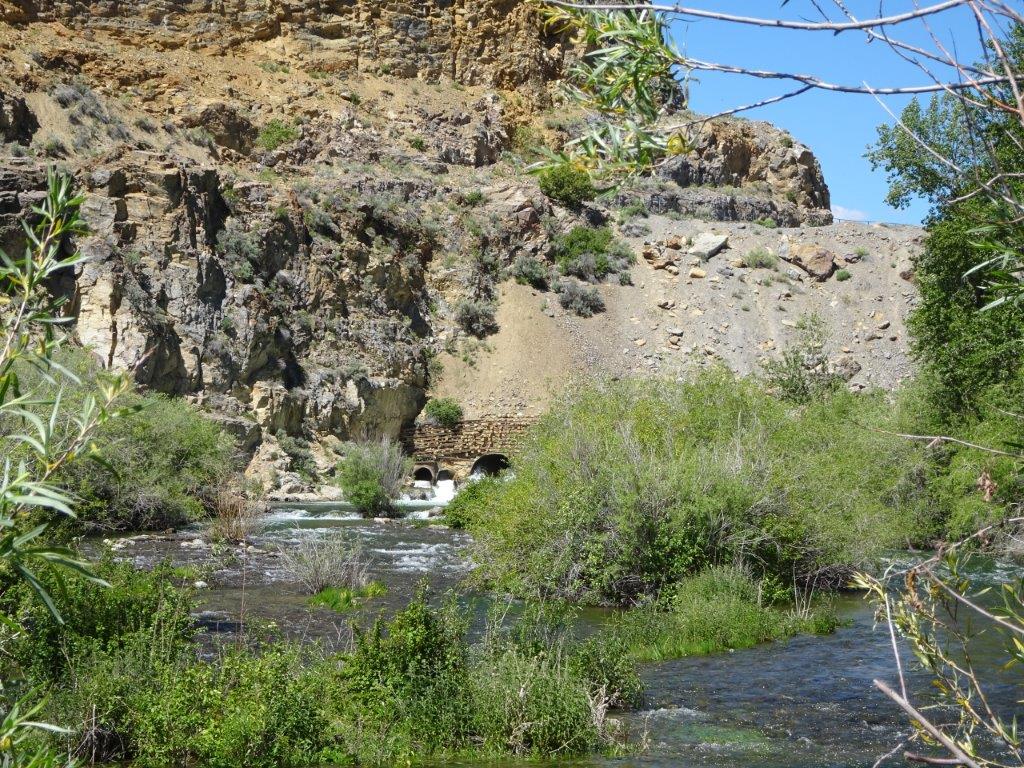
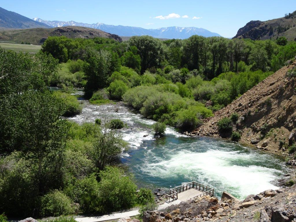
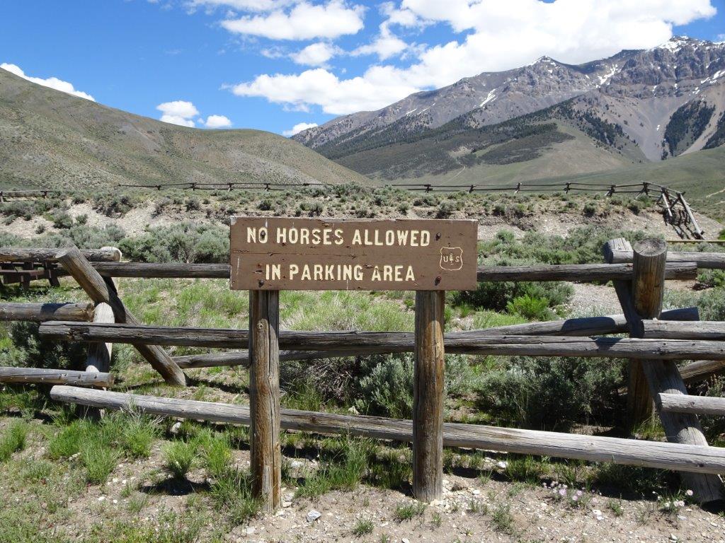
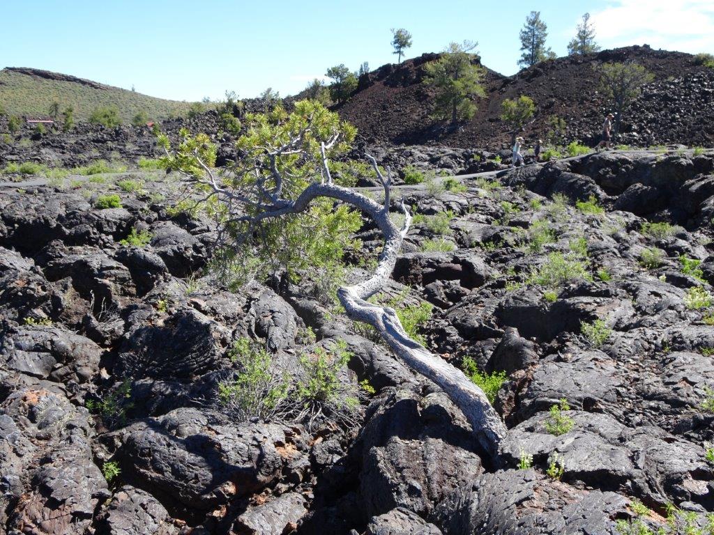
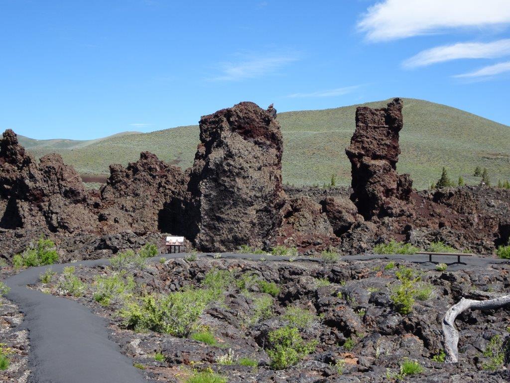
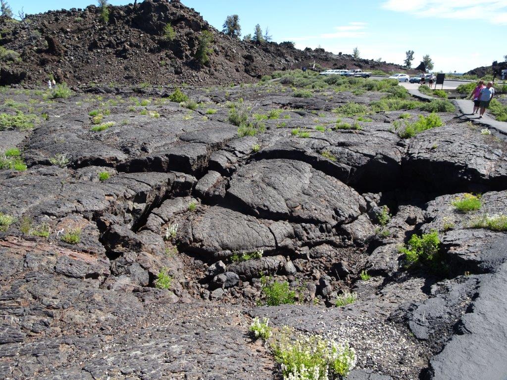
Again, this will be more pictures than words, as I am sure the pictures are more interesting than my ramblings.

Monitor and Merrimac

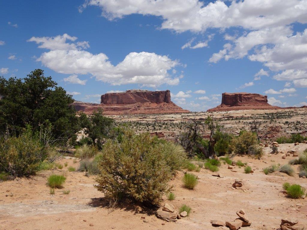
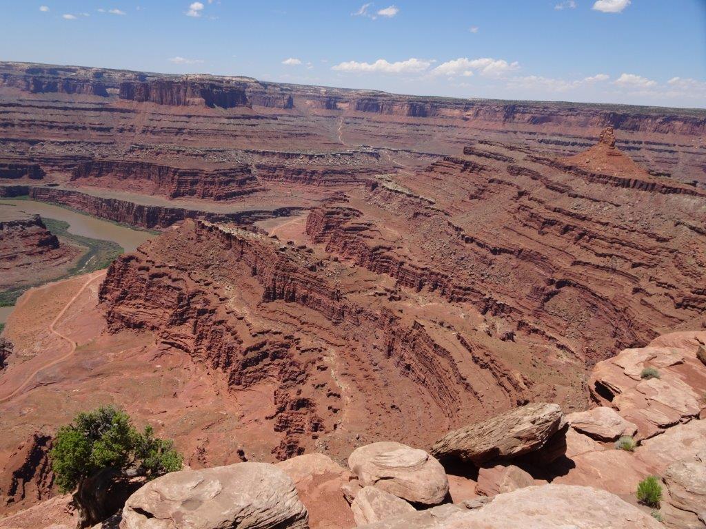
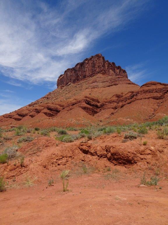
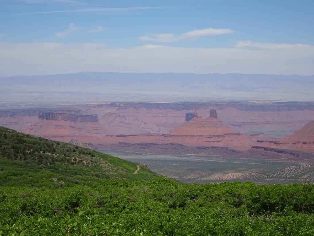
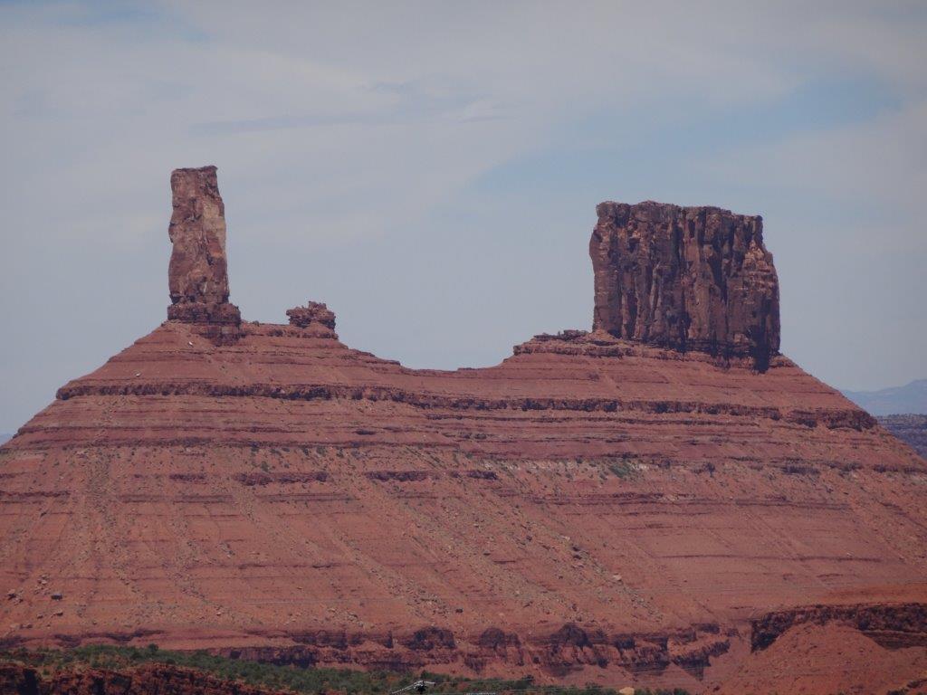
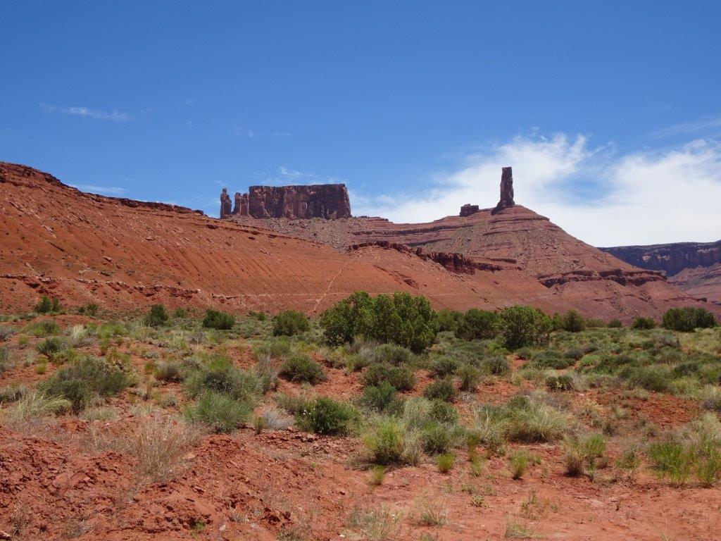
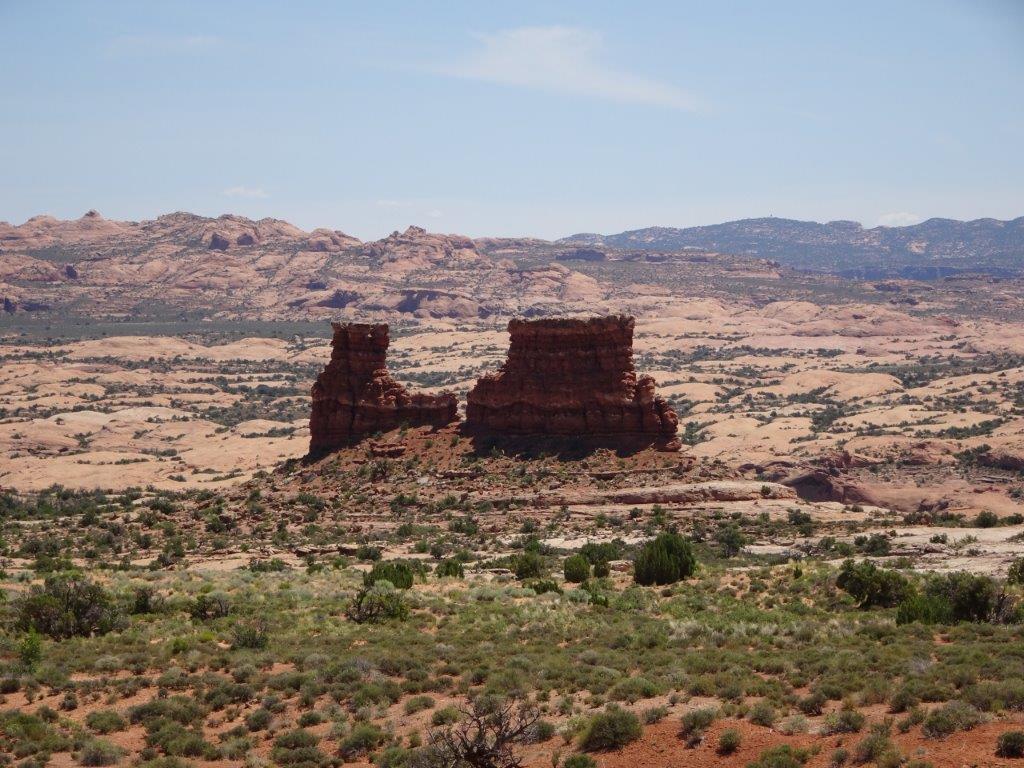
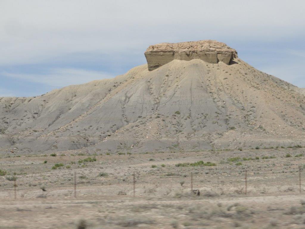
Above are two buttes named Monitor and Merrimac. They were named for two iron clad warships from back in the days of the Civil War.

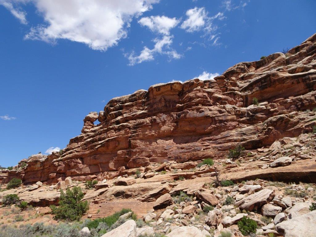
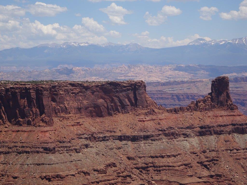
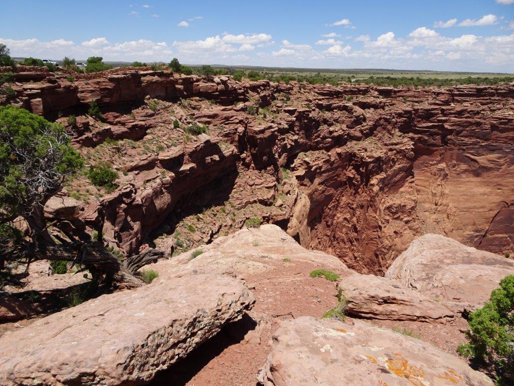
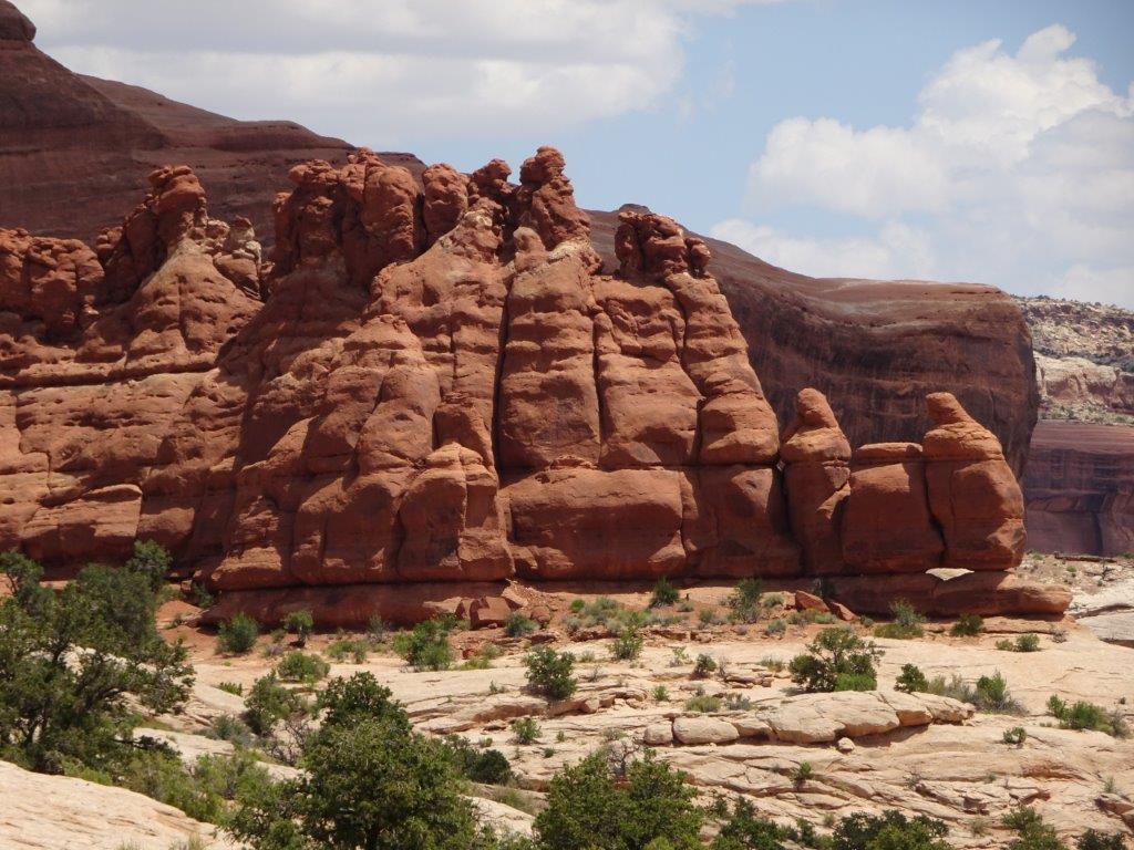
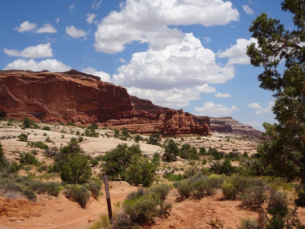
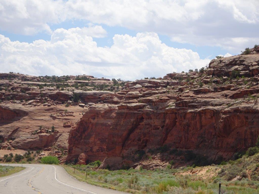
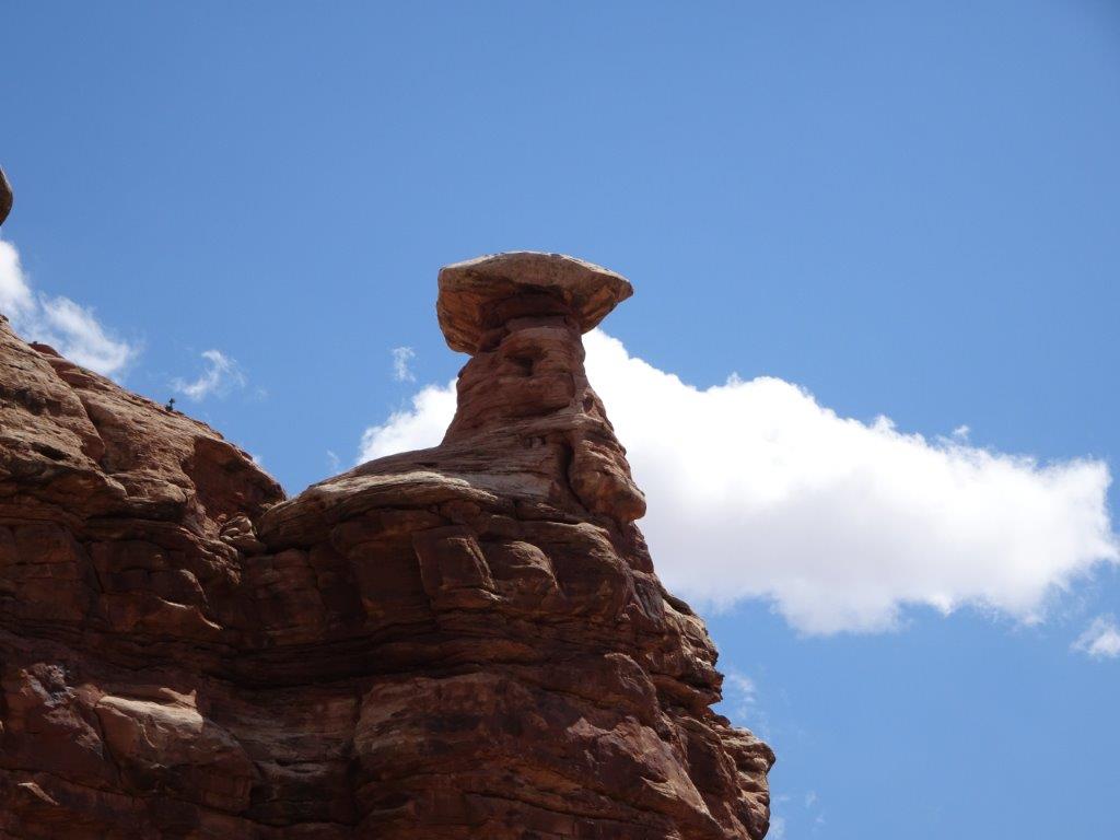
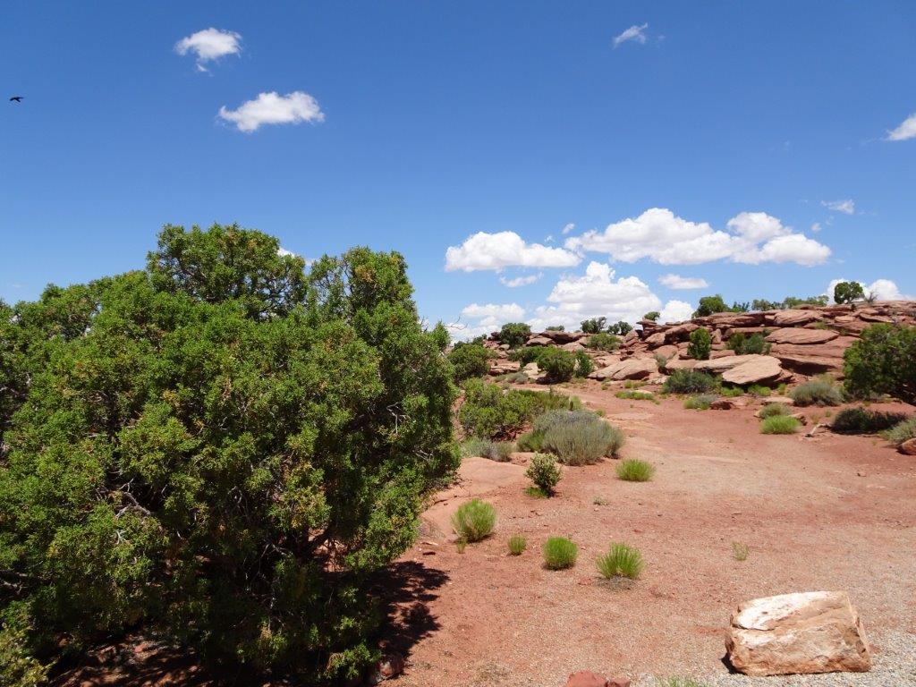
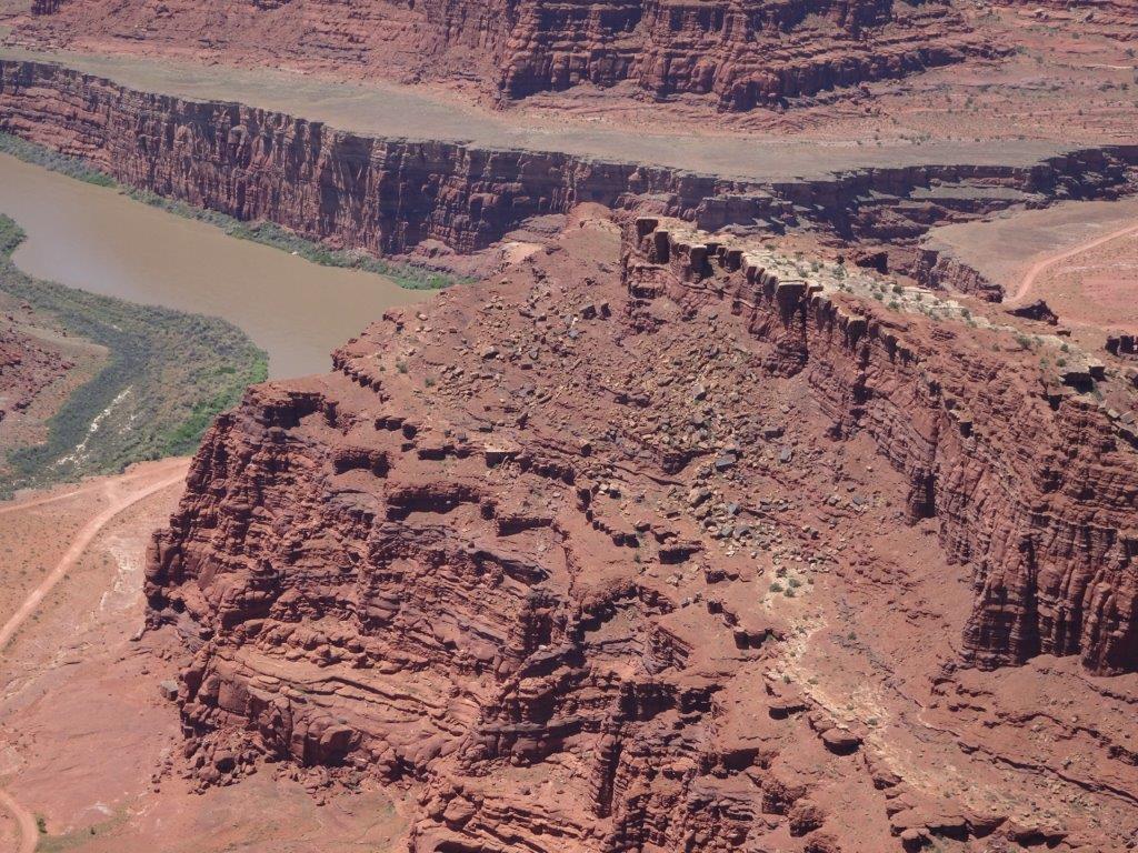
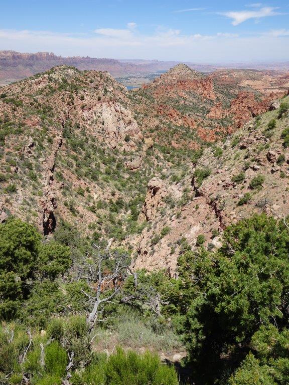
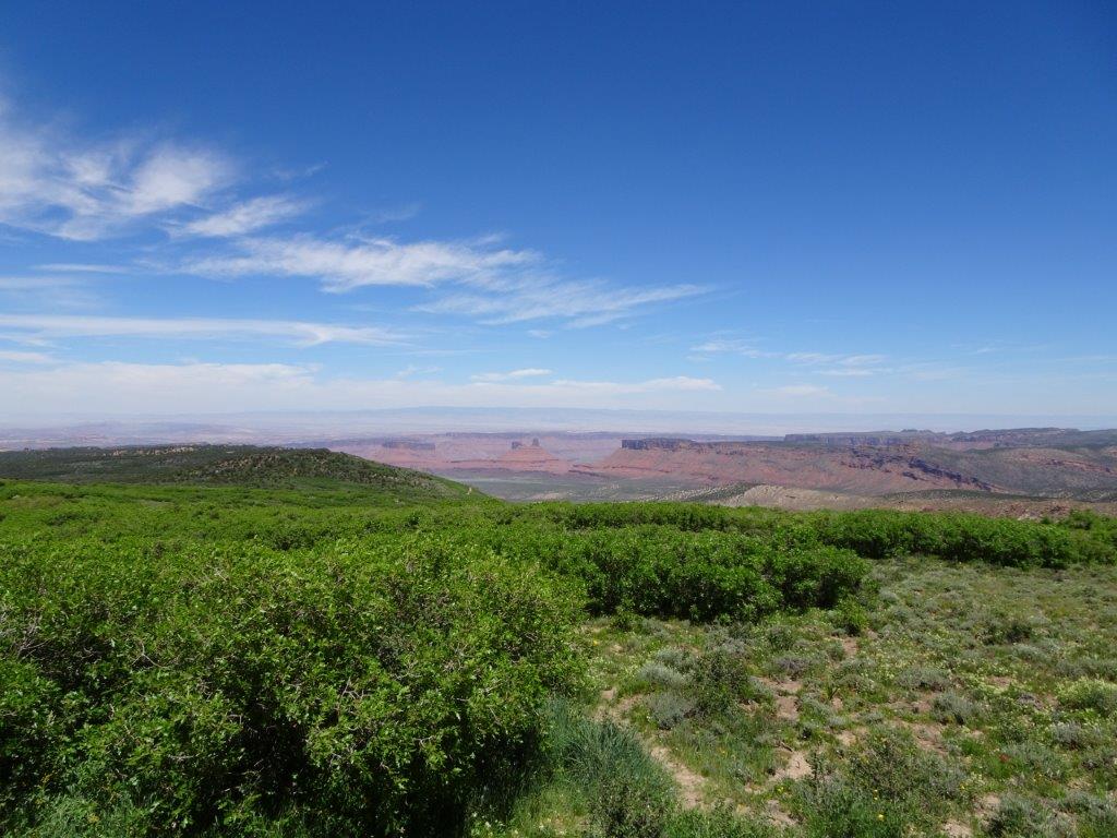
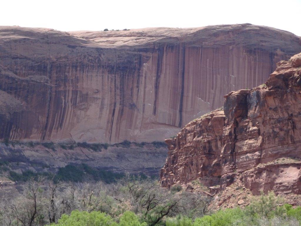
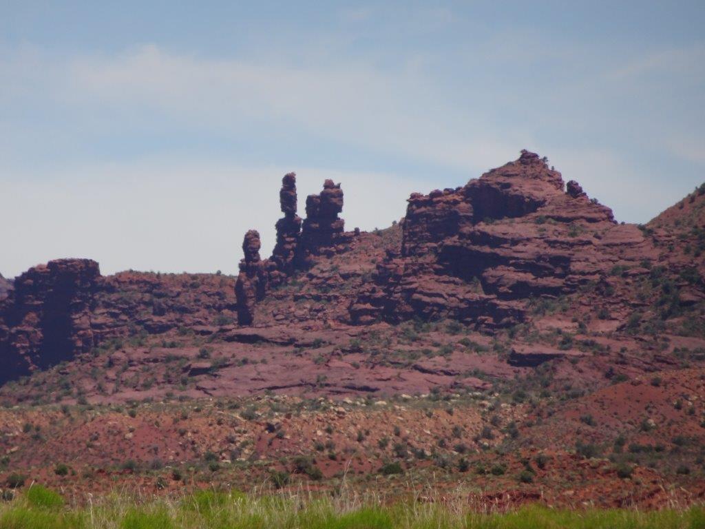
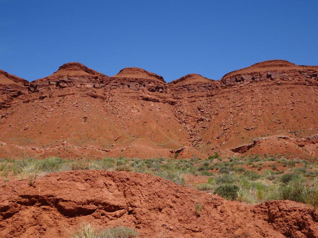
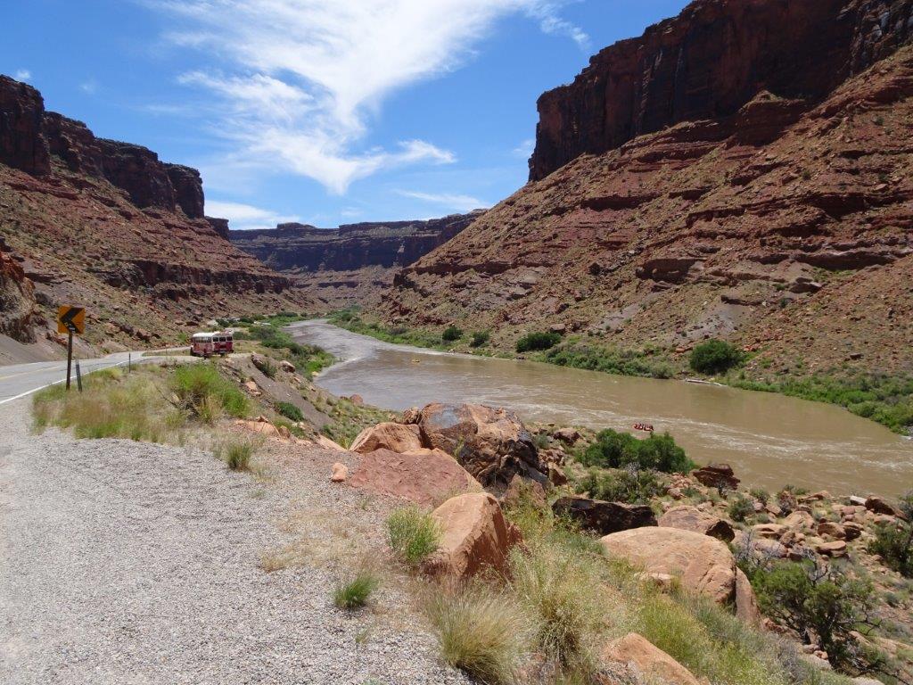
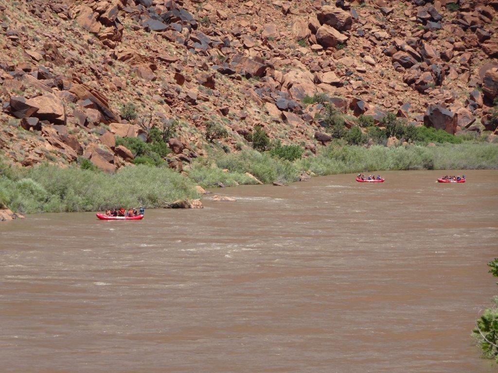
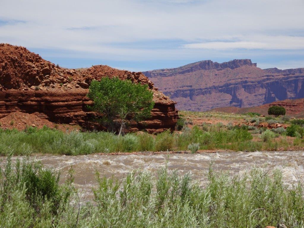
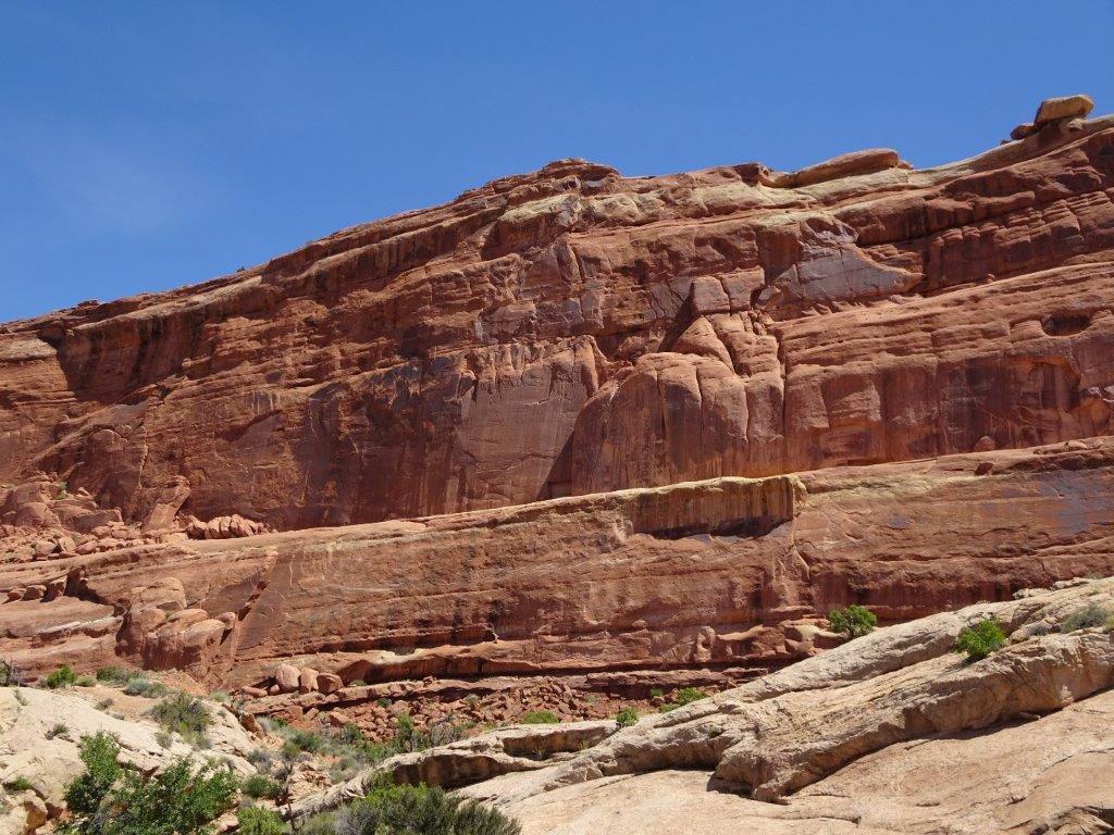
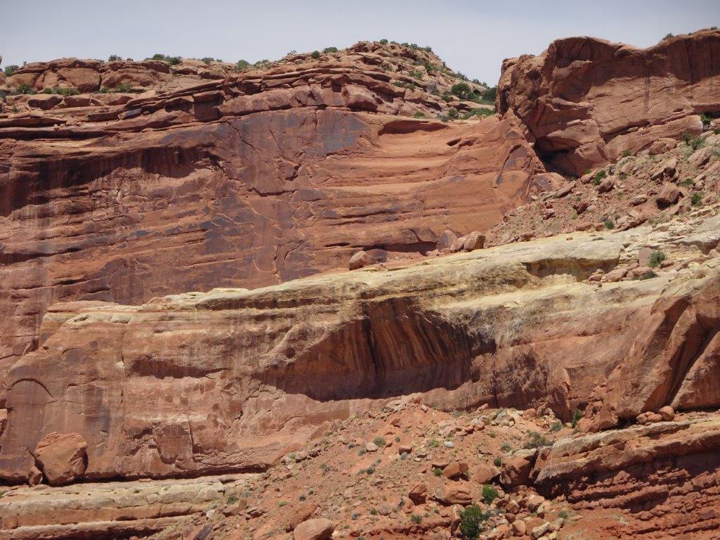
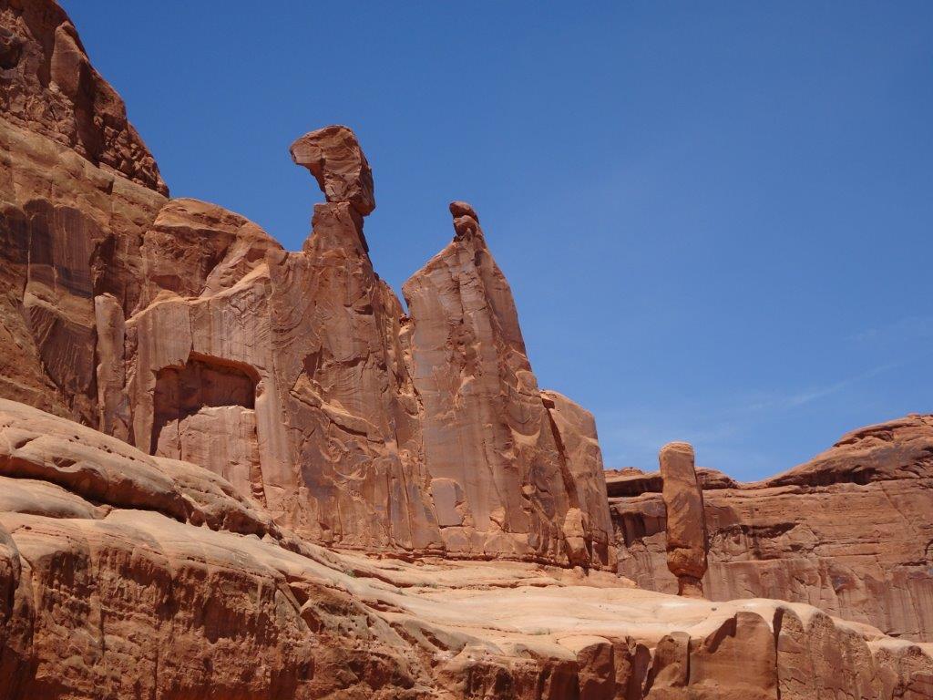
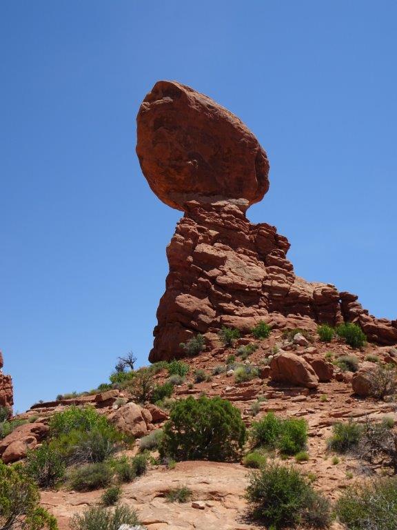
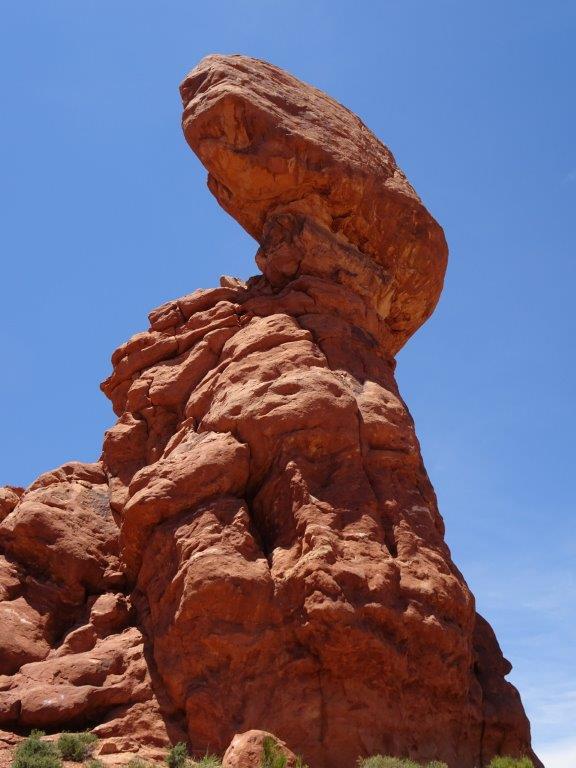
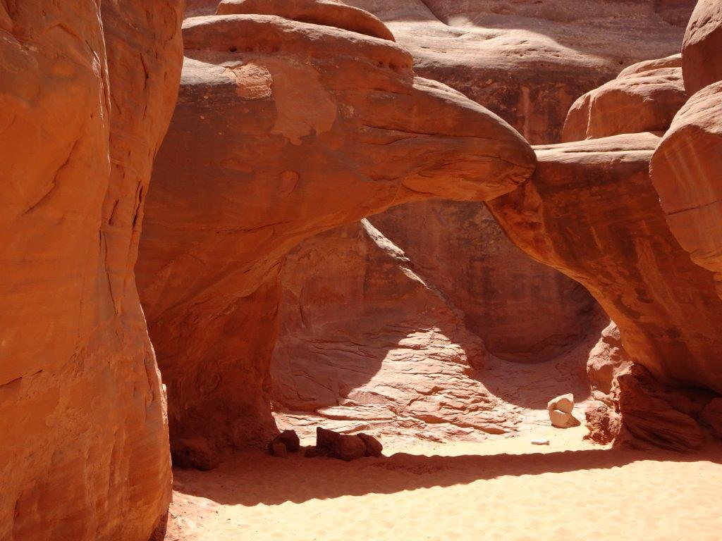
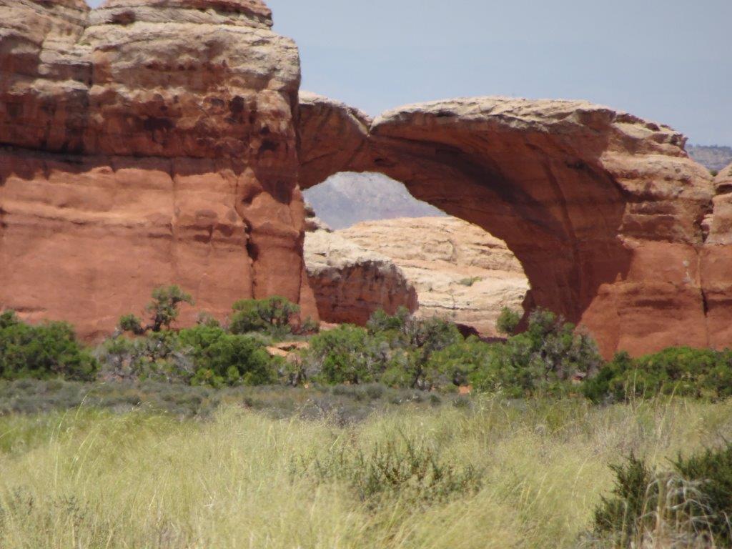
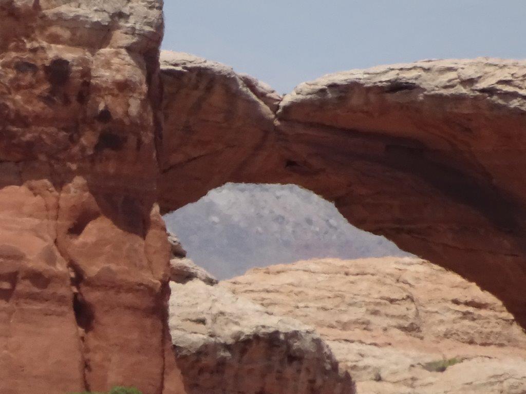
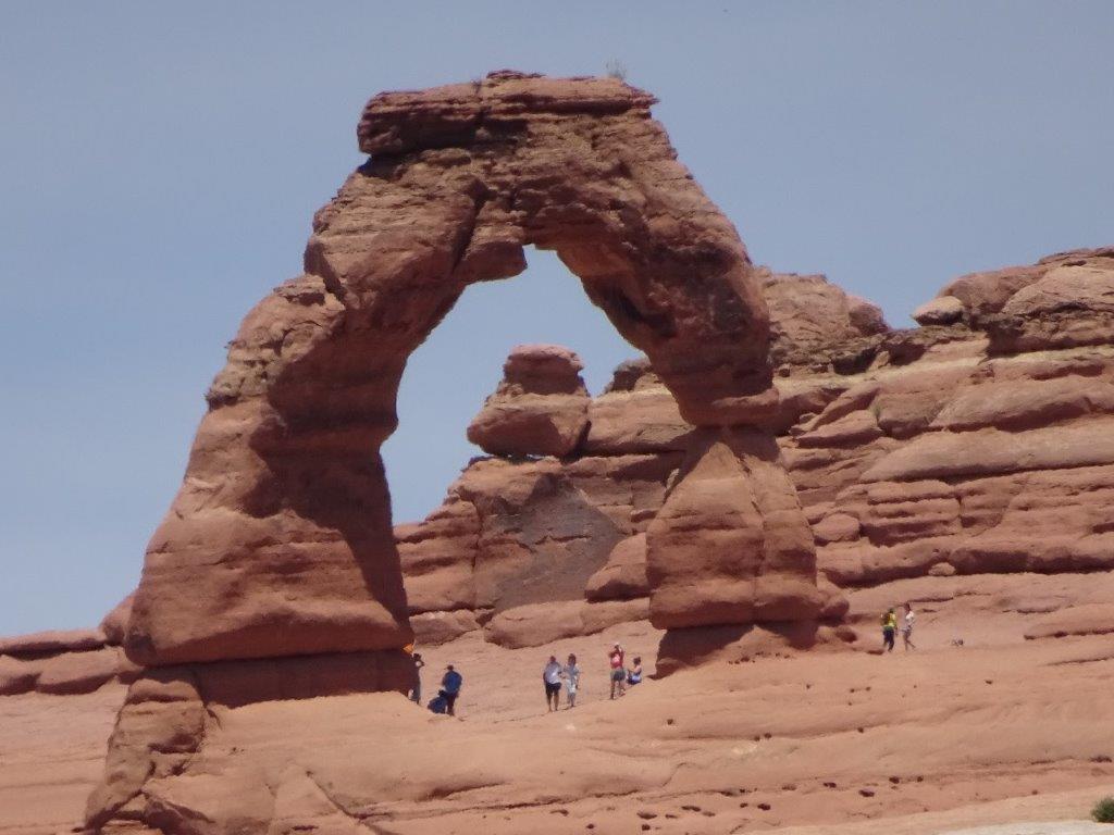
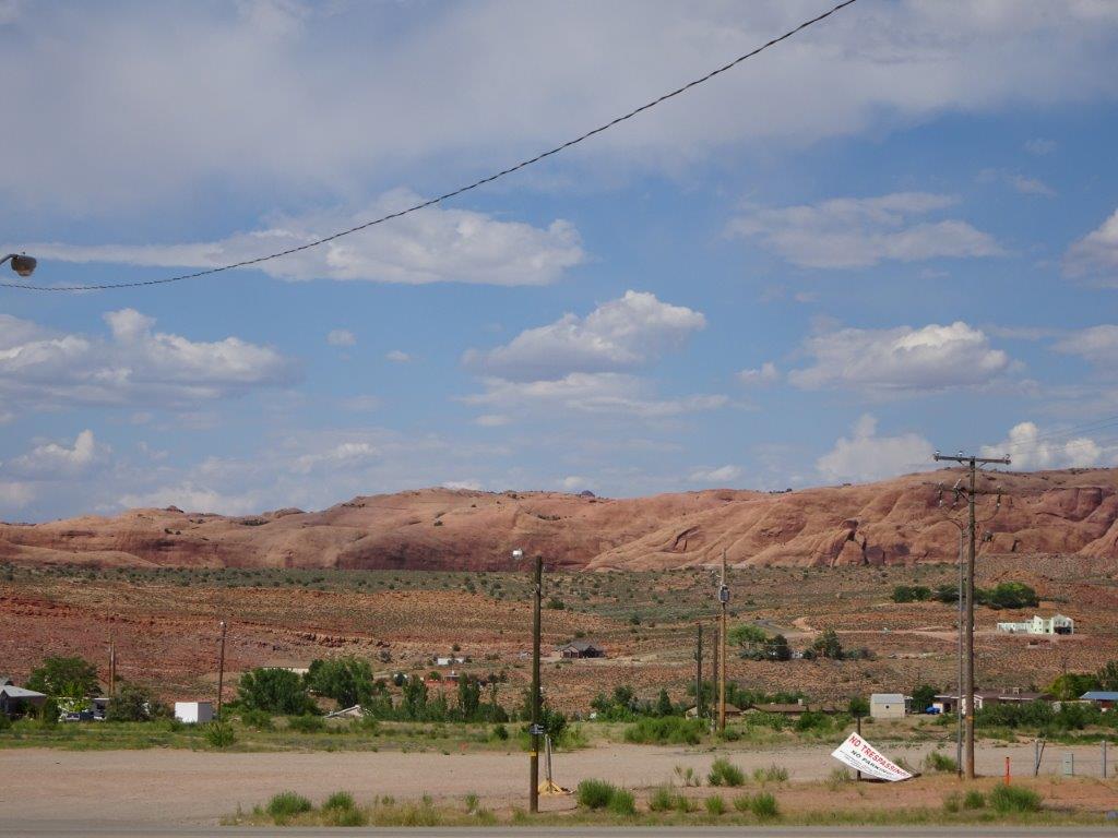
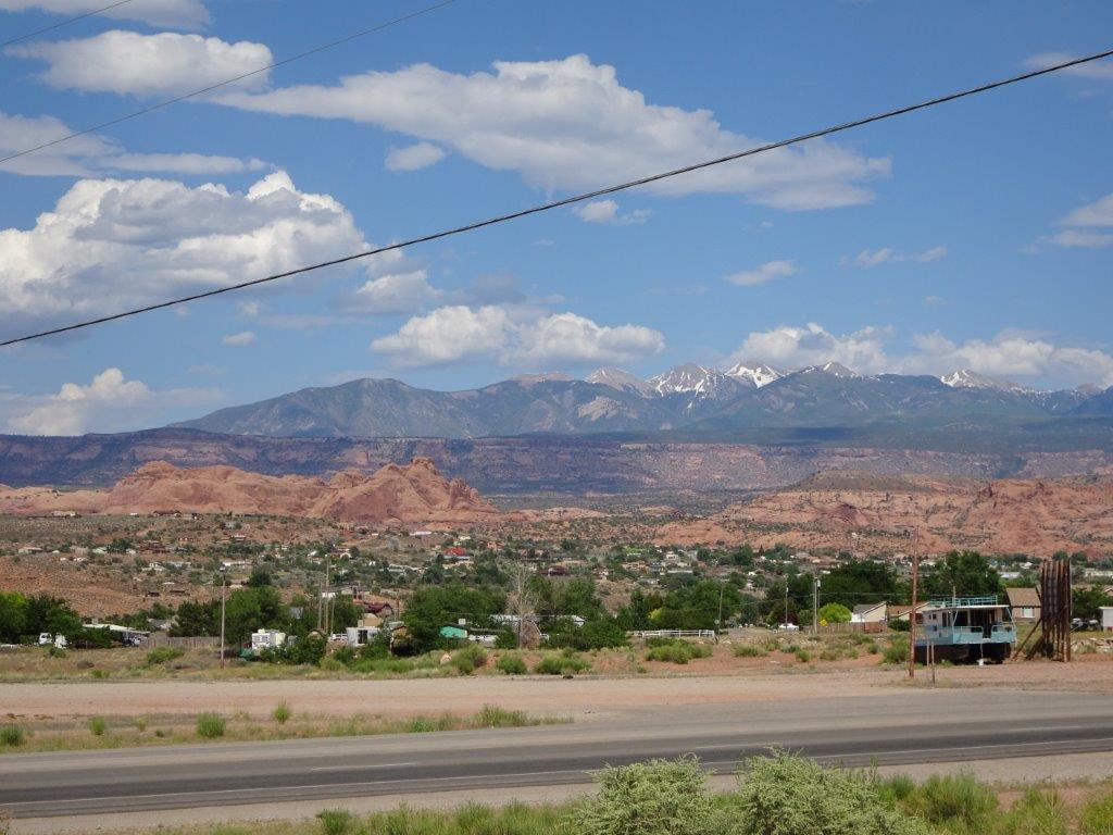
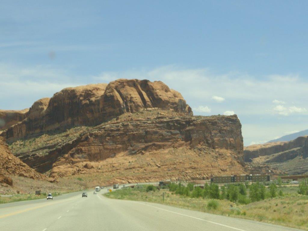
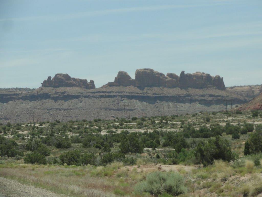
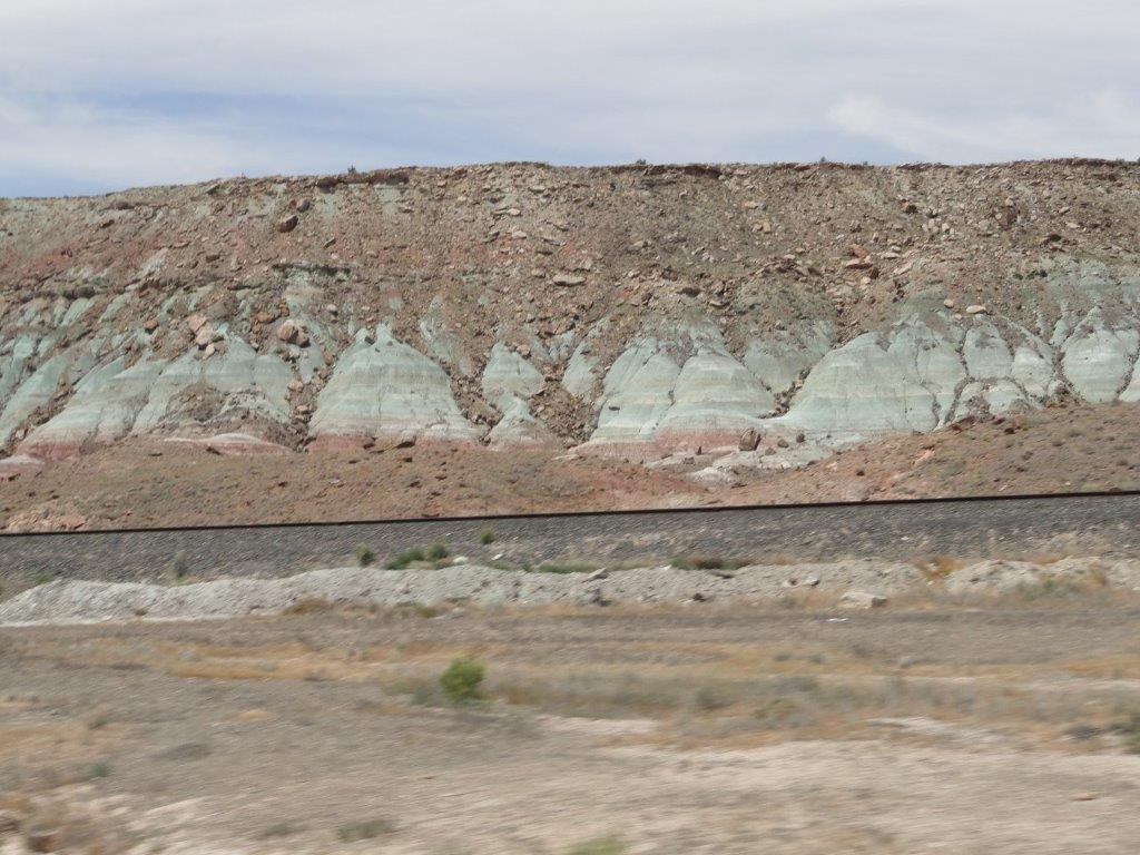
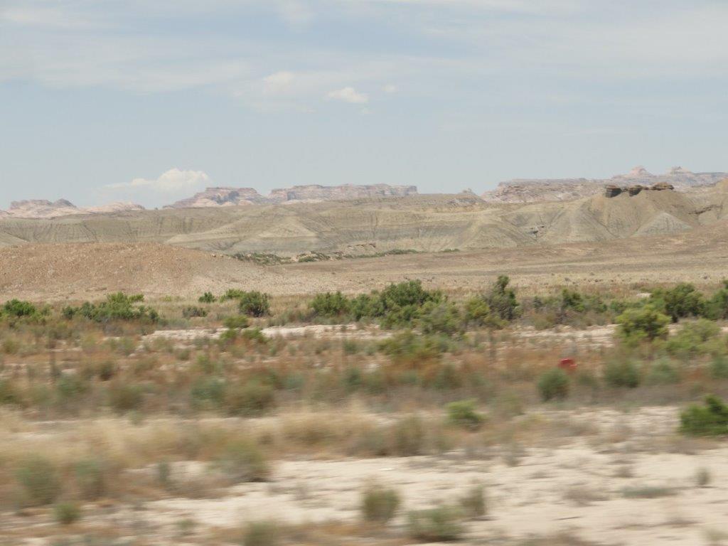
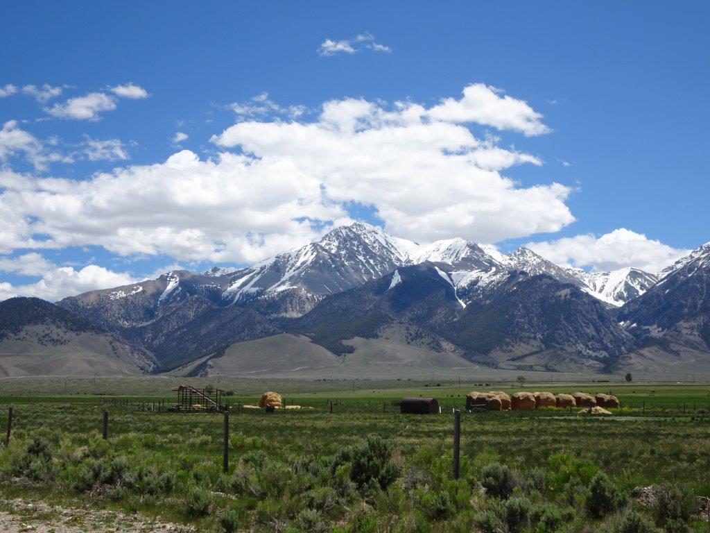
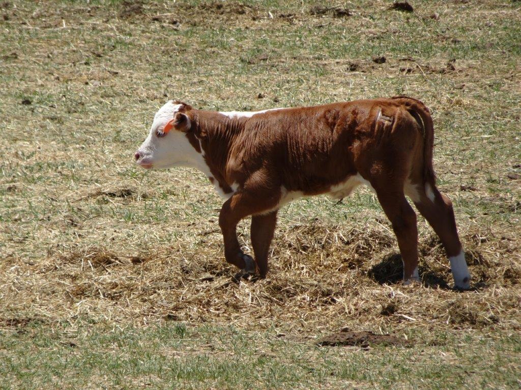
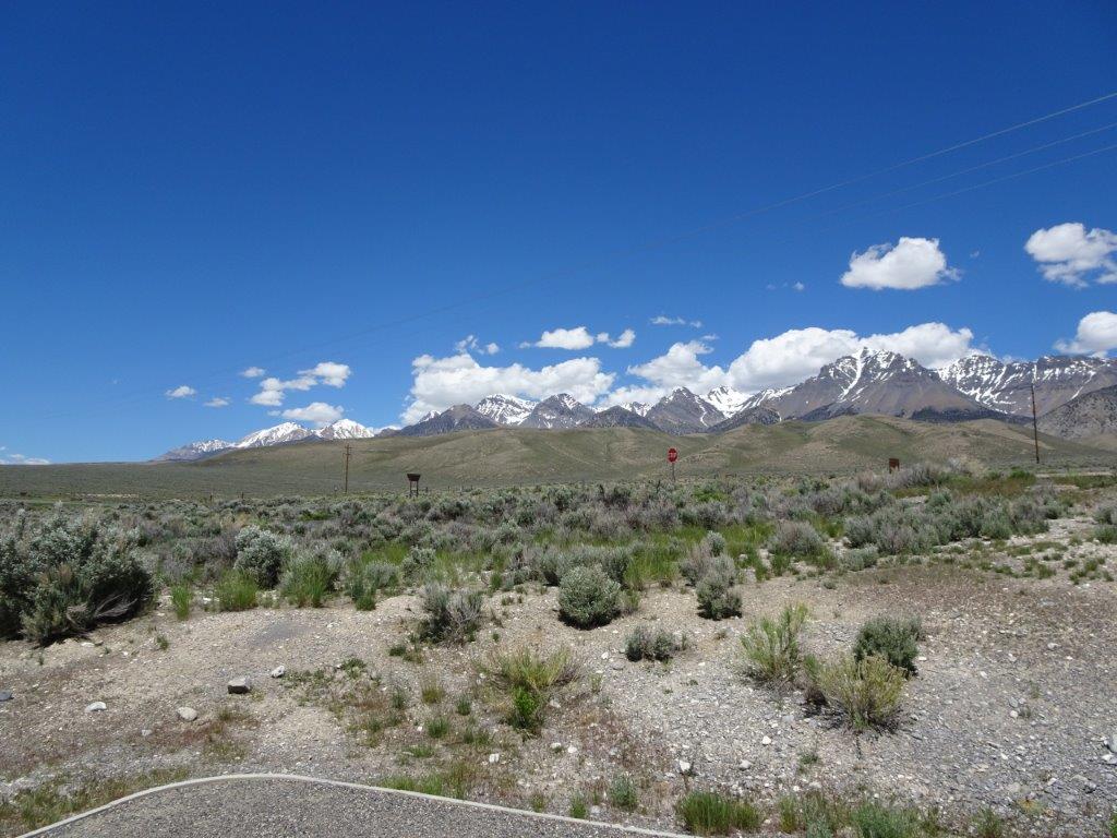
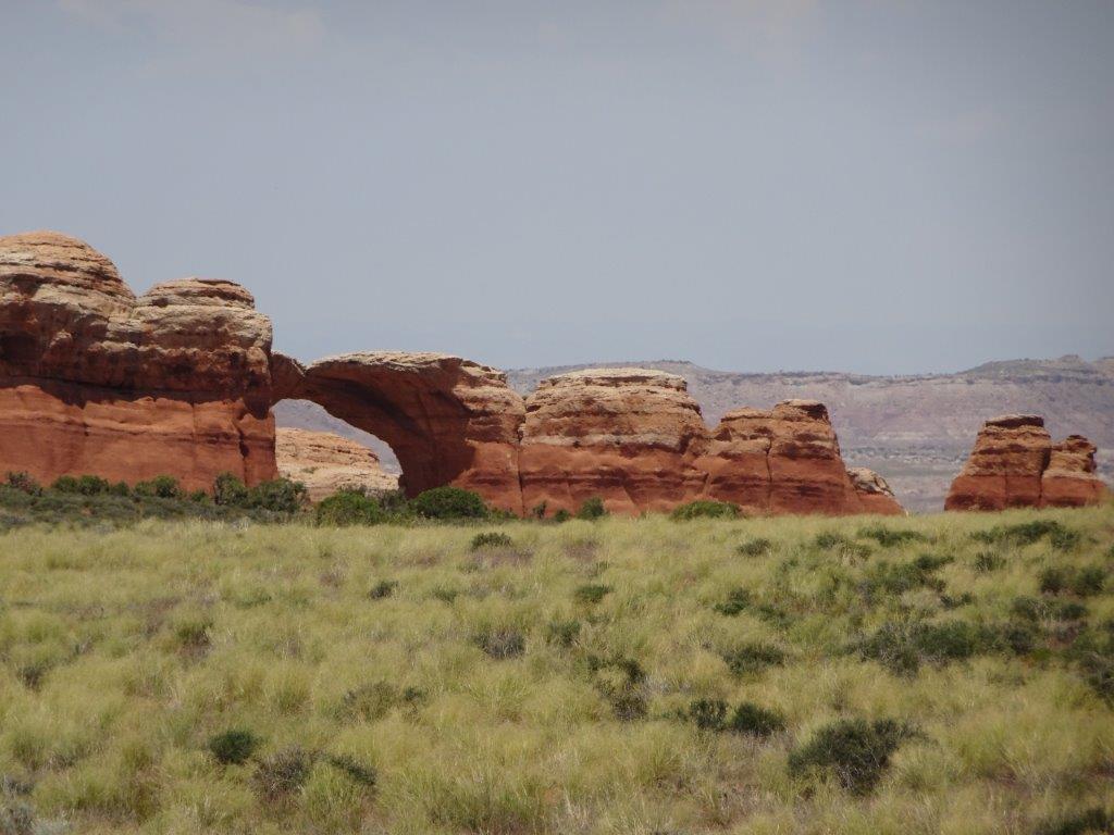
Below are general views

Dead Horse Park (1)

Dead Horse Park (19) Dead Horse Park (18) Dead Horse Park (17) Dead Horse Park (16) Dead Horse Park (15) Dead Horse Park (13) Dead Horse Park (10) Dead Horse Park (9) Dead Horse Park (5) Dead Horse Park (4) Dead Horse Park (3) Dead Horse Park (2)

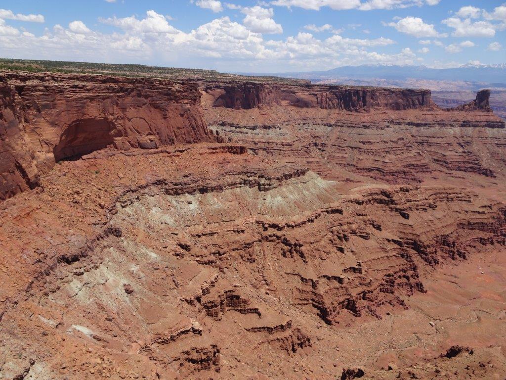
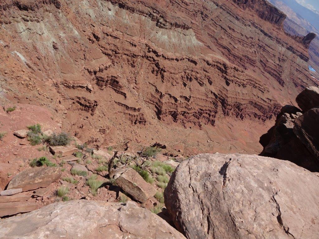
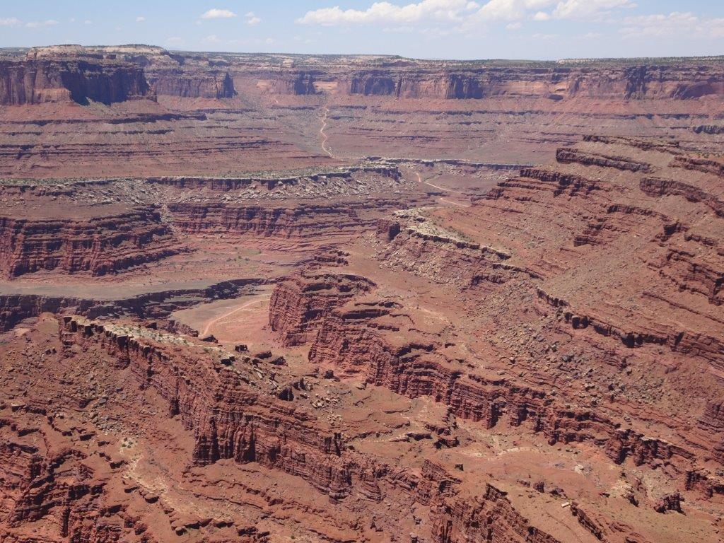
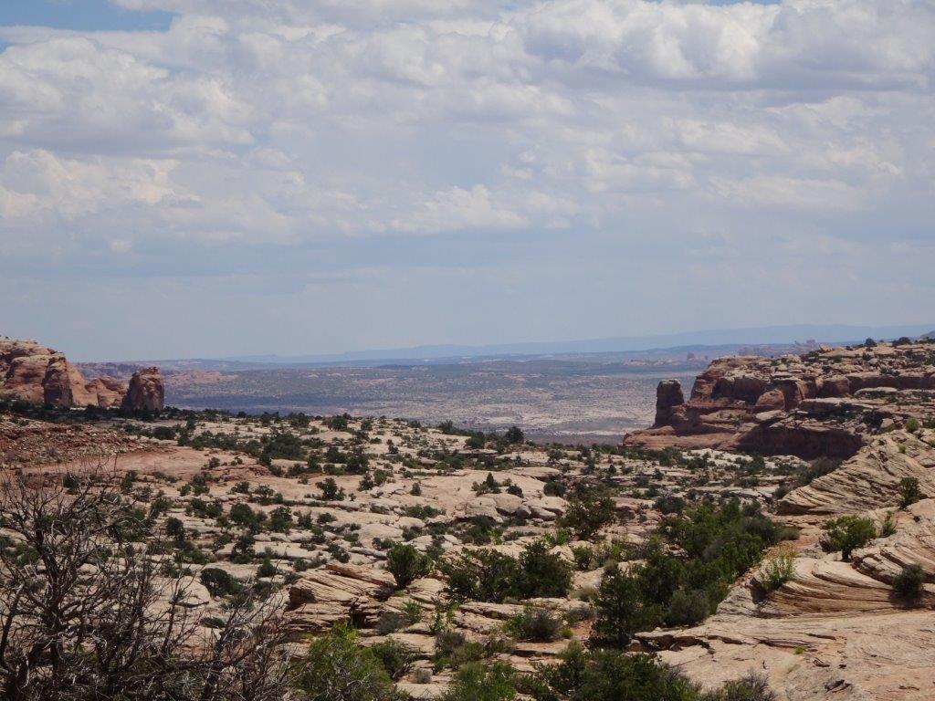
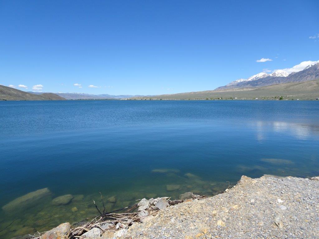
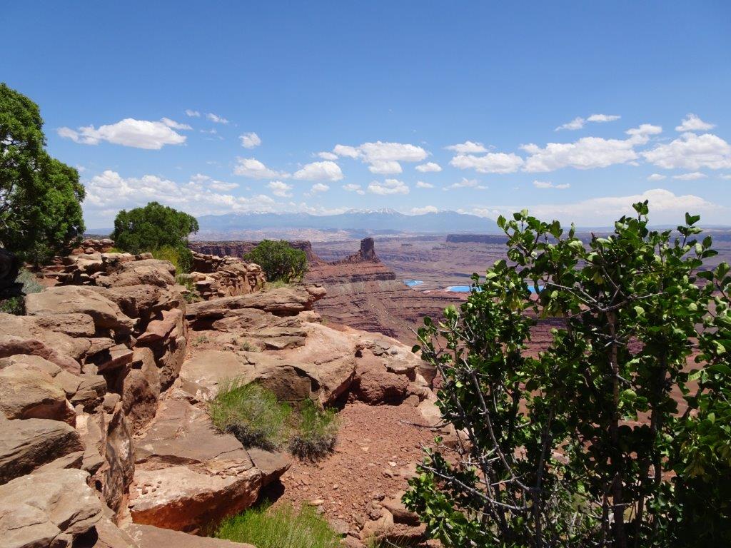
Below are a couple of shots taken from our lunch stop.
Lunch (1)Lunch (2)

As I mentioned at the beginning, the Colorado River was 2000 ft below the point.Colorado River (6) Colorado River (5) Colorado River (4) Colorado River (1)

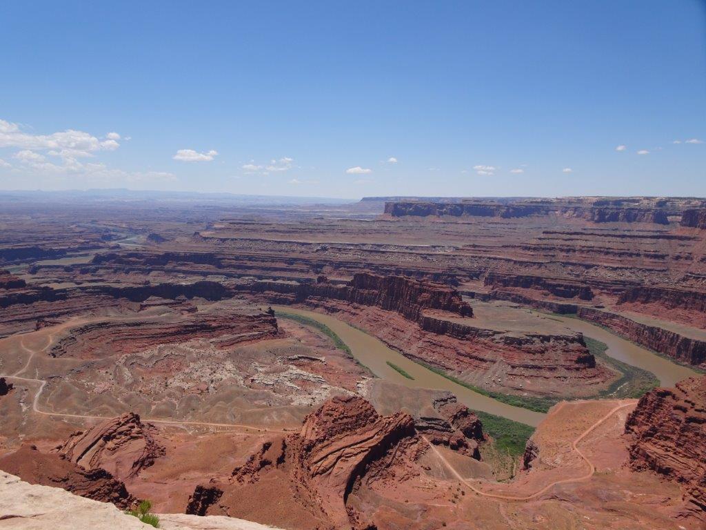
As were looking out over the river there were a couple of bright blue patches visiblePotash Ponds (3)

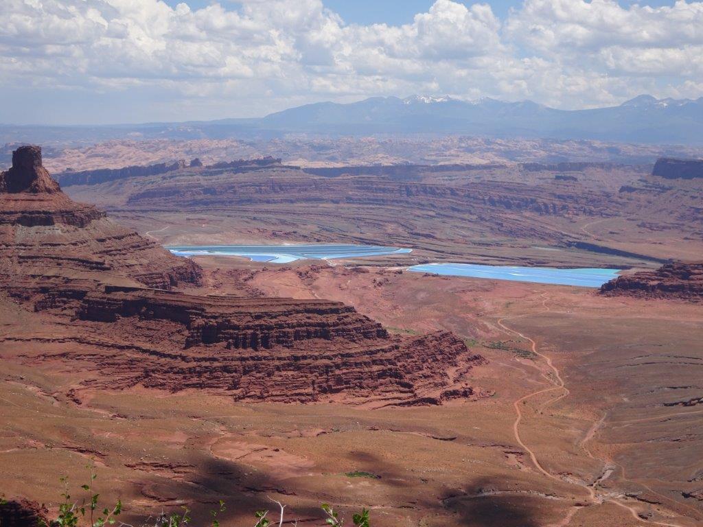
These looked like lakes, but the colour just seemed too vivid. In fact they were lakes, but they were there for commercial purposes. The area is rich in potassium chloride, which is used in fertiliser production. Water is pumped from the river into the rocks below the ponds, this creates a potassium chloride solution that is forced to the surface. The solution is left there to evaporate, bright blue dye is added to speed up the process, and then scrapers are used to remove the product.

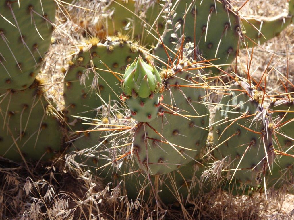
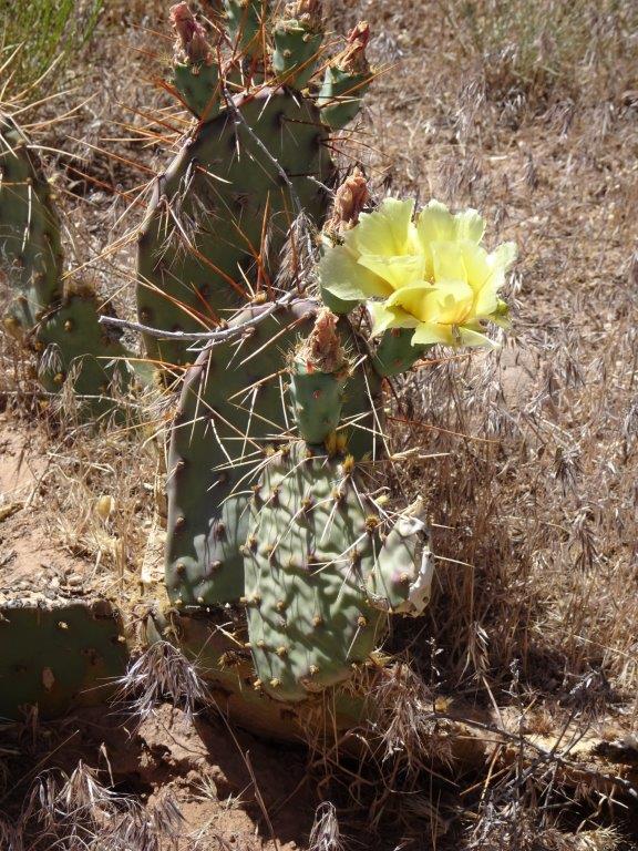
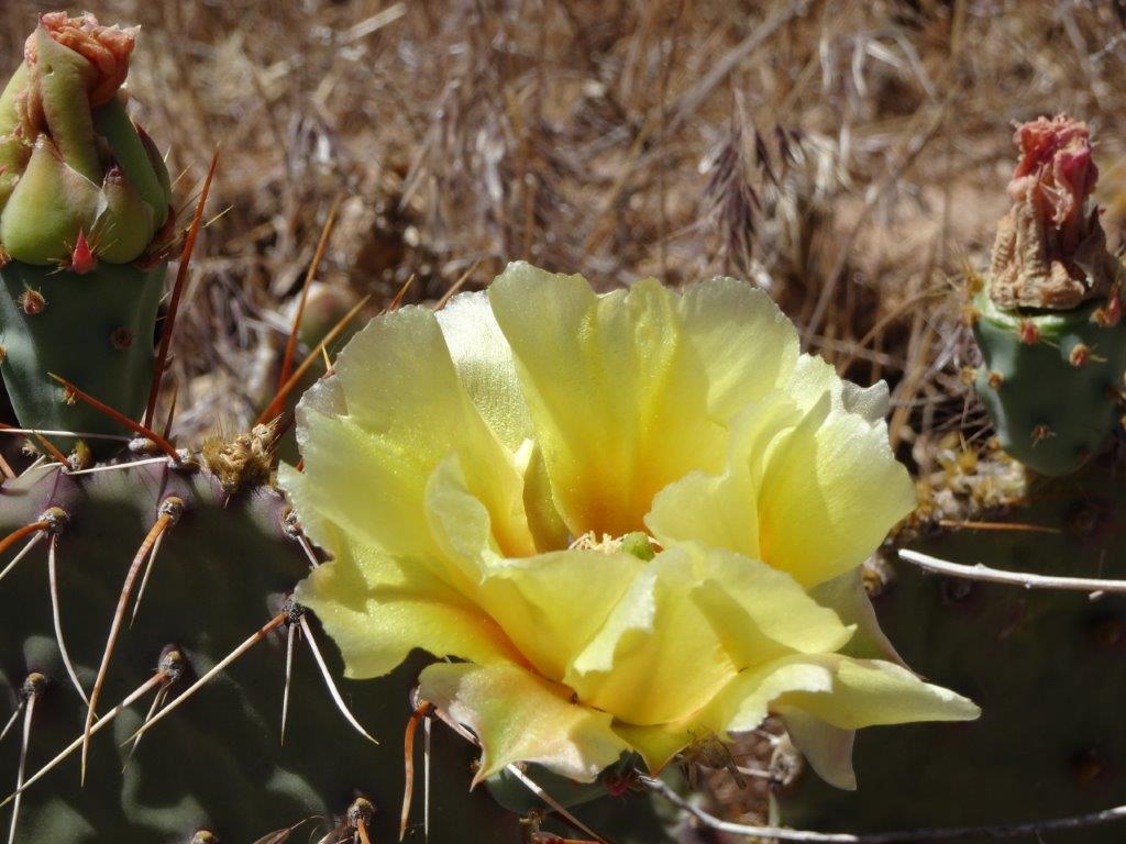
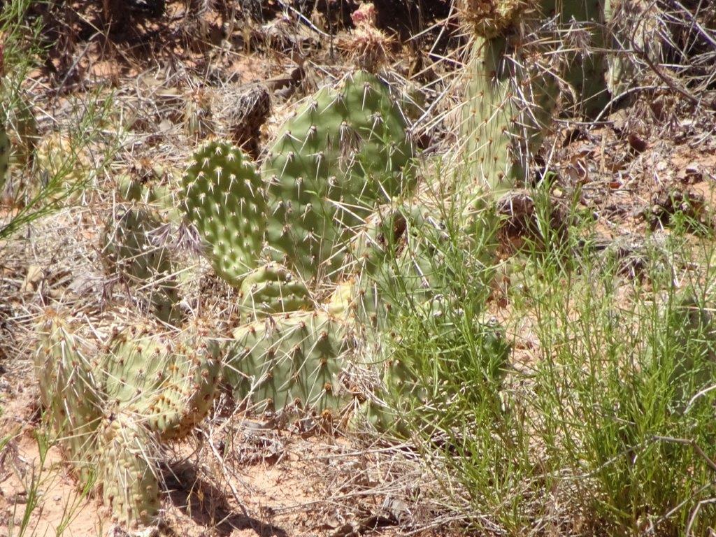
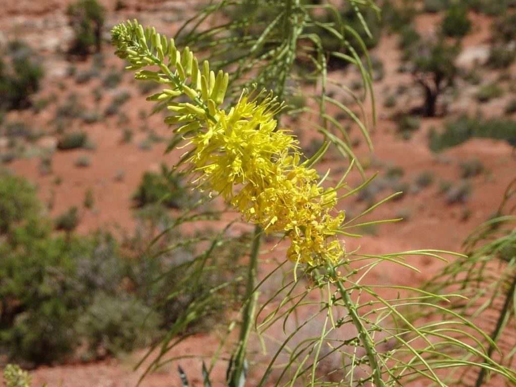
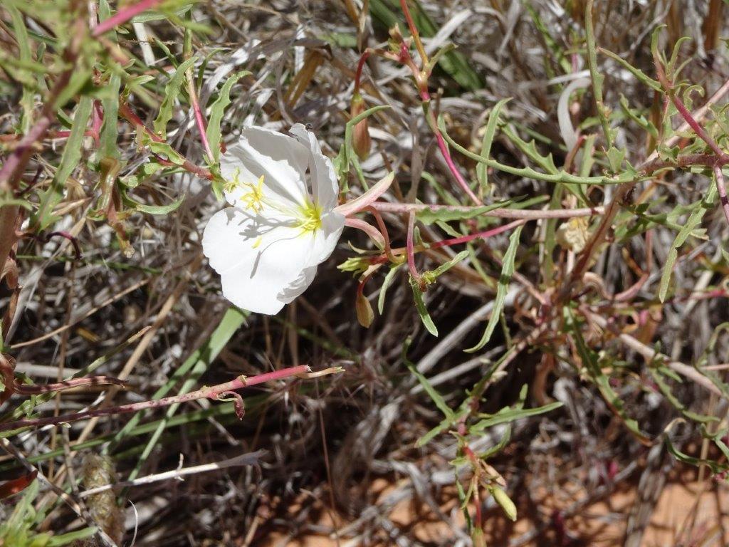
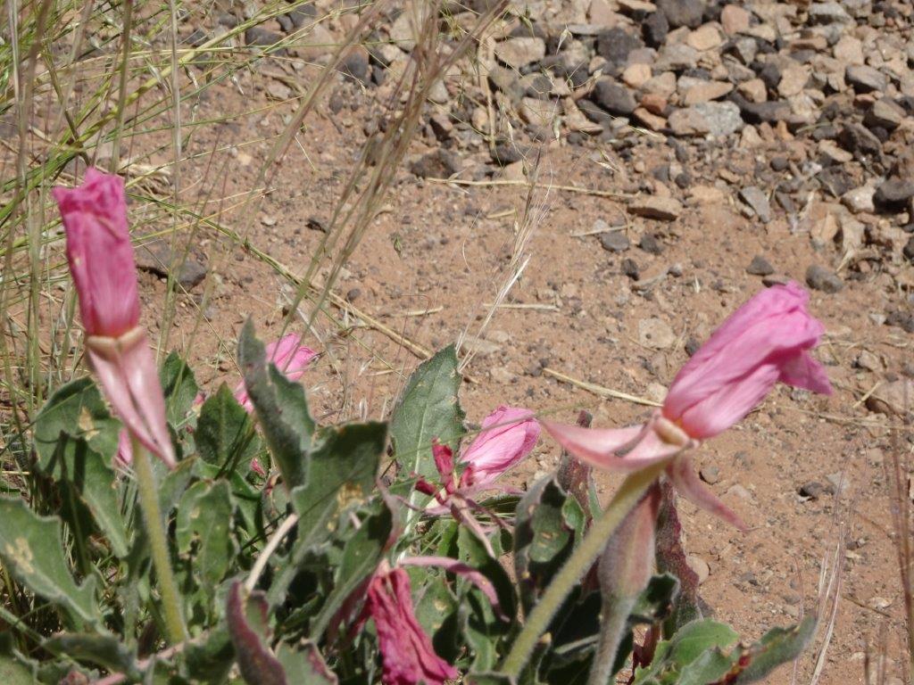
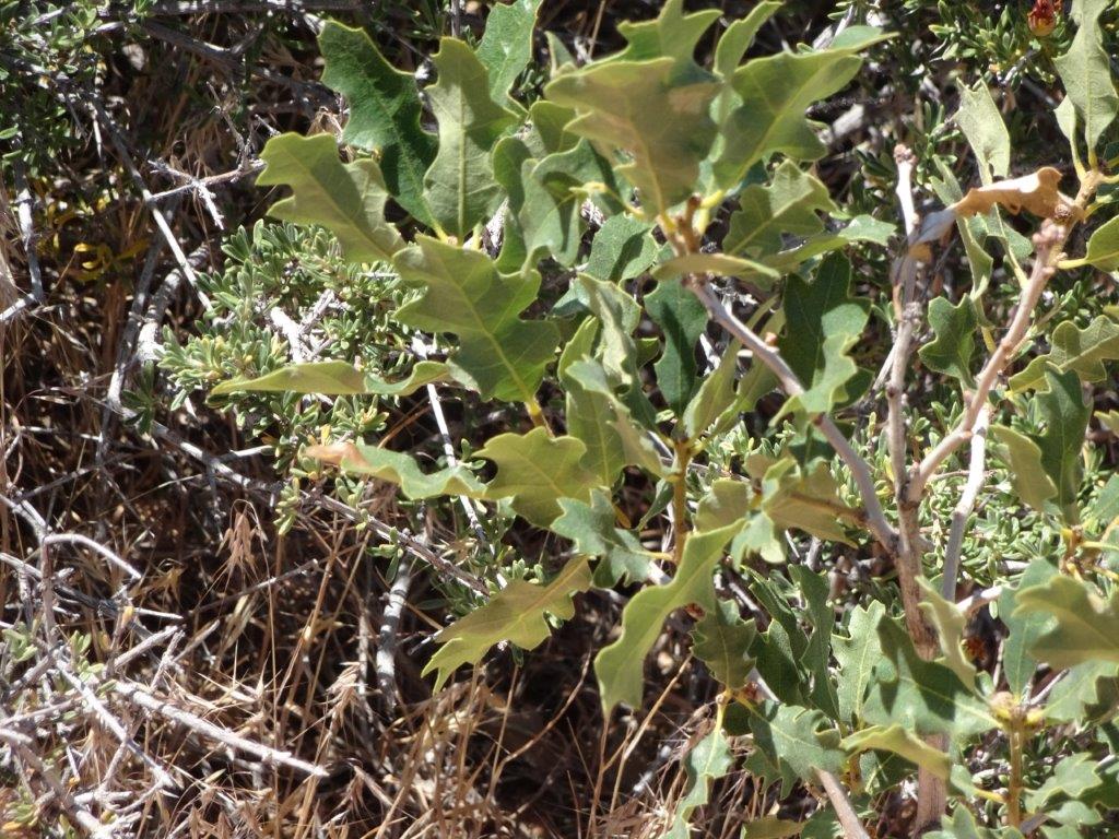
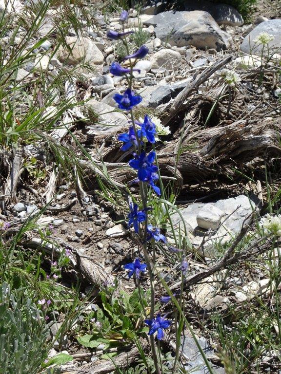
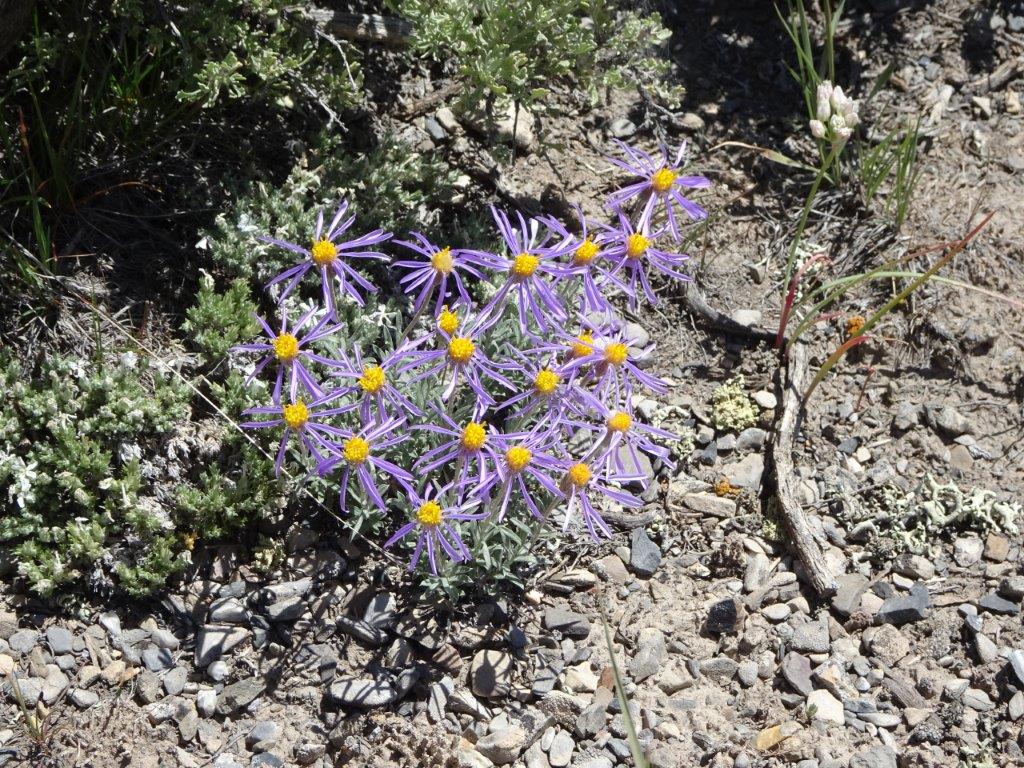
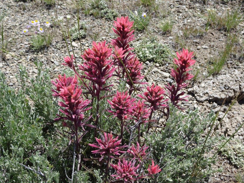
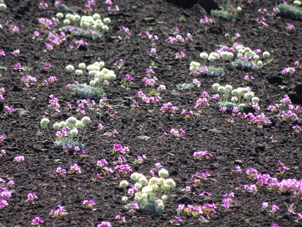
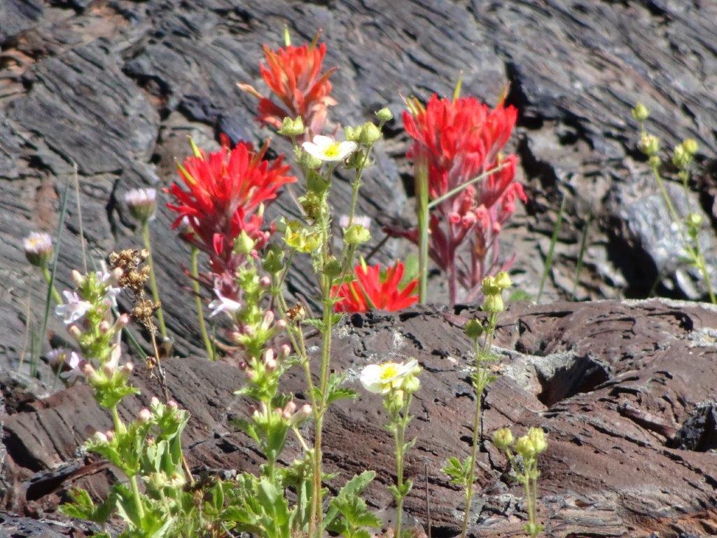
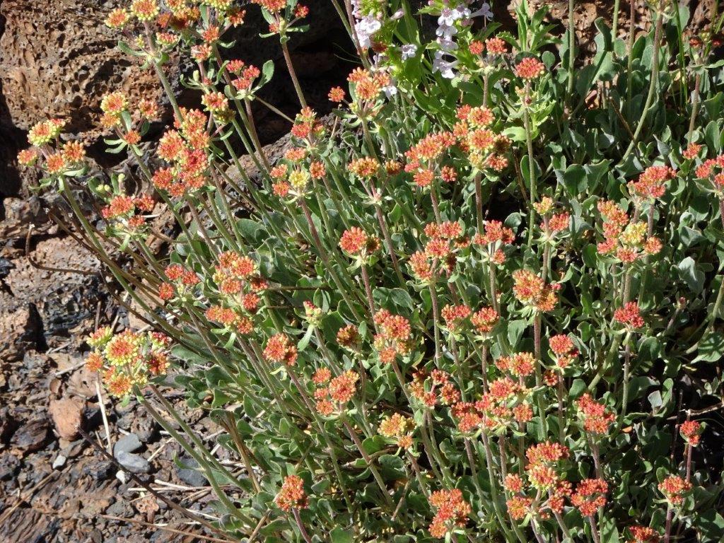
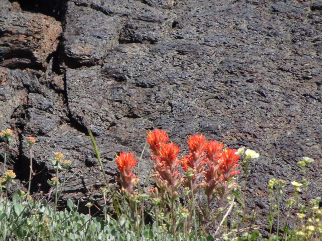
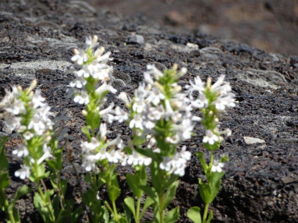
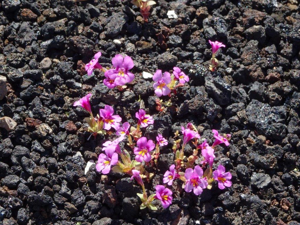
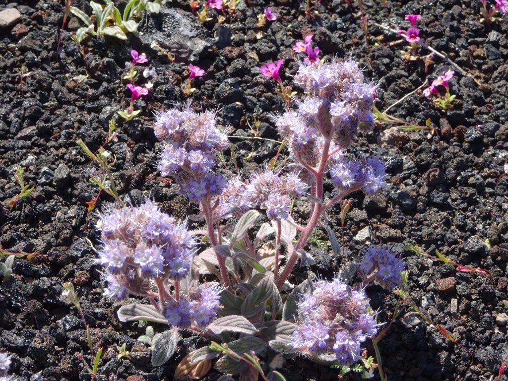
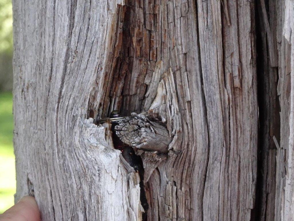
One of our cache detours took us into an area of cacti, again many were flowering.

Cactus (2) Cactus (1)

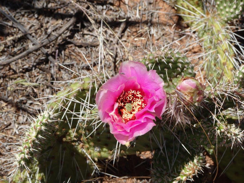
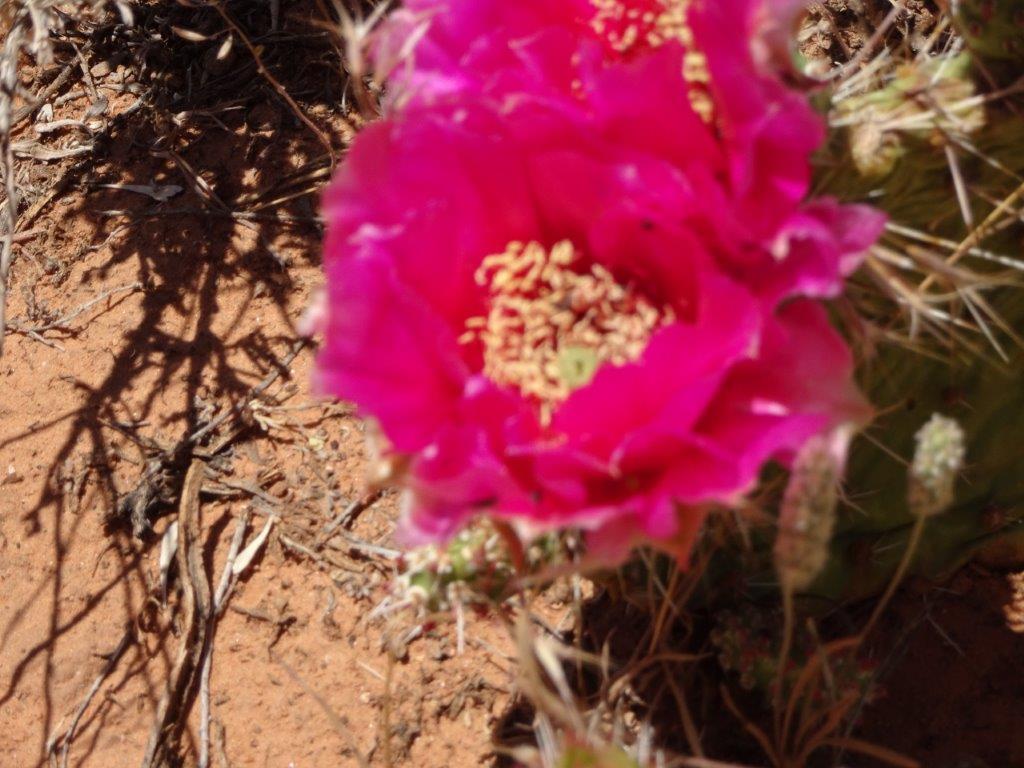
Ummm…. need to read up on using the macro setting!

The last surprise of the day was an oil well in the middle of nowhere.Oil Pump
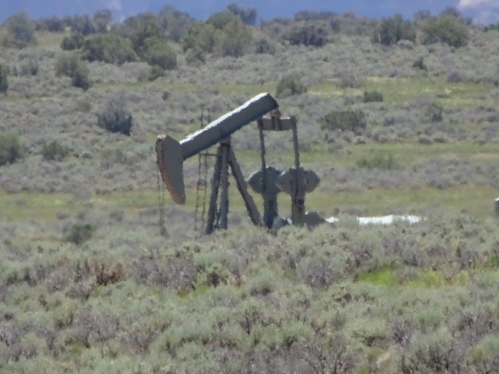
We headed back to the campsite, with a quick stop for fuel and some forgotten groceries.

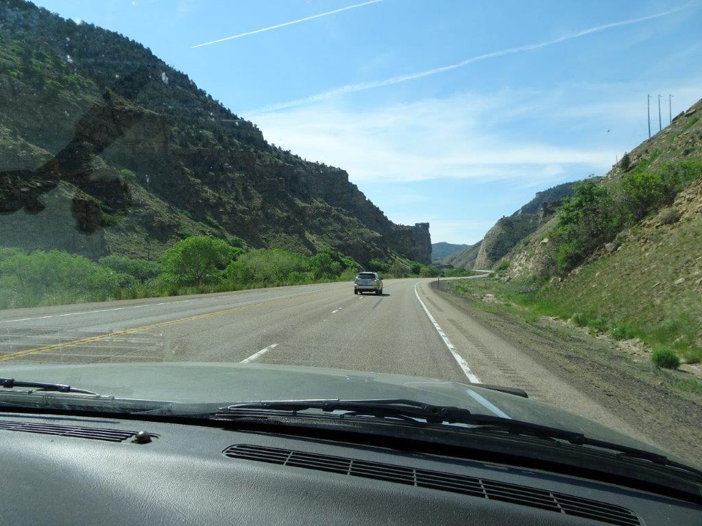
As we descend the 2000 ft from the park the nice cool temperature of 26°C rose up to 34°C. At least that is a little cooler than the peaks of a couple of days ago.
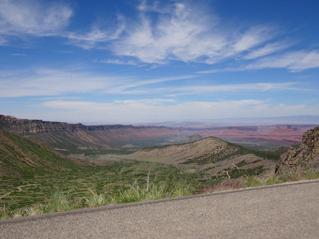
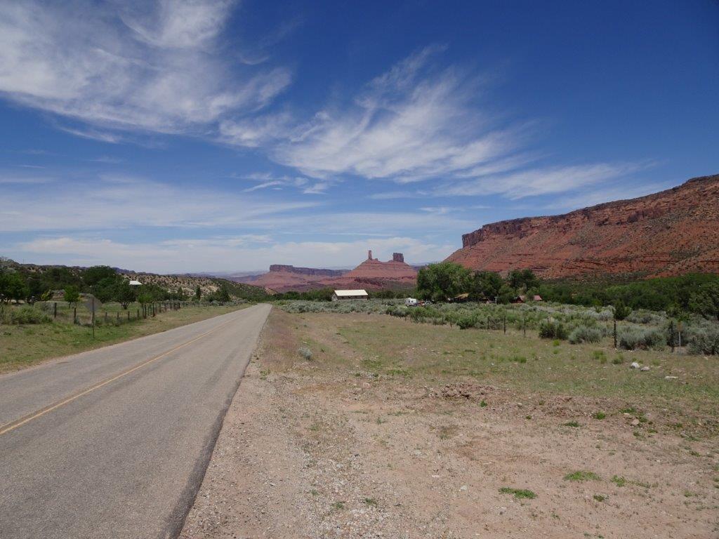
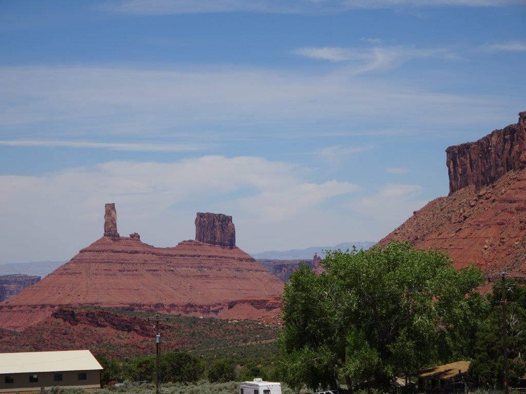
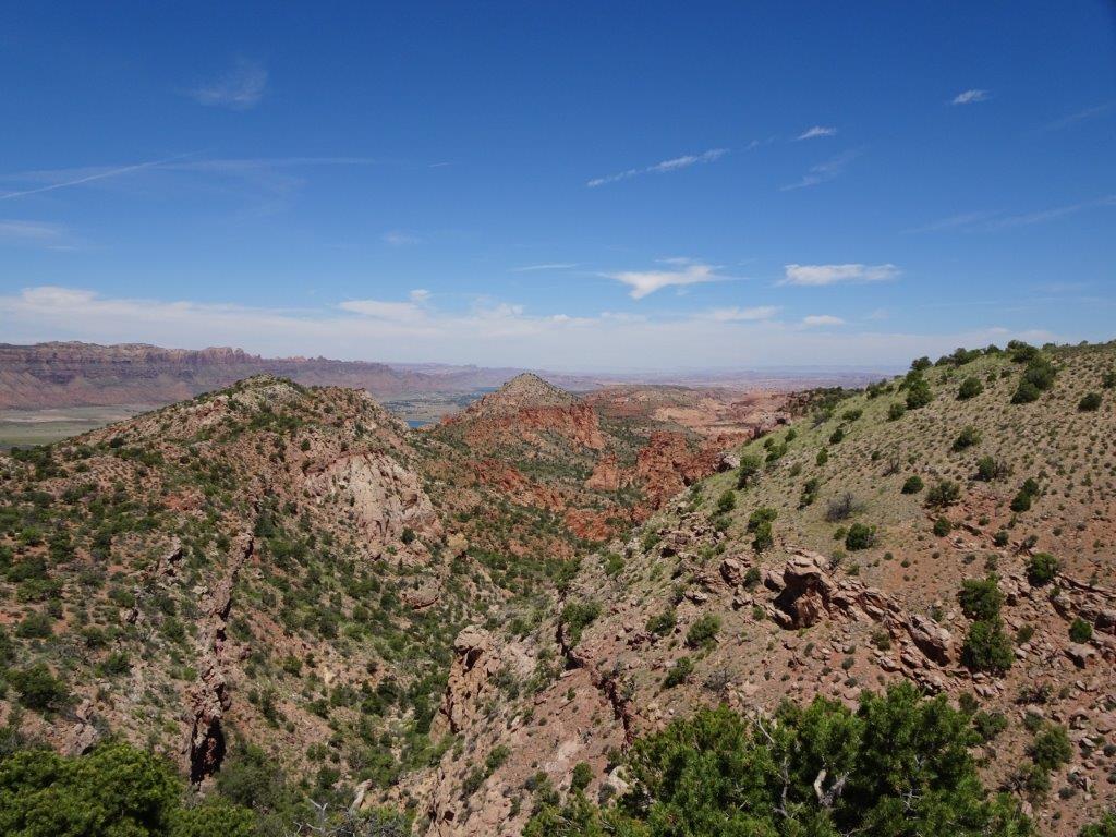
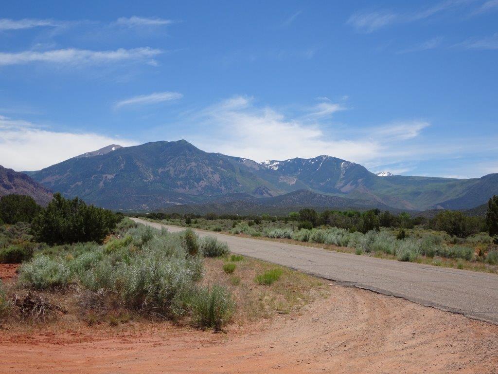
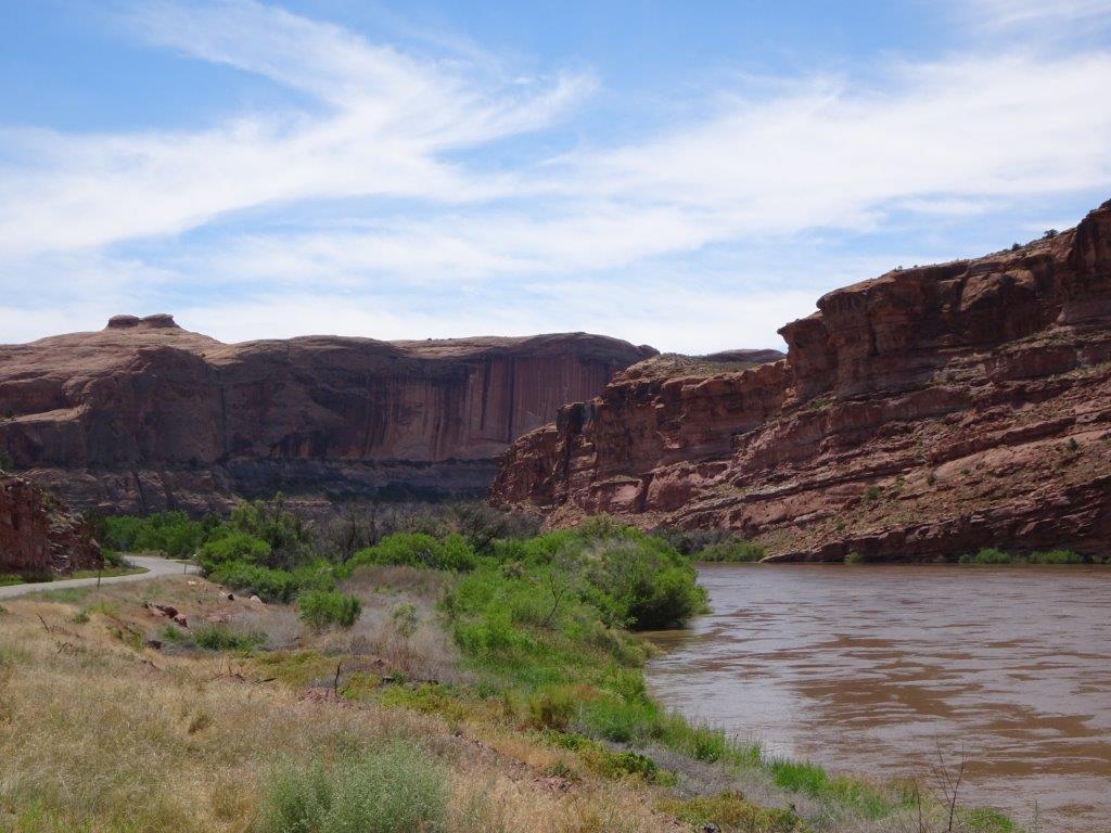
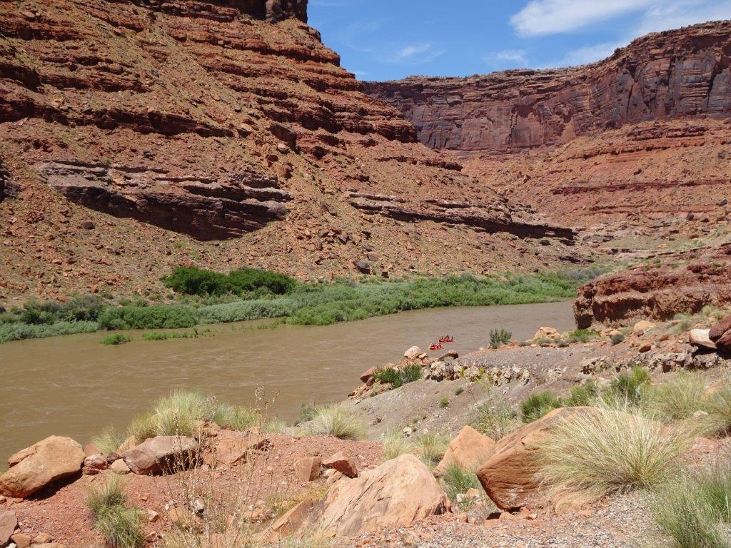
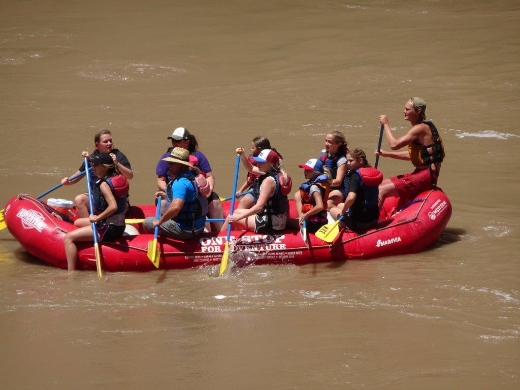
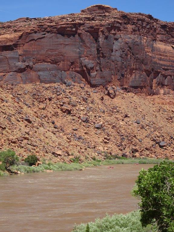
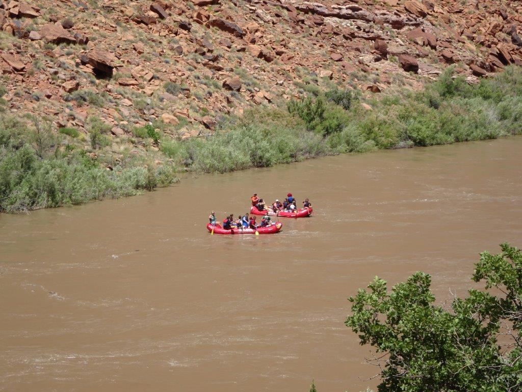
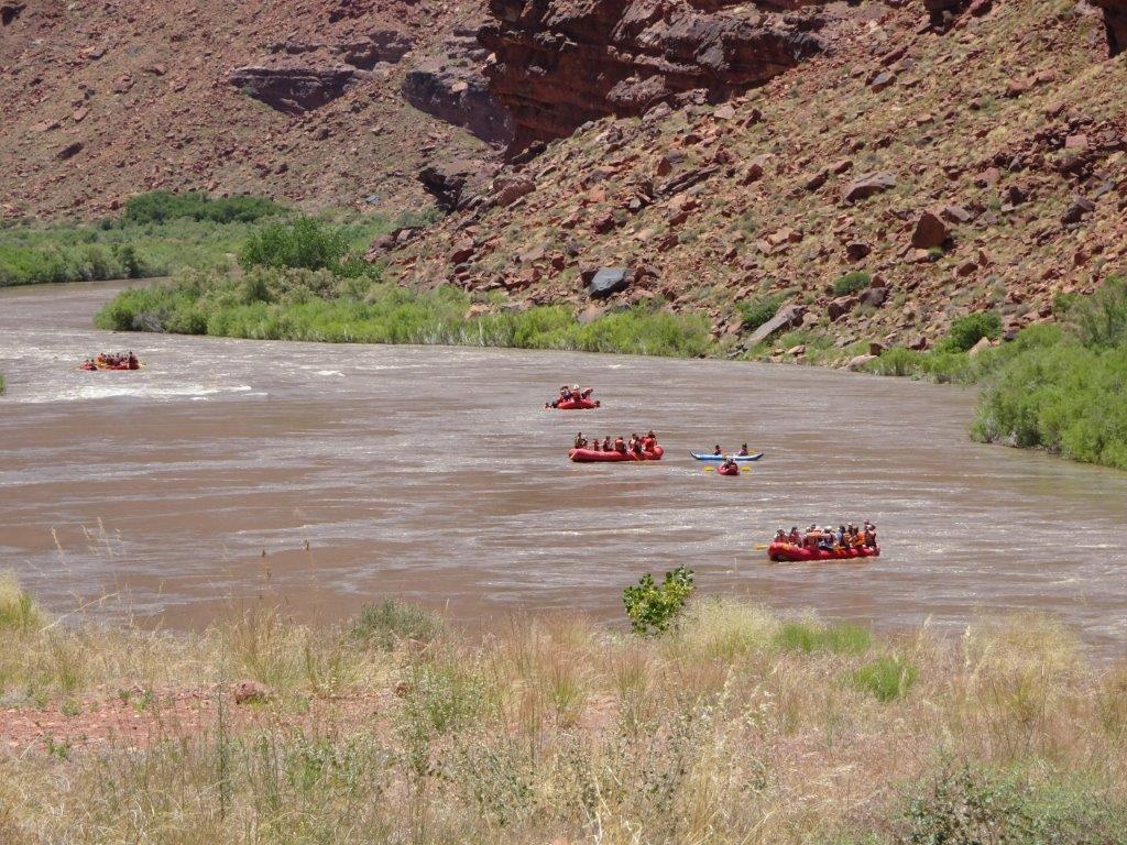
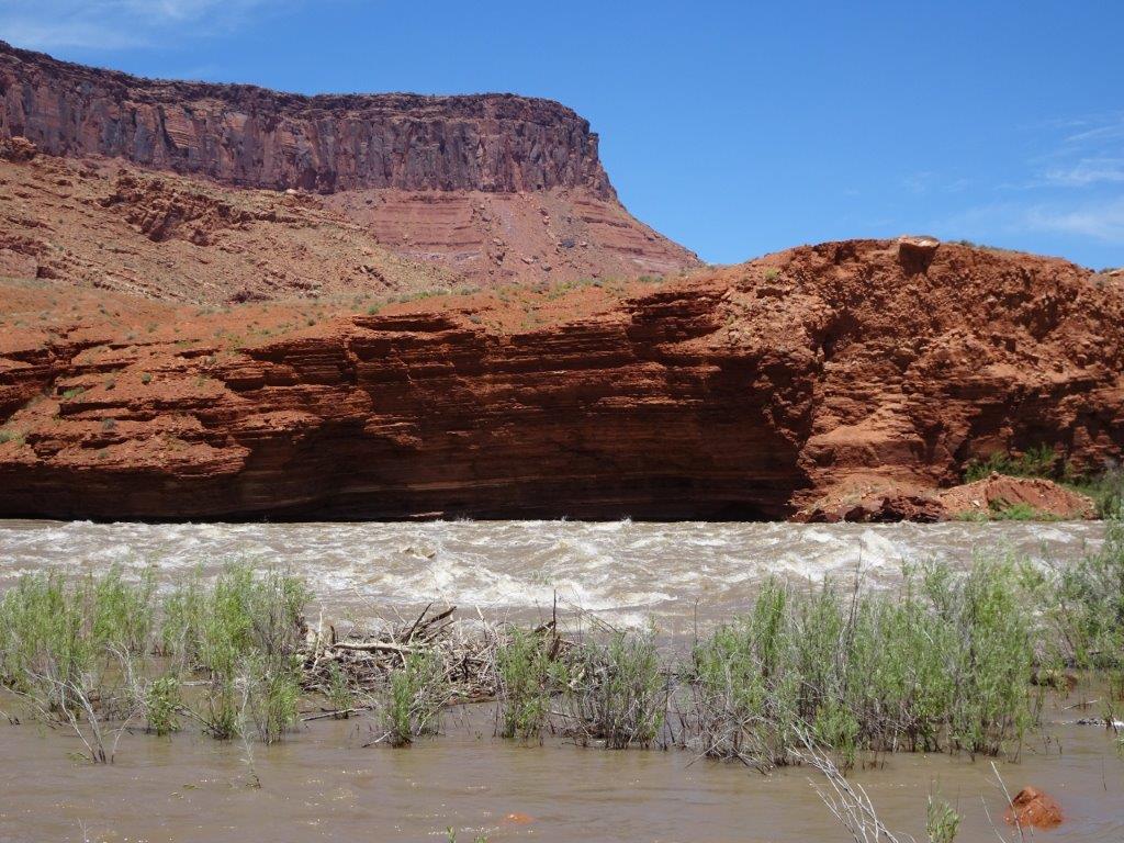
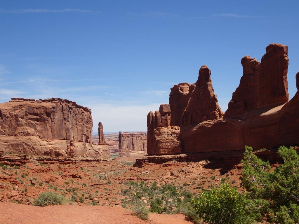
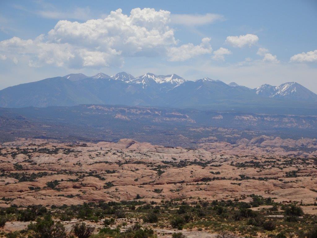
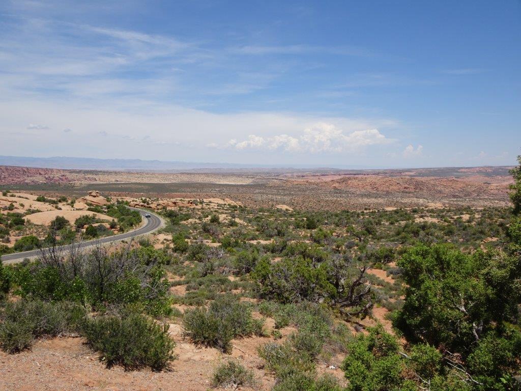
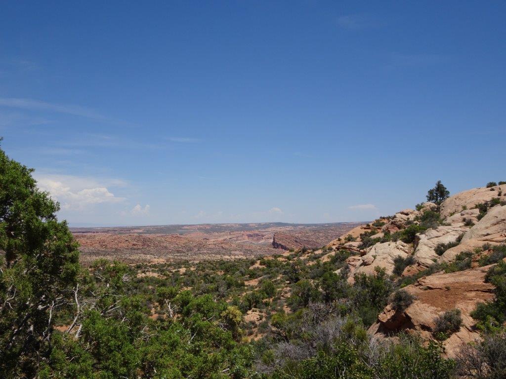
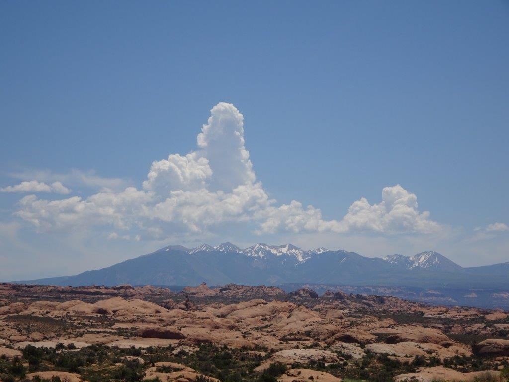
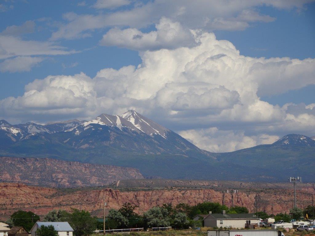
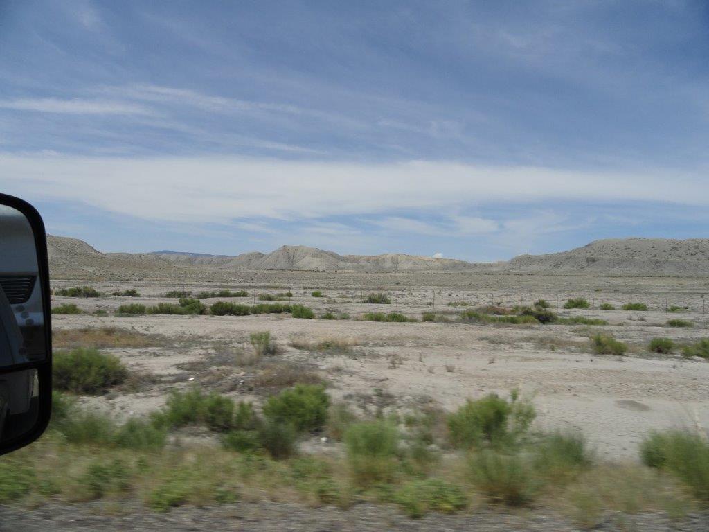
Posted in 2016, Trips, Week 8, West Coast | Leave a comment

Finally………………

Woke up to an overcast day and ONLY 26°C outside. Inside was a chilly 21°C. For most of the morning the A/C worked as it should have, it came on, it cooled down, it switched off. Repeated as necessary, unlike previous days where it had ran flat out from 8 AM until 11 PM!

This morning a little more maintenance was required, numerous thousands of bugs that had chosen the front of the trailer as an aiming point for their kamikaze mission practice had to be removed. Why can’t bugs learn to die without leaving blood and body parts all over the place.

I also needed to lubricate the 5th wheel hitch on the back of the truck, it had been a bit reluctant to spring back into the locking position recently. I, or more specifically my right index finger, can now attest to the fact that the locking mechanism springs back very well!

It was still cool enough at lunch time to sit outside for lunch, a first on this trip. We headed into town to do the weekly grocery shopping, then came back to the trailer to do nothing. The clouds cleared this afternoon, so the temperature started to rise up to 36°C, but the trailer maintained its cool.

We also managed an evening meal outside today, this is getting close to real camping!

I figured there have been enough photos over the last couple of days, so this is a photo free day.

Posted in 2016, Trips, Week 8, West Coast | Leave a comment

Cool Air!

Another warm night, but again everything cooled down enough for a good nights sleep.

Today’s trip was a loop around the La Sal Mountains, the highest of which was over 12,000 ft, or 3 times the height of Ben Nevis in Scotland.

As we hit the start of the loop, I was a little discouraged to see that, according to the GPS, the road came to a dead end just a couple of miles in. In reality the road physically existed, the GPS just didn’t know about it! It may have been because we had just entered a National Forest, or it could have been that the road was in such bad shape that the GPS was embarrassed to show it. There were more pot-holes per mile than Ottawa roads (sorry Bryden).

We started to climb almost immediately, and by the highest point we were up at 8,325 ft. The good news up this high was that the outside air was only 24°C…. bliss! Lyn was living in fear of coming into contact with snow, but it was a few hundred feet above us.

We saw an area of yellow flowers off the side of the road, they turned out to be flowering cactiBudding CactusCactus with a Bud

Flowering Cactus (2) Flowering Cactus (1)

Again I am going to take the easy way out and inundate you with pictures, I have had no complaints, so it must be an OK way to go.

The group below are general vies as we drove around the loop.La Sal Loop General (12) La Sal Loop General (6) La Sal Loop General (1) La Sal Loop General (3) La Sal Loop General (4) La Sal Loop General (7) La Sal Loop General (8) La Sal Loop General (9) La Sal Loop General (2) La Sal Loop General (16) La Sal Loop General (15) La Sal Loop General (14) La Sal Loop General (13)As in the Arches Park there were a number of the red stone rock formations.

Now for the lunch viewsLunch View (2) Lunch View (1)

As we descended from the mountain we were heading down to the Colorado River. There was plenty of activity on the river with white water rafters. Much as we wanted to join them, we both figured we’d get fried to death with the current weather. Hopefully we will find somewhere in Colorado next week, where hopefully the temperatures will be a little cooler.

Colorado River (17) Colorado River (16) Colorado River (15) Colorado River (14) Colorado River (13) Colorado River (12) Colorado River (11) Colorado River (6) Colorado River (10) Colorado River (5)

There was even a jet skier going against the rapids

Colorado River (7)Looking Good

Colorado River (8)Trying Hard

Colorado River (9)Back to the Drawing Board

Another day full of great scenery, tomorrow may be a little cooler, so we will probably hang around the camp site and do the weekly shopping

Posted in 2016, Trips, Week 7, West Coast | Leave a comment

Rocks, Rocks and More Rocks

Last night the A/C was left running as the outside air remained around 30°C until after 11 PM, so there was no natural cooling of the trailer. It was a comfortable nights sleep with a wake up temperature inside of 22°C and outside 28°C.

Today’s trip was to the Arches National Park, about 7 miles up the road from us. Unfortunately our donated National Park pass expired at the end of May! Like all the National Parks we have visited, this one was well worth the price of admittance.

Again, as with many of the sights we have seen on this trip, it is best to let the camera do most of the talking.

We started off climbing up above the entrance area, and looking across the road, which was in a valley caused by a fault line, the earth split and separated along the fault and the land on the far side dropped about 270 ft lower than the land where we were.

Moab Fault (3)Moab Fault (5) Moab Fault (4)We headed on around the park to an area known as Park Avenue

Park Avenue (7) Park Avenue (8) Park Avenue (7) Park Avenue (3)

In this area were a couple of rocks that appeared to be balance on others
Park Avenue (5)

Park Avenue (4) Park Avenue (6)

The few trees that there were in the area weren’t too healthy looking!

Narly Tree

Below are some general views taken on the driveThe Arches General (15) The Arches General (7) The Arches General (1) The Arches General (9) The Arches General (12) The Arches General (13) The Arches General (19)

Above is the first Arch we saw

The Arches General (20) The Arches General (6) The Arches General (5) The Arches General (4) The Arches General (2)

Balanced Rock (3) Balanced Rock (4)

Above is the Balanced Rock, the first shot from a distance, the second from underneath it!

While looking up I saw an aircraft, and decided to see how well the zoom worked!

Plane (1)

No great detail, but enough to identify it as as a Southwest Airlines Boeing 737.

Our lunch views for today:

Lunch View (2) Lunch View (1)

We headed further north into the park towards more arches, although there were a number of walking trails, most were 2 or more miles and with the temperature hovering around 37°C we decided not to attempt them.

We did however take a short walk to see both the Sand Dune Arch and the Broken Arch. the walk to the Sand Dune Arch was cool, both figuratively and physically, the temperature dropped noticeably as we walked through the gaps in the rocks.


Sand Dune Arch and Trail (3) Sand Dune Arch and Trail (2) Sand Dune Arch and Trail (1)

Sand Dune Arch and Trail (4)

Above is Sand Dune Arch, below is the Broken Arch on the far right, you can see the two supporting pillars, but no Arch. The arch to the left of it is showing signs of cracking at its crown.

Broken Arch (2)Broken Arch (9)
Broken Arch (10)

Another short walk took us to the Delicate Arch.

Delicate Arch (2)

The only wild life we saw in the area were a couple of lizards, but there were a few cactus (catcusses, cacti)?

Flowers (3)

As well as an assortment of flowers.

Flowers (1) Flowers (7) Flowers (2)Also something that looked vaguely like a holly bush

Flowers (5)

Hot and tired we were at the end of the trail, so far we had not used the A/C in the truck, but as we would be heading non stop back to the park entrance we enjoyed its cool luxury!

Back in town, we broke down (us not the truck) and headed into a store that sold medicinal ice cream!!

Tomorrow is forecast to be hot again, but we will be visiting the Le Sal Mountain range and climbing up to around 10,000 ft where it should be cooler.

Towering Cu Over Le Sal Mountains

The Le Sal mountains with snow and an a towering cumulus cloud above them.

Posted in 2016, Trips, Week 7, West Coast | Leave a comment

Acclimatising

The outside temperature moderated late last night, dropping down to around 25°C by 11 PM. We decided to switch off the A/C and open up all the windows. This worked well, and by wake up time the trailer was at 20°C. With the trailer nice and cool we closed all the windows up, pulled down the blinds and switched the A/C back on. With the temperature forecast to go up to the high 30’s again I figured it would be best to start cooling early, rather than trying to play catch-up later on. Again the plan worked and despite the outside air climbing to 36°C, the inside stayed down around 27°C.  Not overly cool, but comfortable. One of the downsides of the trailer is that we chose one with plenty of windows, which is great for the view, but lousy for insulation as it is only single glazing.

Talking of views, this is what we can see from the trailer.

View from Moab Campsite (3) View from Moab Campsite (2) View from Moab Campsite (1)

As we usually do, the first (and usually last) day at a site is a stay local day. After breakfast I did a little maintenance around the trailer, the smoke detector had parted company with the ceiling after all the shaking the trailer went through with the deformed tyre. I also had to replace a switch at the hot water tank that had burnt out a couple of weeks ago. I had a replacement sent here, so it was time to install it. For the last two weeks the switch wires had just been twisted together (i.e. switched on all the time), today’s job was simple, untwist the wires, crimp on a couple of connectors and connect to the switch. Simple…… wrong!

Got it all connected up, switched it on and no voltage to the heating element. What could I have done wrong, by anyone’s standard it was a simple job. Long story short, after half an hour of trouble shooting the light came on, metaphorically speaking. The tank was full of hot water, hot water doesn’t need heating therefore the thermostat switches off power to the element. I ran off some of the hot water to allow cold water into the tank, put it all back together and now it worked!

After lunch we headed into the city (everything’s a city around here) of Moab. This is very much a tourist area at the gateway to the Arches National Park, nonetheless Lyn managed to find a yarn store.

Tomorrow we’re of to the Arches, the locals recommend that we be there at 6 AM to beat the heat. That won’t be happening! we’ll be there about 10 AM and will beat the heat with the trucks A/C and plenty of cold water!

Posted in 2016, Trips, Week 7, West Coast | Leave a comment

Lyn Wanted it to Warm Up, Now She Wants it to Cool Down!!!

Woke up at the normal time and had breakfast in the motel. We headed out to the truck and admired our 4 new tyres! Then we headed off to Moab, Utah. This was a trip of 300 km, with only about 50 km on Interstate.

The first thing we noticed was the smoothness of the ride, its amazing what difference round tyres make. We figured the tyre must have been going out of round for sometime, and we just put the ride down to having the trailer on the back, anyway all is smooth now.

Almost immediately we started climbing up to 7750 ft. Again the scenery was varied, from desert to fertile valleys to scrub land to fantastic rock formations. Below is a mix of the views.

DSC05961 Arco-Moab (2) DSC05966 DSC05965 DSC05964 DSC05963 DSC05962 DSC05960 DSC05957 DSC05956

We had taken 5 pictures with the new camera, and when Lyn went to take another it wouldn’t switch on …….. I am getting a tad p*******d off wit all these things going wrong. As well as that little incident, I think we both get a little jumpy if we go over some road surface that causes the truck to bounce, or if there is a jumpy gear change as we go up hill!!

As has been the norm for the last few weeks we could drive 20-30 miles without seeing a house or any other type of building.

Anyway, we arrived at the campground and checked into the office, we got back into the truck to pull onto the site, guess what the truck wouldn’t start!!!!  Wasn’t too worried this time, I was sure I knew the cause AND the cure. It was the same problem we had a couple of weeks ago, when the engine has been working hard and everything gets pretty hot a vapour lock forms in the fuel filter housing. All that is required is a few pushes on the priming pump to expel the vapour.  Now I know the problem and the cure I need to look around for the cause.

The temperature climbed up to 39°C (102°F) today, and our poor air conditioner is struggling to keep the trailer around 30°C. The saving grace is the 8% humidity. At least we can look forward to the temperature dropping at night time down to around 20°C

Finish on a good note….. once I recharged the camera battery it worked fine, evidently the USB charger in the truck doesn’t provide enough current!


Posted in 2016, Trips, Week 7, West Coast | Leave a comment

Want to Buy a (almost by now) New Truck?

Woke up to a warm, but overcast morning. Overcast is good for travelling.

After breakfast we got the trailer packed away and hooked up in about 40 minutes, and were on our way to Springville Utah for a night stop.


Trailer on Site (1)

Trailer on Site

As the day progressed the temperature rose, by lunch time it was around 28°C as we pulled into a rest area to make lunch.

Lunch View - UtahLunch Time View

We continued south and drove through Salt Lake City, by now the temperature was up to 36°C  (97°F). About this time we noticed the ride was not as smooth as it should be. We put it down to the concrete road surface, which has expansion joints. Depending on the distance between the joints the truck and trailer can get out of sync with their ups an downs. Having convinced myself that this was the issue we pressed on. Unfortunately mt theory bit the dust when we hit smooth tarmac and the bad ride continued.

By now we were at the hotel, so I checked out the trailer wheels, and then the truck ones, nothing seemed out of place. The tyre pressures were a little high due to the high outside temperature but nothing else seemed amiss.

I unhooked the truck, and drove around. There was still some bouncing but not too bad. maybe the high pressure was the issue. I headed off to get some fuel, and happened to pass a tyre store, so I decided to drop by and have them check it out. They suggested balancing may be the issue. The guy went out to move the truck into the shop, then turned around and came back. Evidently one tyre had a tread separating, this meant that not only would it go bang very soon, about a third of the tyre had ballooned about 1 inch, meaning the tyre was no longer round. The guy estimated we had a few miles left on the tyre before it died (by miles he meant a single digit number!). Well it’s not worth buying one tyre is it… 4 tyres and a haircut later (what else was there to do while I waited?) I left there to get some fuel.

By the time we get home we’ll have a new truck, in the meantime I need to find Lyn a job to pay for all this.

Posted in 2016, Trips, Week 7, West Coast | Leave a comment

10,000 Kms

Yet another clear and sunny day, with the wake up temperature at 21°C. We may regret wishing for hotter weather soon, the forecast for the first 5 days at our next stop in Utah is 99, 102, 99, 98, 97 °F. OR 37, 39, 37, 37, 36 °C. I feel sorry for the air conditioner already. The consolation is the humidity, it is low at around 15%

This is our last day here before heading out, it is a 400+ mile trip to the next site, much of it on non interstate roads. Previous experience has shown that a realistic average on these roads is 45-50 mph, with stops for food, gas etc that could be a 10 hour day. We don’t do those any more, at least not with the trailer in tow. So tomorrow will be a hotel night, the chain we stay with sent me 4 $25 gift vouchers to use before September, coincidentally we have 4 more hotel nights between now and home. That brings the price for a night in a motel down to that of a night in a campground.

Today we decided to just laze around, and take a walk into the city of Arco. We also decided to get all the caches in the city, all 3 of them that is! Below is a pictorial visit to the city.

The Big CityBack in the UK, to be a city you required either a University or a Cathedral. Arco has neither, but it does have 3 auto-parts stores, maybe that’s the requirement here.

Claim to Fame

Arco’s Claim to Fame

Downtown ArcoMain Street

Truing to make it betterPerhaps They’re Trying to Improve Things

UmmmmmSigns Like This Don’t Help !!

We found our first cache in a park, I’ve often talked about caches, but I don’t think I’ve shown any

Cache (1)

Above is Lyn holding the cache, the top unscrews and there is a small paper log roll that you sign as proof of finding it.Cache (3)The Cache Back in its Hiding Place

Submarine Sail

Wasn’t expecting to see a submarine surfacing downtown! Another cache location.

Pronghorn Deer

The pronghorn I didn’t get a shot of yesterday!

HorsesA Few Horses

We walked 3¼ miles in 30 degree temperatures, should have shed a few pounds. Later in the afternoon I went out to fill up the truck, when I got back I noticed we had just completed 10,000 kms on this trip to date.

Posted in 2016, Trips, Week 7, West Coast | Leave a comment

The Magic Valley

We woke up to yet another perfect day, 20°C and clear skies. The campground has filled up a bit for the weekend, but it is still nice and quiet!

After breakfast it was time to head out for some more exploring. Yesterday it was craters, today it will be The Magic Valley. I haven’t been able to find out the reason behind the name, I guess someone somewhere knows, but they’re not telling!

We set off after breakfast complete with packed lunch, it’s not too easy to find eating places out here.

We’ve noticed in many parts of the States that the towns initial is displayed on a hill close by; Arco has gone one, or several, better, the high school graduating class over the last few decades have carved out their graduating year.

Hill Above Arco

The first stop was the MacKay reservoir.

MacKay Resevoir Area (5)MacKay Resevoir Area (2)

MacKay Resevoir Area (1)

There was a dam associated with the reservoir, together with a small hydro generating station, what was a little unusual was the dam appeared to be a natural one with the water exiting via man made tunnels, as shown in the above two pictures.

MacKay Resevoir Area (6)

Looking down on the outflow.

Moving on from the dam we stopped for our first cache of the day at Leatherman Peak, this is Idaho’s second highest mountain, the highest is a few miles down the toad and about 400 ft higher

Leatherman Peak

Further along the road Lyn spotted a solitary deer, this was different to previous ones we had seen. In particular it was much smaller.

Pronghorn Deer (1)

This was a pronghorn deer, unfortunately this one had no horns. We saw one later on with horns but couldn’t stop in time to take a picture. There is indeed a prong at the top of the horn.

Below is Mt Bhora, 12,662 ft tall.

Mount Bhora

Next we headed a few miles up a gravel road to the site of a recent (1985) 7.3 magnitude earthquake. After the Walmart parking lot picture a few weeks ago, I figured I’d post the opposite rule here.

Earthquake Fault (1)

Below is a picture of the area where the ‘quake took place, the land here dropped 7.5 ft as a result.

Earthquake Fault (3)

Around the area we found a few more species of flowers

Flowers (1) Flowers (3) Flowers (4)

Next stop lunch, with the obligatory lunchtime view.
Lunch Time ViewThe valley was a mixture of land types, some areas were not cultivated at all, but consisted mostly of sage brush, you can see some in the lunch view picture above. They are the individual little bushes.

Other areas were given over to growing animal feed and other crops. There were also a number of horses in fields, and numerous cattle farms. There were a number of calves in the fields as well.
Cows and Calves (2)
Cows and Calves (3)One thing I noticed many years ago when I frequently flew to LAX was the huge number of green and golden circles on the land below. I hadn’t really given them much thought until recently. They are fields of crops defined by the area that is watered. No water, no crops. The watering is done by long pipes mounted on wheels that rotate about a pipe supplying the water.

Watering (2)
Watering (1)The system above only has two sections, in the larger fields they were 15 sections long!

After last nights calorie loaded dinner, its back to a simple BBQ and salad. Now the weather has picked up we can eat outside. Life is good!

Posted in 2016, Trips, Week 7, West Coast | Leave a comment

Out of This World

Another warm sunny morning. Today we headed off to the moon, well the craters of the moon. This is a National Historic Preserve, first time we have come across one of them.

We headed out to the area, about 20 miles away, and pulled into the information centre parking lot where we came across a rather unique trailer.Barrel Trailer

The couple were from Colorado, touring around.

The craters of the moon is an area of volcanic disturbance and has a unique landscape as well as a few volcanic craters. Again I’ll let the pictures do the talking. There were a lot of unique flowers growing out of the volcanic soil,

Flowers (9) Flowers (8) Flowers (6) Flowers (5) Flowers (4) Flowers (3) Flowers (2)

Lyn managed to spot a marmot on one of the rocks

Marmot (1)

The area was laid out as a driving loop with a number of parking areas and walking loops running from these parking areas. All walking trails had information at the beginning.

Trail Marker

Seems a little overkill, but I am sure there is a good reason for posting the info.

We were able to go to the top of a couple of volcanoes and peer down the rims, these volcanoes were only about 100ft high!Snow Cone

This one was known as Snow Cone, as there was an accumulation of snow in the core.

Another cone we walked up was Inferno Cone, but there was no crater at the top of this one, just a steep walk up and down, with some views from the top, the walk wasn’t as long as the one the other day where we dropped 600 ft, but the slope was twice as steep. A good cardio work out.

Inferno Cone (7) Inferno Cone (4) Inferno Cone (3)

Many of the rocks had bright coloured patches on, this was lichen

Lichen (5) Lichen (2)

Below is today’s lunch time view

Lunch View (2)

The rest of the shots are just general views around the area

Craters of the Moon  (10) Craters of the Moon  (7) Craters of the Moon  (6) Craters of the Moon  (3)

Back at the campground we tried Skyping Paul as it was our grandsons 2nd birthday, but they were too busy celebrating at Boston Pizza. Not to be outdone we headed over to the cafe associated with the campground, which was rumoured to serve up excellent ribs. The rumour was true!

Posted in 2016, Trips, Week 6, West Coast | Leave a comment